A world-famous tourist resort north of Agios Nikolaos, with lacy, windless sandy beaches, crystal clear…
Ziros – Chandras Plateau
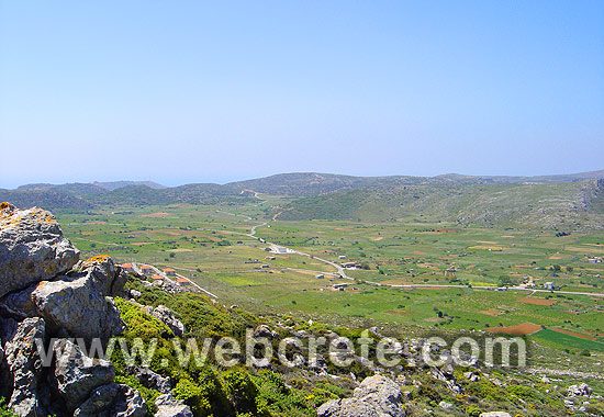
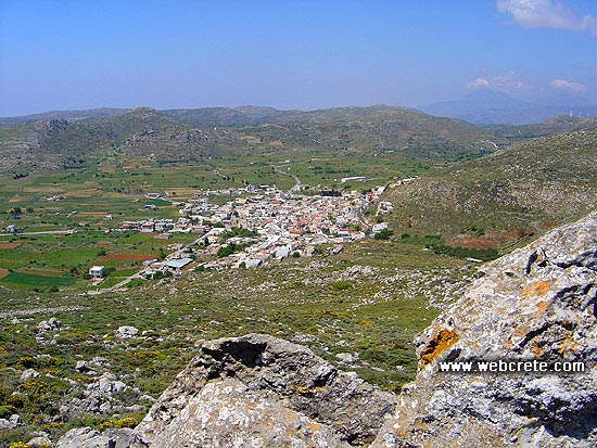
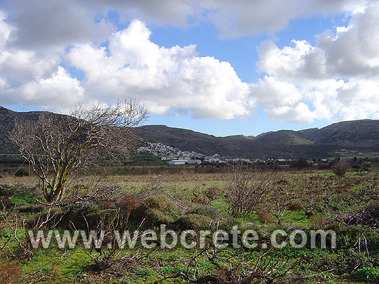
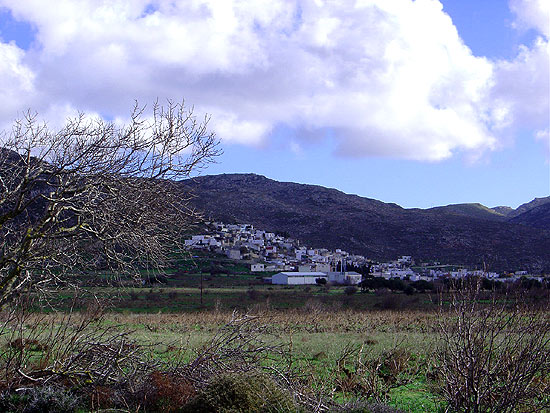
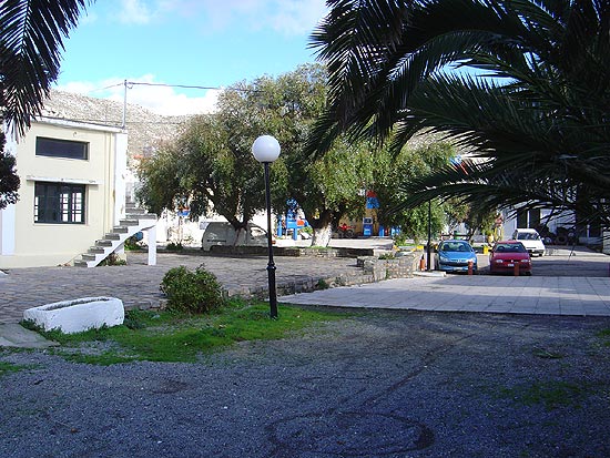
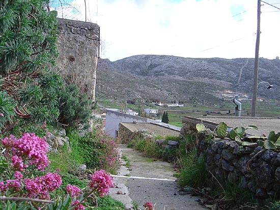
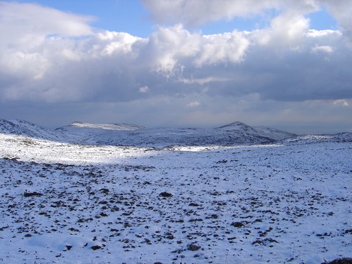
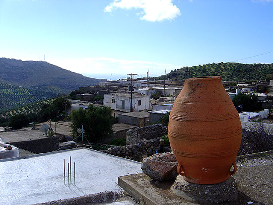
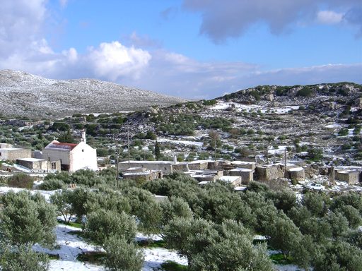
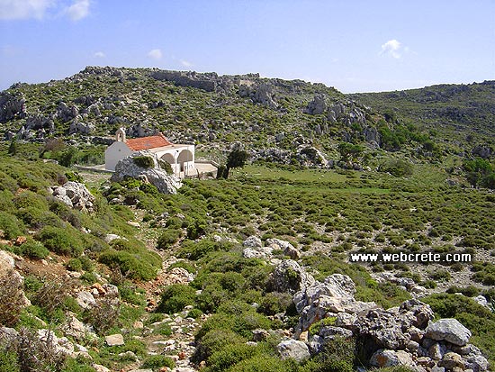
The plateau of Ziros lies 25km south of Sitia and 30 km northeast of Makris Gialos. The wider area consists of 2 plateaus, the most western plateau of Armenohandrades and the easternmost plateau of Ziros. The distance between them is only 2-3 km and so we refer to it as an area. Τhe “capital” of the area is Ziros, a traditional village with very basic services, such as gas station and bank. Ziros has faced a modest growth, a key driver of which is the military camp with the radar of the Greek Air Force, standing on a neighboring mountain.
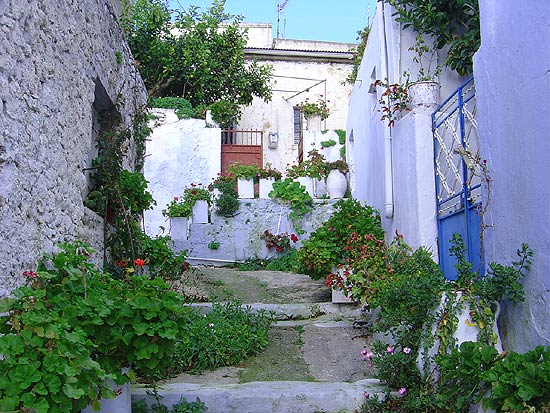
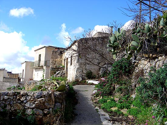
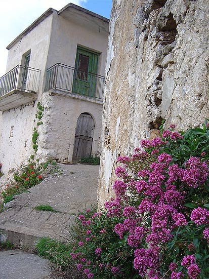
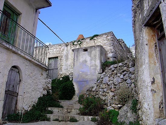
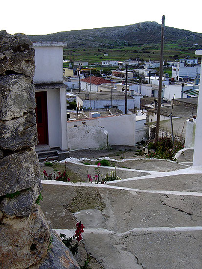
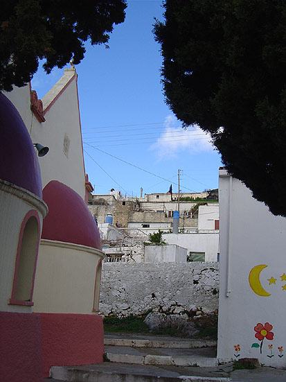
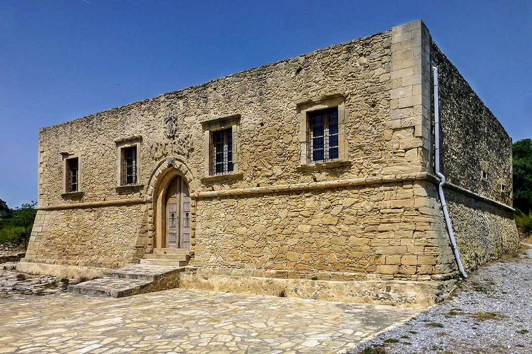
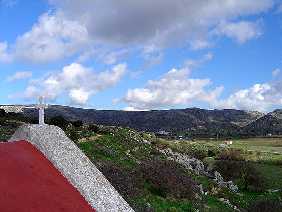 Most settlements set on the plateau of Ziros preserve excellent architectural elements from the Byzantine, Venetian and Turkish period. Scattered around the plateau these villages will soon be deserted, as young people move to the cities or abroad. The remaining inhabitants, most of which are old, maintain a lifestyle that brings back images of past times. Old men hang out in the local cafes from early in the morning till late at night, drinking their morning coffee and evening raki, watching tv or listening to the radio, talking, or just sitting in silence, gazing at the street. They narrate stories that bring images of a once-upon-a-time flourished place..
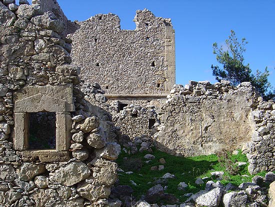
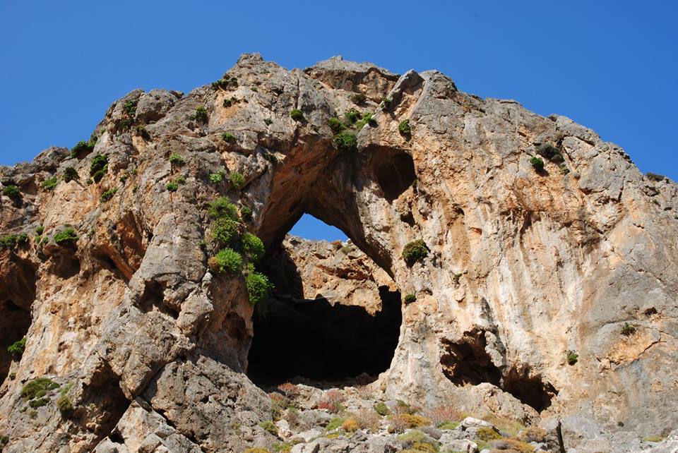
Minoan remains have been located in five sites. The lovely Byzantine frescoes in the churches of Agia Paraskevi, Agia Eirini, Aghios Georgios and -most importantly- in Agios Nikolaos, date back to the 14th – 15th century. In the church of Agia Paraskevi the bones of the brave fighters from Skalia are sheltered. South from Ziros the small village of Agia Triada (or Tso) is located, with a beautiful view of the Libyan Sea. In site of “Stalos” (an old little village) a Minoan settlement was excavated and in the site of “Livari” there is the cave of Aligaras, which was inhabited during the Minoan period. After Ziros there is the village of Apidia, divided in small districts with a beautiful view of the Libyan sea. In the devastated settlement there are excellent architectural elements from the Byzantine, the Venetian and the Turkish period.
Additional Info
Location: Sitia Region – 25 km from Sitia
Access: Aphalt road
Residents: 1208 (2012)
Αltitude: 590m
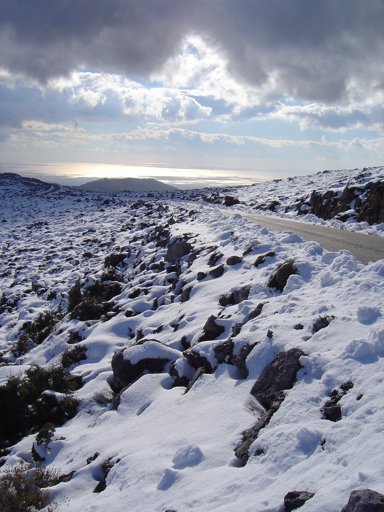
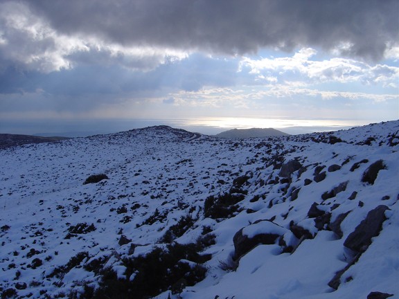
Ziros Plateau Photo Gallery
..a winding breathtaking road..
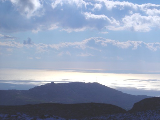
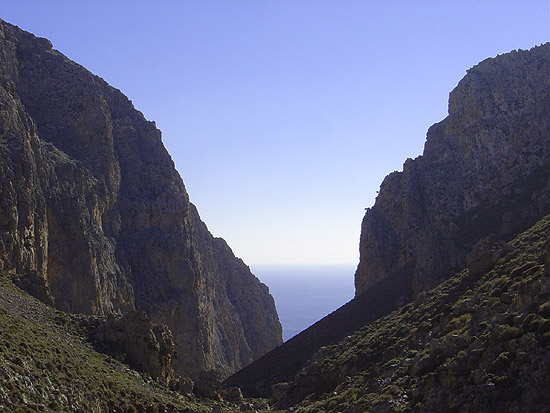
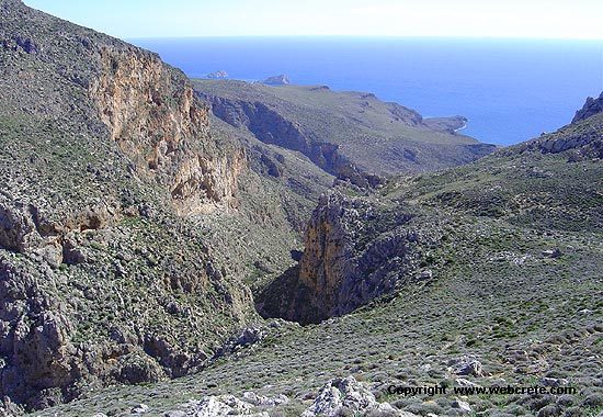
Leaving the plateau of Ziros behind the descent towards the coast starts. On the road you will enjoy a spectacular view of the Libyan sea and in about 30 minutes driving from Ziros you will arrive at the village of Xerokampos. On the way you will see the dramatic gorge of Ziros, known as the driest gorge of eastern Crete.
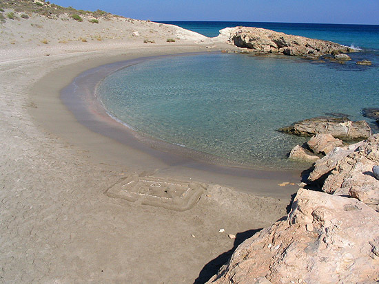
If you wish to walk through the gorge you will need approximately 2 hours. However, as you also need to walk back and there is no shade in the gorge, we suggest you leave this for another time and continue driving towards Xerokampos. After driving and sightseeing for so many hours, you will be thrilled when you see the turquoise waters of Xerokampos beaches! We suggest you spend the rest of the day here, or even stay in one of the hotels or in your tent/sleeping bag for a night (or two, or as many as you need!) enjoying the peaceful atmosphere of the place and exploring its unique beaches and biotopes.
In the village you will find several rooms to rent, mini markets and taverns. When you feel ready to go, you can either drive back to Sitia from the same road, or alternatively from the road that passes from Zakros, which is another beautiful place worth visiting. Another option is to take the road to Ierapetra from the Ziros plateau and continue exploring southern Crete. The choice is yours!
Xerokambos Beaches
This was for us love at first sight. Xerokampos in the extreme southeast of Crete and can be reached from the substantial village of Ziros or from the village of…
Agia Triada
The outermost village of the Handras-Ziros plateau. It is situated about 35 km distant from Sitia and some 8 km…
Kalo Chorio
This village belongs to the Ziros community (former municipality of Lefki) and, since it is not mentioned by the Venetians…
Etia Venetian Villa or Villa De Mezzo
Etia is a small settlement situated in the Municipality of Lefki. It's 2 kms far from the village of Papagianades…
Voila Medieval village and Tower
The village of Voila is 1km away from the village of Chandras on the Ziros-Chandras Plateau, 25 km south of…
Sitia Geopark
The Natural Park of Sitia is on the easternmost edge of Crete, in the Municipality of Sitia. It covers the…
Zakros – Ziros (E4)
One of the most spectacular hikes of eastern Crete is the route of extremely beauty between two traditional and historical…
Xerokambos – Lamnoni Gorge
One more unknown gorge of the area of Xerokambos. From the settlement of Xerokambos, on your way to Ziros’ plateau…
This Post Has 0 Comments