Agia Triada
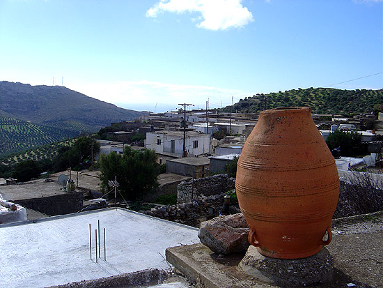
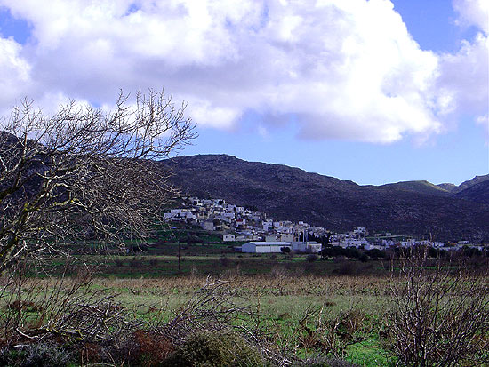
The outermost village of the Handras-Ziros plateau. It is situated about 35 km distant from Sitia and some 8 km inland from the coast of the Libyan Sea so that even though the village is not right on the coast…
Museums, Monasteries, Islands, Nature Gorges, Caves, Plateaus
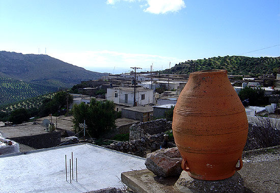
The outermost village of the Handras-Ziros plateau. It is situated about 35 km distant from Sitia and some 8 km inland from the coast of the Libyan Sea so that even though the village is not right on the coast…
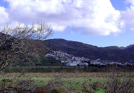
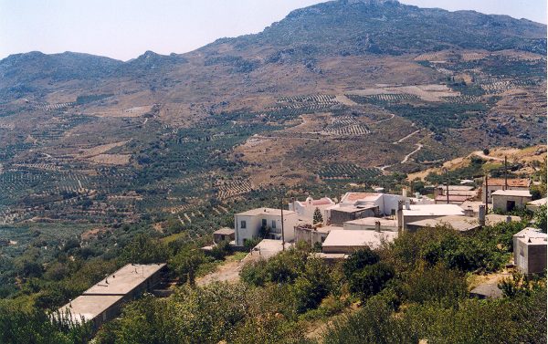
The hilly village of Ziros spreads over the lower slopes that the locals call Egremno (the Cliff) at an altitude of 590 m. at the pictureque Armeni-Handras plateau. The village is the seat of the Municipality of Lefki. It is…
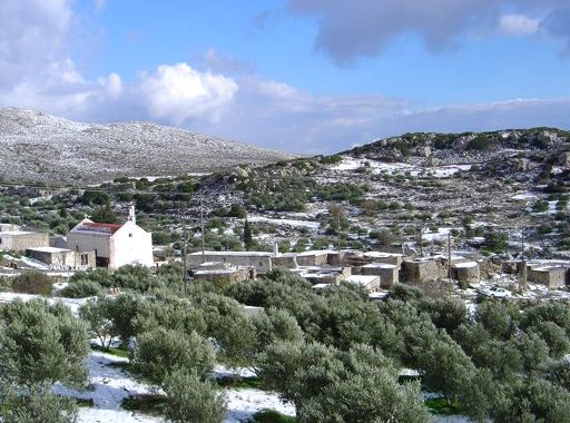
This village belongs to the Ziros community (former municipality of Lefki) and, since it is not mentioned by the Venetians in the 1583 census, it was probably founded after the 16th century. At the time of the 1881 census the…
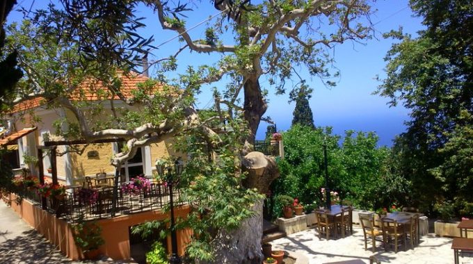
Α most graphic village with a very healthy climate and plenty of water. It is about 9 km from Sitia and reached by a road that branches off the Sitia - Palekastro road beyond the rise at Tripitos. As it…
This village, renamed in 1955, is located 14 km away from Sitia on the Sitia-Ierapetra road. To the same community belong also the hamlets of Pano Episkopi Drapani, Sotira and Vouvali. The origin of the old name is unknown. M.…
This village which has plenty of water. Is located about 2 km away from Kria and 27 from Sitia on the Stavrohori road. The name certainly comes from the plant (Dafni: laurel or bay tree). It is entered as Dafni with…
Until 1955 this village was known by its old name Roukaka, which must be of Turkish or possibly Arabic origin. It is situated on the road that runs from Sitia via Achladia to Stavrohori and is not far from this…
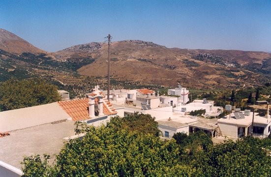
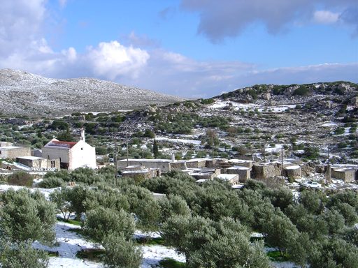
This village on the road from Piskokefalo to Stavrohori is about 25 km from Sitia (South West) . It is divided into two groups of houses called Apano Kria and Kato Kria. In the Venetian census of 1583 it was…

There are a number of possibilities for the etymology of the name. One suggestion is that it is derived from the verb "moulono": bend or stoop, indicating that the location is lowin comparison with the surrounding mountains. The second view…

This village on the main Sitia - Agios Nikolaos road is 25 kms from the former one. It used to be called Metochia tis Tourlotis (i.e. hamlets belonging to Tourloti). The name Mirsini means «myrtle» and there are indeed many…