A world-famous tourist resort north of Agios Nikolaos, with lacy, windless sandy beaches, crystal clear…
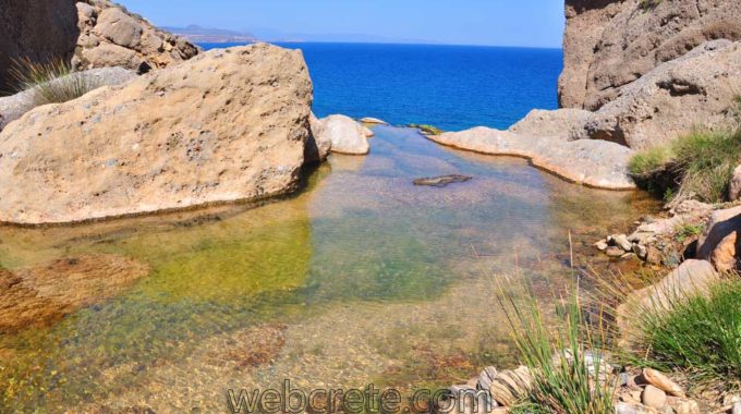
Toplou Gorge
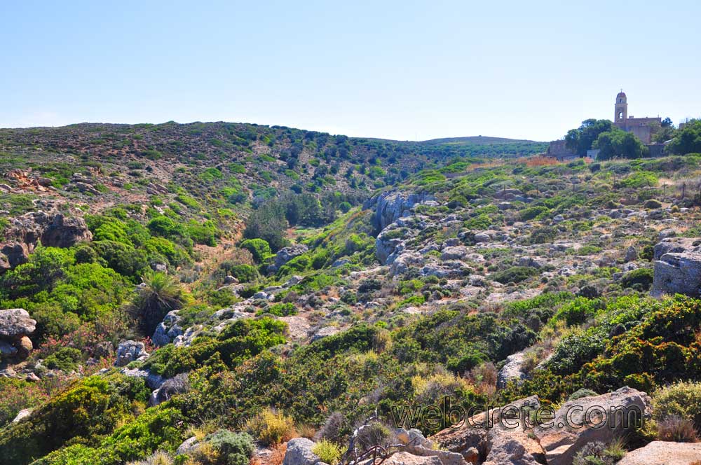
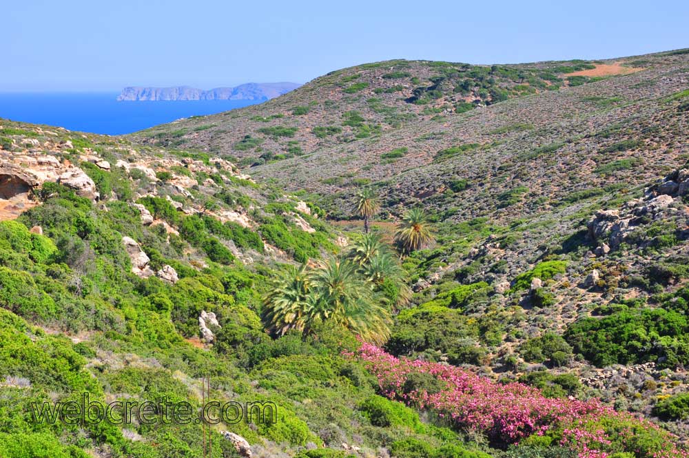
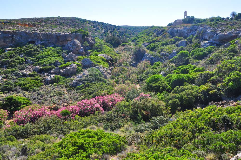
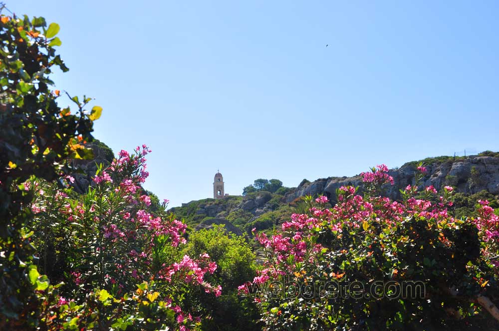
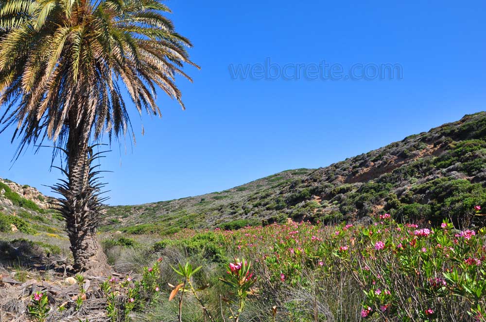
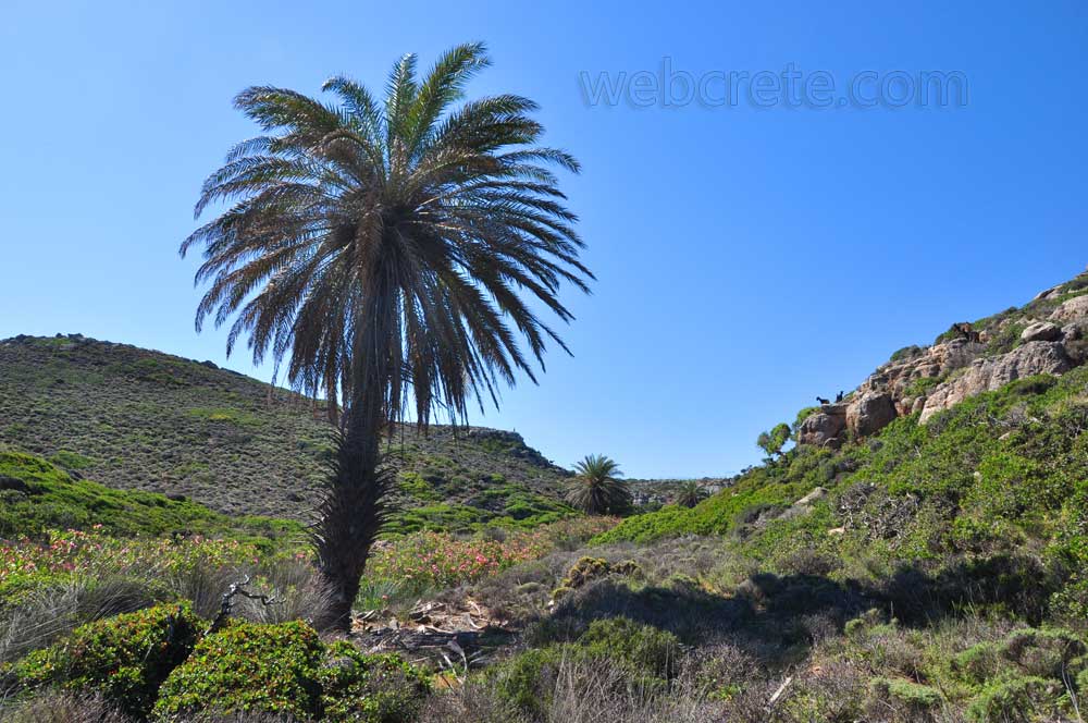
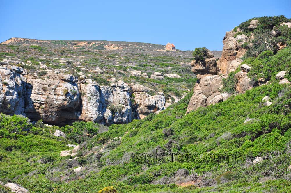
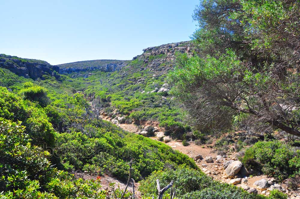
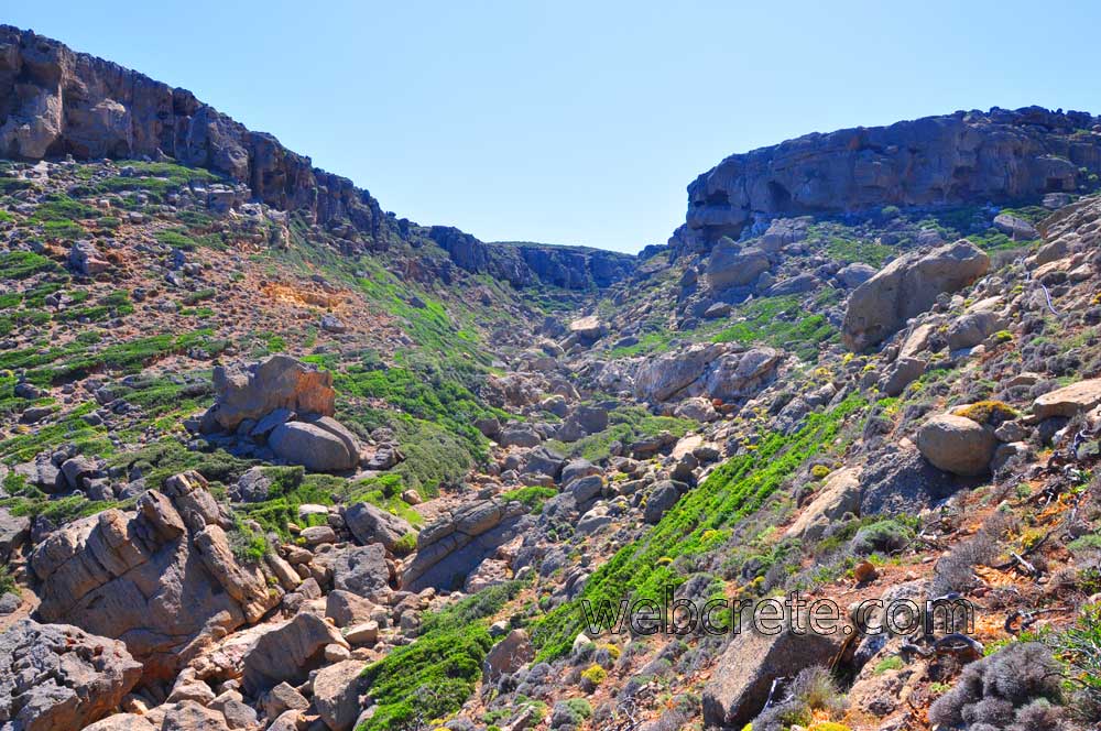
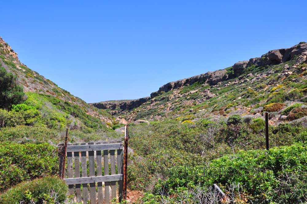
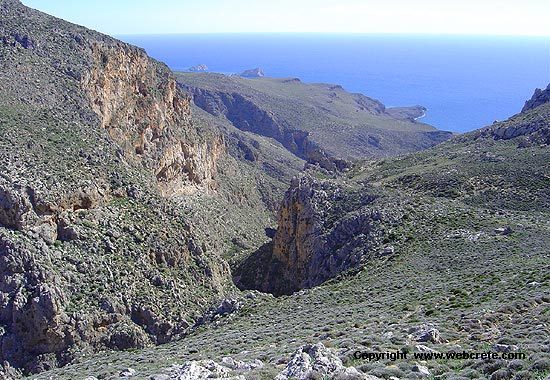
Its entrance is about 200m in the west of the Monastery of Toplou. The landscape is astonishing not only because of its flora and the existence of a cluster of the palm tree Theophrastos Phoenix theophrasti, clusters of locust Ceratonia siliqua, oleander Nerium oleander, shinos Pistacia lentiscus, oleaster Olea europea ssp silvestris, but also its fauna which due to the existence of water in many parts gives shelter to the turtle Mauremis caspica.
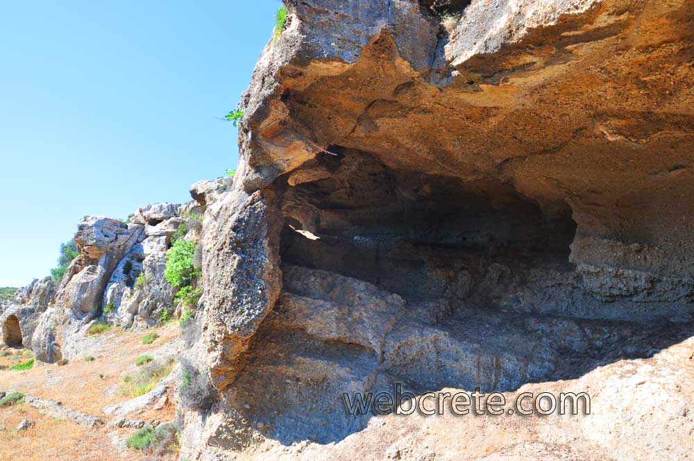
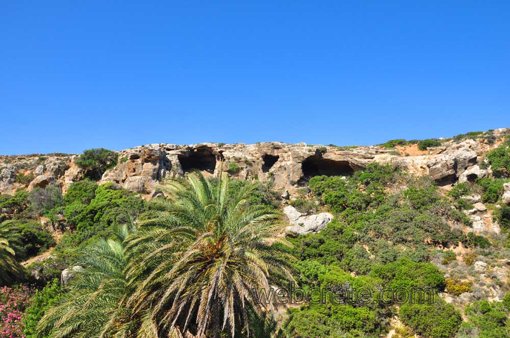
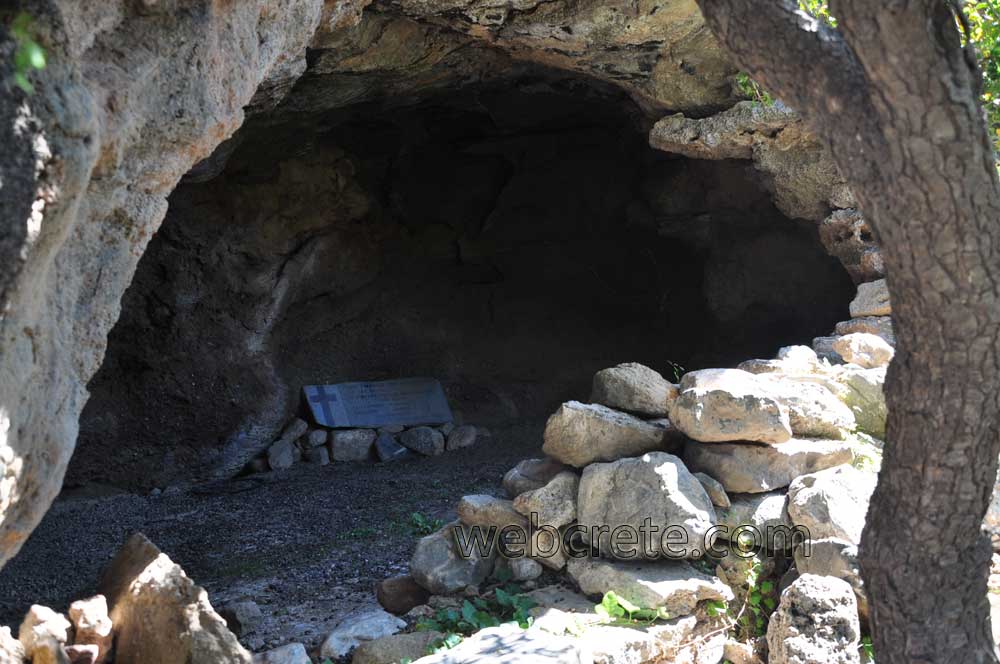
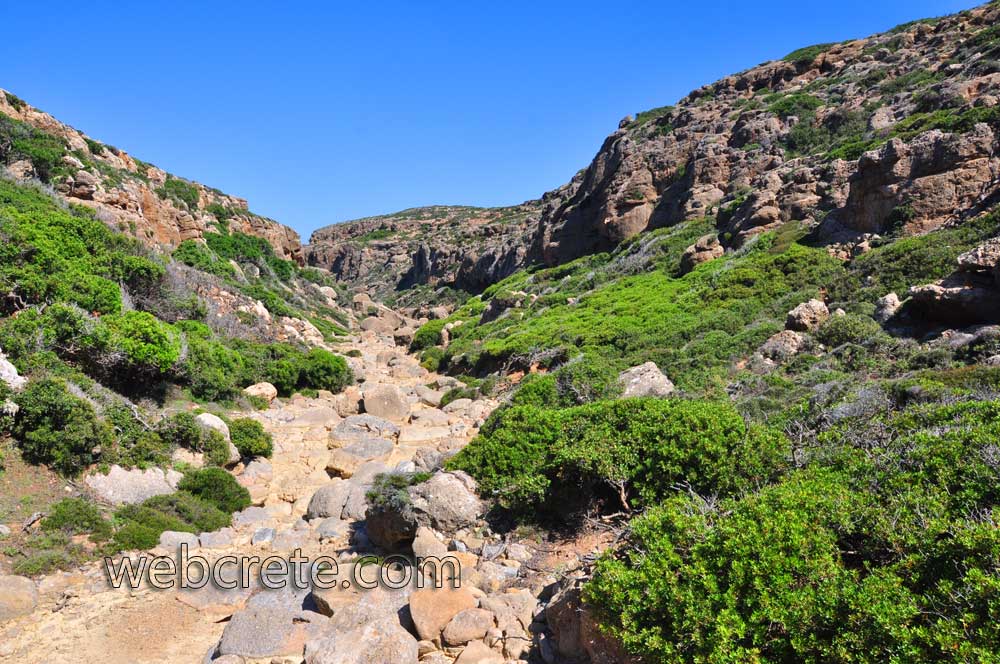
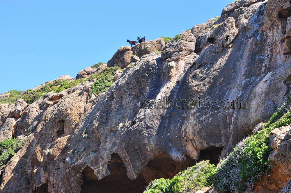
The turtle is usually found in the ponds formed within the canyon throughout the year. The geological formations in the canyon are very interesting because they are made up of steep rocks and impressive caves as well as erosional forms called “Tafoni”.
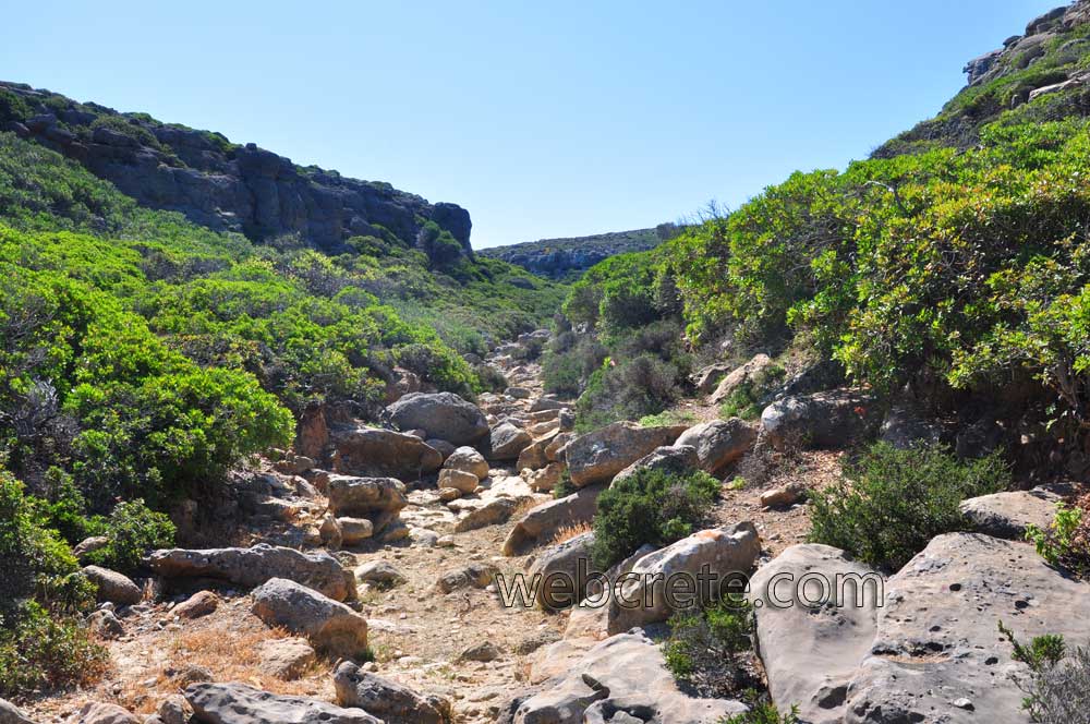
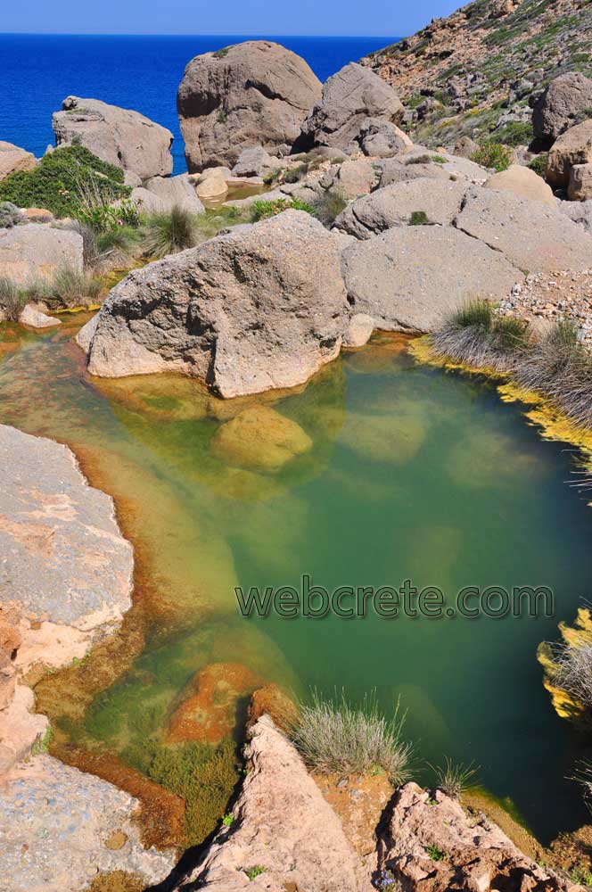
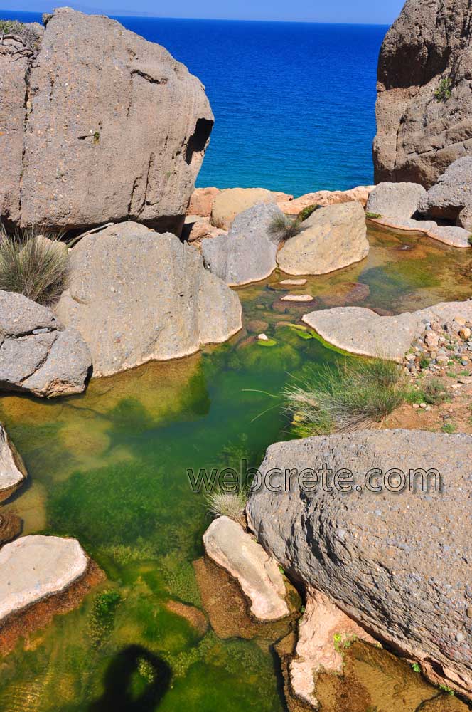
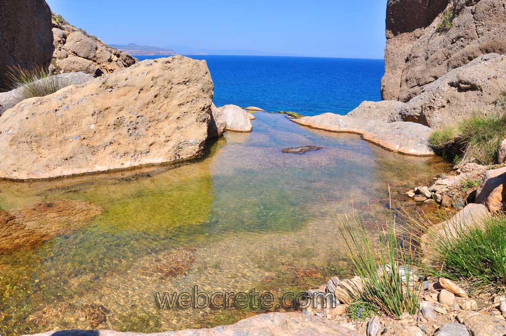
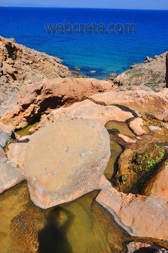
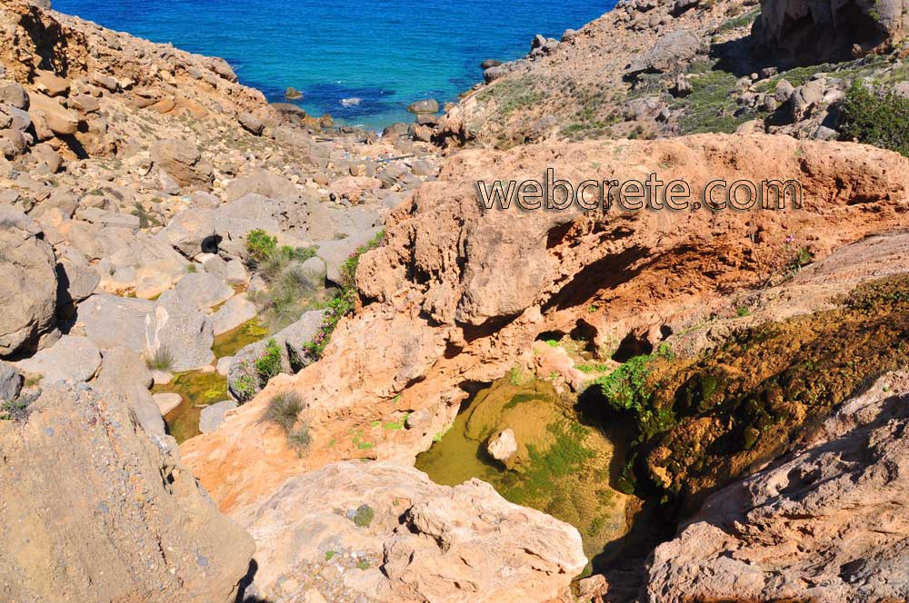
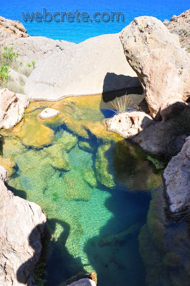
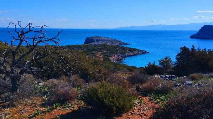
At the end of the canyon to its exit to the sea (150m before the shore) the landscape changes becoming wilder and unique for the arid environment of East Crete. Although we expect to find water only in the entrance, all of a sudden we see it again in the lakes which are formed in a climax way at the exit of the canyon. It is a rare place with aquatic vegetation, running water all year round and rare reptiles. The springs are created from the unconformable conduct of the stratigraphically overlying, water permeable Miocene rocks with the non permeable Tripolitsa flysch rocks.
The region is called Apoloustres which in the local dialect means small-sized lakes with source water animals drink water from. The journey is cyclical and the journey back goes through the smaller canyon (the west part) towards to south and later to the Monastery of Toplou.
Toplou Monastery gorge is the only gorge that hasn’t developed in alpine unit limestone; instead it is found in Miocene clastic rocks. It is beautiful throughout and worth hiking along its entirety. It is home to the Cretan Date Palm, various impressive kinds of local flora, tafoni formations and springs.
Additional Info
Altitude: 150m – 30m
Starting point: Toplou Monastery
Best for hiking: February – May
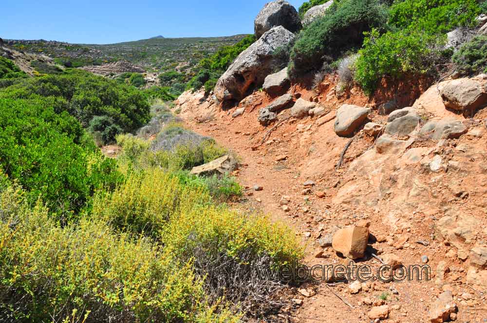
Path Type: Not Marked path – Walking mainly in riverbed
Difficulty: Moderate
Walk distance: 4,1km (East Gorge to the pools and West gorge for return)
Walk time: 2,5 – 3 hours (East Gorge to the pools and West gorge for return)
Tafoni formations
Toplou gorge considered one of the most significant georoutes of the area due to the exceptional geosites that it includes. It is home to the Cretan Date Palm, various impressive kinds of local flora, tafoni formations and springs.
Tafoni are impressive landforms caused by erosion, created in conglomerates and sandstone of the Miocene by wind and coastal humidity, which destroy the connecting materials in the rocks, creating cavities of various dimensions and shapes. The landforms appear on the slopes of the canyon of Toplou Monastery and throughout its length. The most impressive and directly accessible landforms however, are at the entrance to the canyon, which can be found following the narrow footpath.
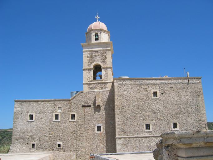
Toplou Monastery, Sitia
Toplou Monastery (Greek: Μονή Τοπλού) is a 15th-century monastery located in a dry and barren area in the Lasithi regional unit, on the eastern part of the island of Crete…
Palekastro
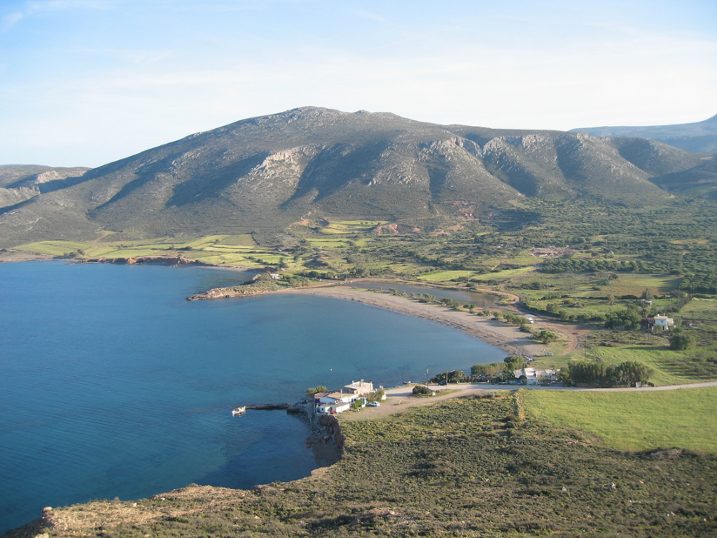
The village of Palekastro is situated in the most eastern corner of the island. This unsophisticated, rural, Cretan village of 1300 inhabitants, has been relatively unaffected by the inroads of…
The gorge is unfortunately inaccessible.