A world-famous tourist resort north of Agios Nikolaos, with lacy, windless sandy beaches, crystal clear…
Pelekita Cave
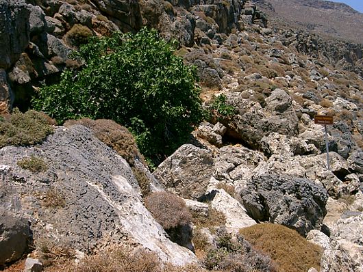
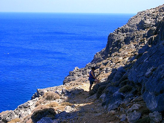
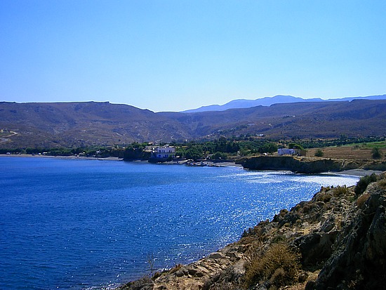
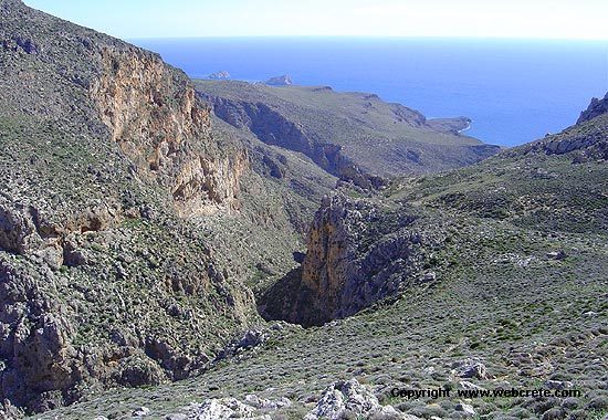
Located north east of the small coastal village of Kato Zakros, between Karoumes and Kato Zakros beach. The cave can be reached by walking one hour from Kato Zakros, or from the beach of the village by using mechanized boats and then making an ascent. The height at the entrance is 105m. The whole area is commonly known as Pelekita, which name is derived from the quarry, which is below the cave, close to the sea, from which stones have been extracted. The other name “Sykias Spilios” was given to the cave because of the location of a large fig tree at the entrance. Under the cave one can see the sea as if viewing it from a plane.
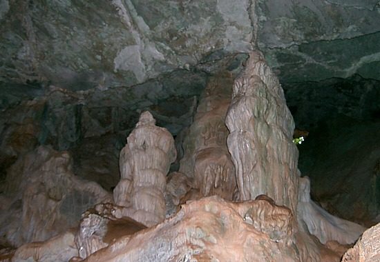
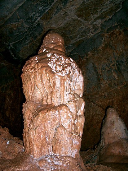
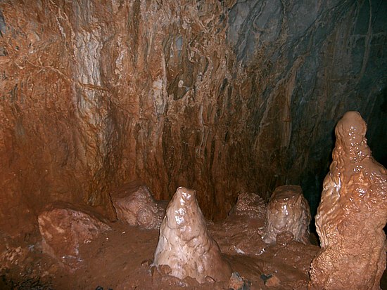
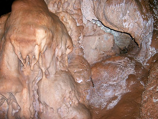
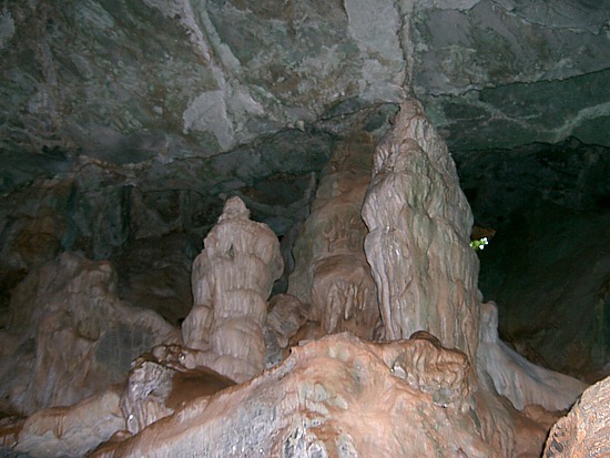
You will see wonderful shapes of stalactites along the path in the cave. Here you need to pay attention, because there are some difficult places to pass until you reach the end!
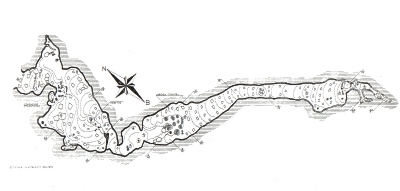
Corridors of a total length of 700 m approximately can be exploited. The cave takes up an area of 500 square metres approx. but if its inclinations are taken into account, the area is much more bigger. The first time it was roughly mapped and studied was by El. Platakis on 11th August 1963. A full mapping of the cave was conducted end of November 1969by members of the Greek Speleological Society led by I. Ioannou.
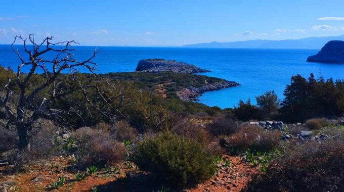
The fig tree at the entrance of the cave, is a prominent point of the cave. We suggest you should have two penlights in case that one of them get damaged. The route from Kato Zakros to the cave has a fantastic view to the sea.
Pelekita ancient quarry
Approximately 600m to north, along the path leading from Kato Zakros to Karoumes beach, is located the ancient quarry by the same name. We find it amidst compacted Pleistocene aeolianite sandstone, which were easily excavated as they are soft rocks due to their many pores. On the rocks in the area there are several traces of the excavation activity that took place in the past.
Additional Info
Location: 1 h & 20 min walking from Kato Zakros
Access: 4 km by path
Facilities: Not organized
Αltitude: 105m – Lenght: 310m
From Pelekita cave, the path which becomes hard to discern, descends for about 500 m, to the ancient quarry .
From the quarry and on, where the indistinct path continues along the coast at a higher level, it passes by the mouth of the Adiavato cave and then climbs up to the top of a steep slope.
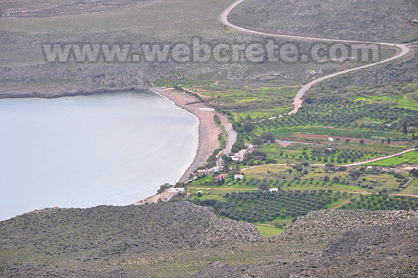
From this point, you follow the same contour for about 600 m; the entire bay of Karoumes, with the beach at the end of the gorge of Chochlakies lies before you, to the north. You arrive there, passing by a smaller beach and having bypassed the rocky southern slope of the Karoumes main beach.
Other things to do in the area..
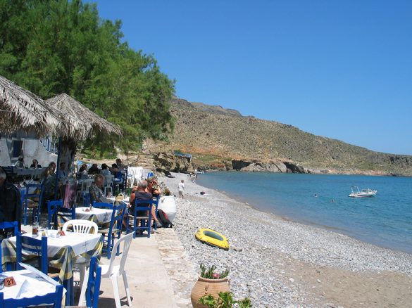
Kato Zakros Beach
The settlement of Kato Zakros, only 8 km away from Pano (upper) Zakros, 25 from Palekastro and 44 from Sitia is an impressive small fishing village, hidden away in the…
Kato Zakros – Skopeli – Pelekita
The route begins near the entrance of the gorge of Kato Zakros. There is a relative sign, which will lead you to the direction. This first part of Kato Zakros -…

This Post Has 0 Comments