A world-famous tourist resort north of Agios Nikolaos, with lacy, windless sandy beaches, crystal clear…
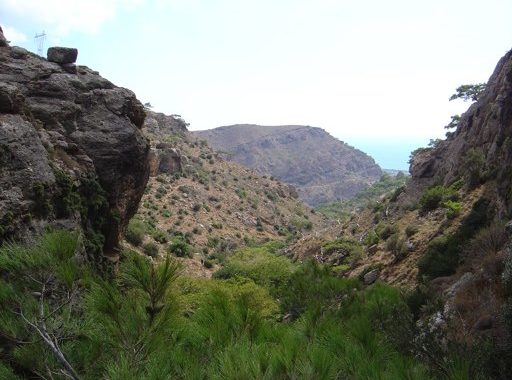
Pefki Gorge
During summer, on a daily basis, cars occupied by Greek and overseas tourists arrive at Pefki village, where they walk through the alleys by taking photos of village and the surrounding area. Every visitor expresses their admiration to the locals for the beauty of the village, and then leave the place by walking through the path west of the village to Analypsis (village which nowadays is joined with the Municipality of Makry Gialos after the rapid growth of the second. ).
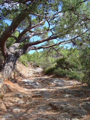
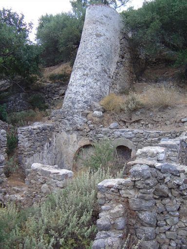
Walkers on their way to Analypsis, enjoy the natural beauties of the place, the sun, fresh and full of aroma air of countryside, the mountains and the sea. Beginning from the village, they pass through the olive groves and they pass from the abandoned ‘Ilias’ watermill’ as it is known today. Historic reports referring watermill as abandoned since the years of Saracen Arabs up to the years of sovereignty of Turks, where a chased man from Messara, whose surname was Lantzanis, rebuilt the watermill. The mill in its history was operated by various owners until 1915, with the last owner to be Ilias N. Kanabakis. Apart from grinding cereals Ilias used the mill to process olives in an olive press that he had made for olive oil production. Around 1925 watermill once again was abandoned as the waterflow for the operation of the mill was not enough.
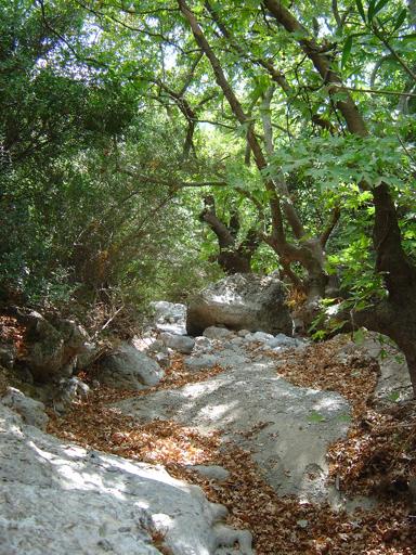
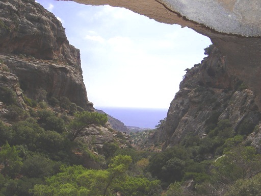
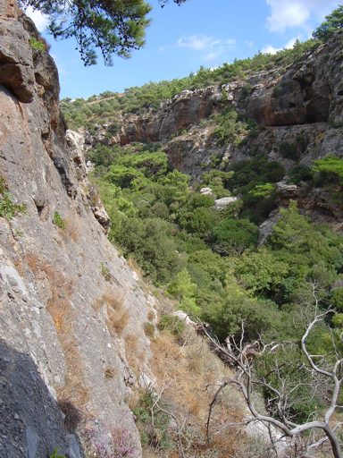
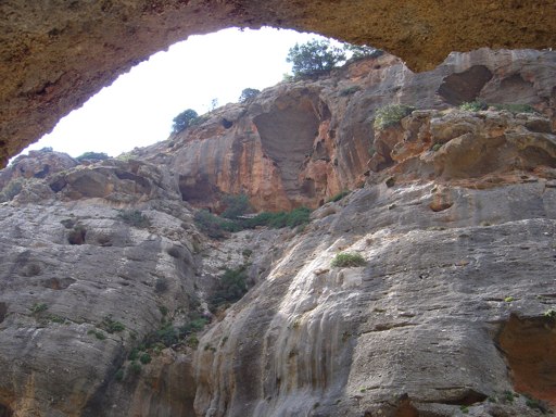
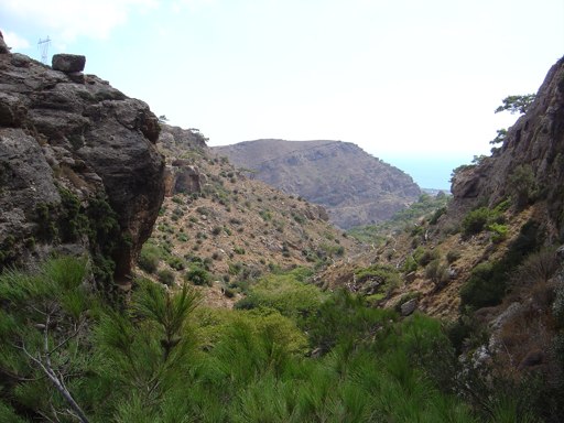
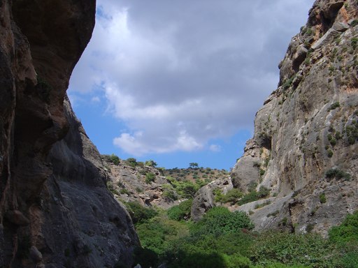
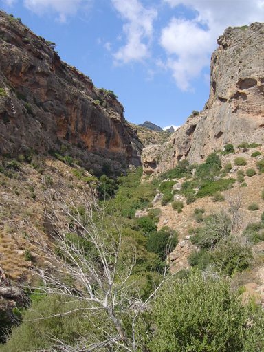
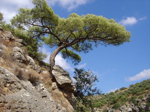
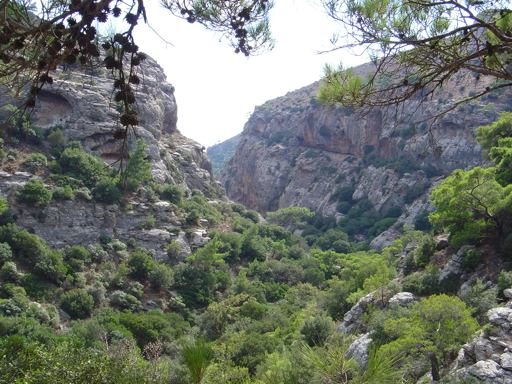
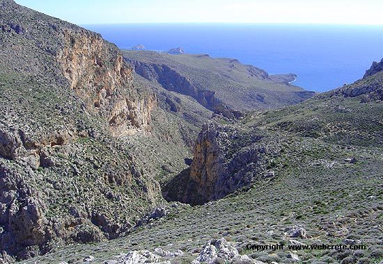
After the watermill, follows the attractive and scenery Gorge of Pefki. Its length is about 1000 m, width is an average of 90 m and depth from 10 to 120 m. It is full of pines, platens, locusts, hollies and other forestall plants
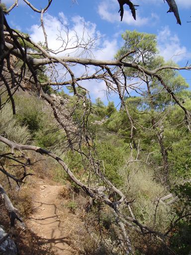
At the exit to the south, walkers can taste drinkable spring water. Its fauna during the past was very rich but today only a few is remaining due to continuous deterioration from locals and foreigners. The photographing can become from everywhere with different background each time. Nowadays a pathway has been opened that leads from the gorge entrance to the exit.
Next to the exit of Gorge follows the area known as Megali Lagada (big valley) of ‘Pisokamino’. The slopes are covered mainly by pines and various trees. Continuing on the pathway is an area called ‘Volakas tou Sarakinou’ about 500 metres north of the settlement ‘Aspros Potamos’ (White River). History of ‘Volakas tou Sarakinou’ says that when Saracens invaded in Crete, the locals found a Saracen hiding under a big rock and killed him. From that time this rock was named ‘Volakas tou Sarakinou’. This rock’s top surface is a bit level with a small inclination where there are many stones of a size of an egg. These have become object of observation and query of foreigner passerby, how the stones are placed there and how they remain on the rock. Locals relate this to the difficulties of poor people due to the wars, the raids and other conditions of earlier years. Starvation was their main problem and when hungry children were passing by the rock, were throwing stones to the top of the rock. If the stones remained on top and not rolled down, kids were leaving from the place, with the impression that when they arrive at their homes they will find to eat plenty of food. The opposite would happen if the stone rolled down. Therefore it is believed that the remaining stones on the rock were thrown by the kids.
After that big rock, the pathway connects to the main road, and after the valley of Pisokamino, reaches the attractive settlement of Aspros Potamos (White River).
The same road leads to Analypsis and Makri Gialos, the best tourist place of southern Prefecture of Lasithi.
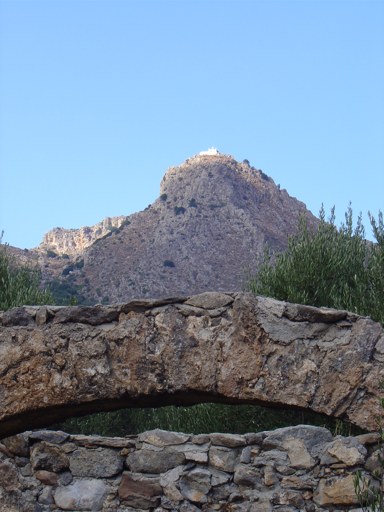
Midways of turnpike road to Analypsis, the tourists can visit the small church of formerly Abbey of Saint George of Samakidi that built by the todays honoured Saint, ‘Iosif (Josef) Samakidis’ or ‘Samakos’.
The church is located on a big slope that is covered by pines with other trees. The south of that slope meets with the “Katsoulis’ Gorge” which also has its own beauty.
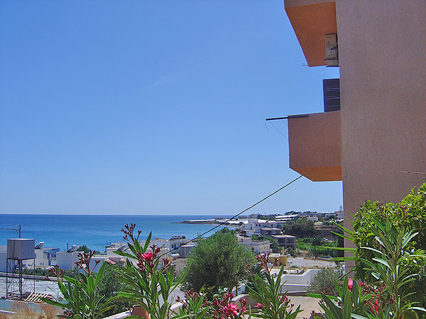
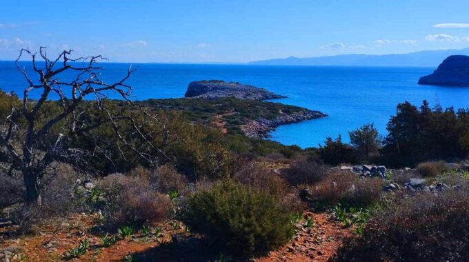
During that route walkers have the chance to see the beautiful landscape view to meet the endless blue sea of Libykon.
Source: “Pefki” Place and History “, Georgios Th. Kanavaki (Kanavogiorgi), Pefki Community
More to see by Pefki..
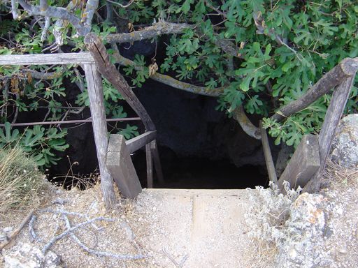
Vreiko Cave
The cave of Vreiko is located about 2km north-east of the village of Pefki, Makrigialos. It is a cave and gulch and the known depth is 25-30 metres. The Entrance…
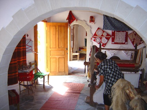
Folklore Museum of Pefki
At the highest place of the village, next to the old school (which is not active any more) in a wonderfully kept building logdes the folklore museum of Pefki. It…
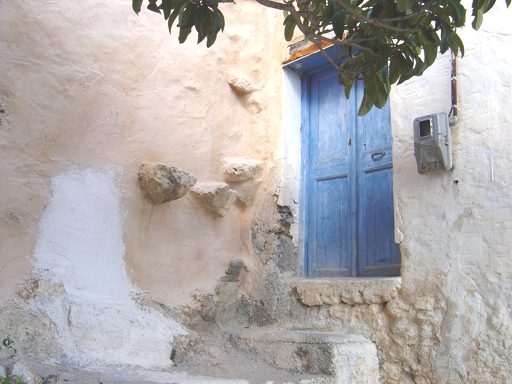
Pefki Village
This village (420m altitude) is 36 km from Sitia and 30 from Ierapetra, situated on a small road which runs from Agios Stefanos to Stavrohori; it can also be reached…
Additional Info
Altitude: 420m – 30m
Starting point: Pefki Village
Path Type: Good Marked path (5km)
Difficulty: Easy
Walk distance: 5km (Pefki village-Makrigialos)
This Post Has 0 Comments