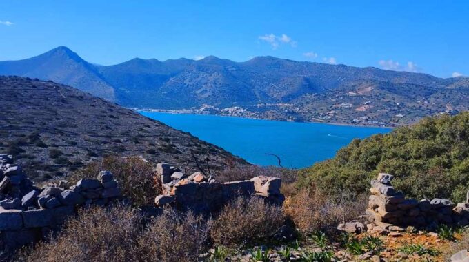
We leave our vehicle at the parking lot next to the Venetian windmills and near…
Monokara Plateau to Askordalia peak 1236m
The small plateau of Monokara is located on Mount Ornos, at an altitude of approximately 750m and with a distance of 37km far from Sitia and 48km from Agios Nikolaos. Access is from two sides, from the villages of Tourloti and Sfaka.
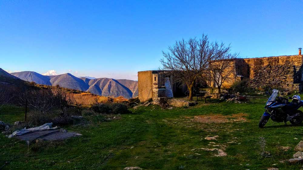
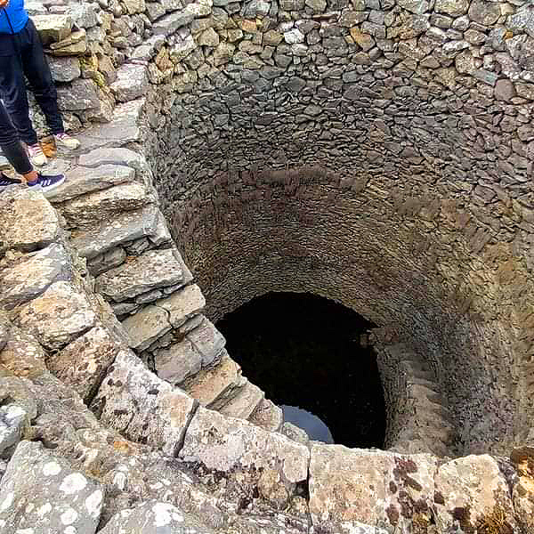
On the plateau there is the picturesque church of the Holy Cross and many ‘magatzedes;, that is, small houses by those who are engaged in small-scale cultivation of vineyards, apple trees, pear trees and walnut trees and live there during the summer months. The small, narrow plateau remains lush green, although it has lost some of its freshness after the heat of summer. It is covered with vineyards, apple trees, pear trees and walnut trees (possibly from the walnut trees that its name comes). Particularly impressive are 4-5 large wells, built of stone with sturdy steps that lead to the bottom, an excellent example of traditional architecture that has stood the test of time.
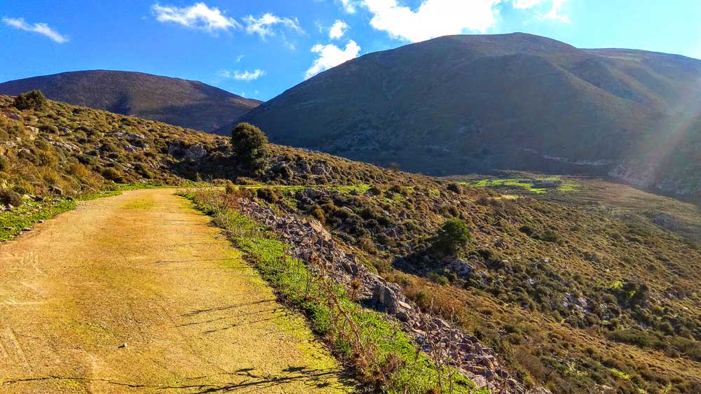
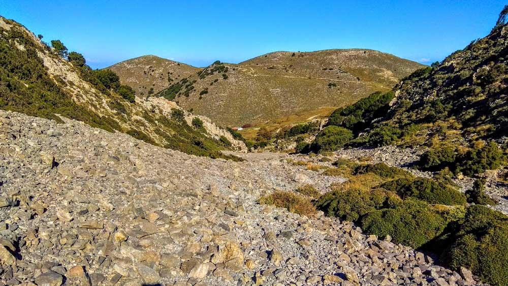
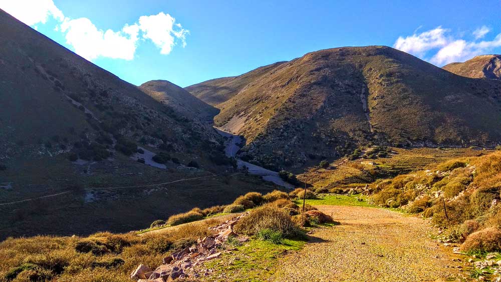
We begin the route with a free ascent (without a distinct path) following a steep uphill slope, on a ‘slope/sara’ next to a sheepfold with a house next to it, from the point we see on our map. The climb is difficult and strenuous, as we walk on the steep slope that is covered with gray stones that slip under our feet. We continue to climb between the mountains, until we see the settlement of Bebonas opposite. Just before this point of the escarpment, we turn right, that is, west, and continue climbing. There is a path that is a little indistinct, but even without it we will not encounter any difficulty since the vegetation is low and the goal is the mountain right in front of us.
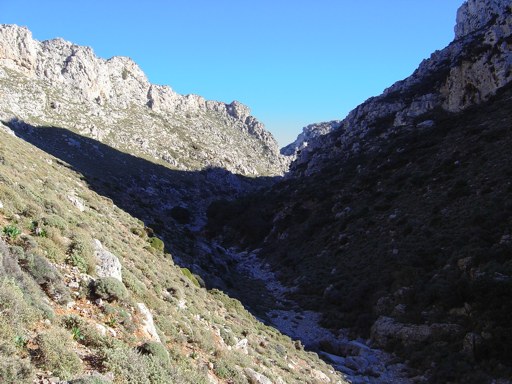
We are surrounded by wild, treeless mountains, full of rooted rocks, stones and bushes dried up by the summer heat. However, a little higher up the first wildflowers pop up from between the stones. Even in the ‘halasa’ (small and large stones in the riverbed of an uphill ravine) we admire the colchicums and small white crocuses, while higher up there are yellow and purple ones (endemic species crocus oreocreticous).
After we pass the first peak, our final goal is visible to the west and this time the path we will walk is also visible.
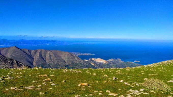
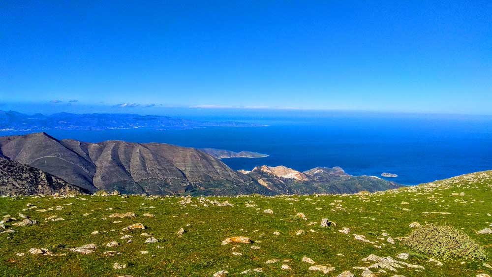
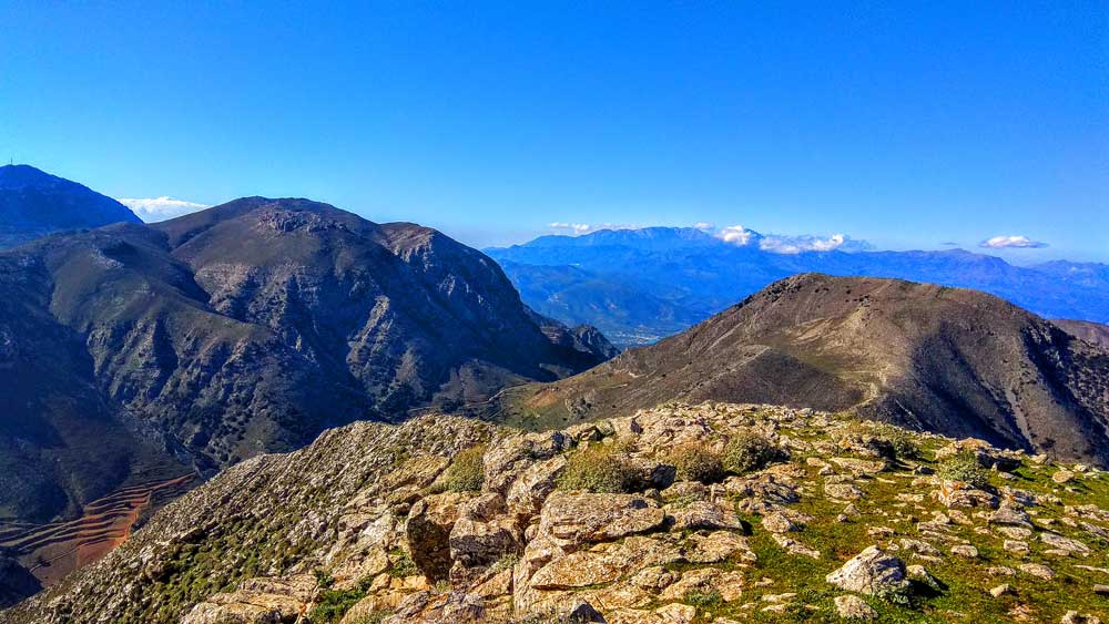
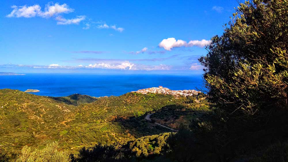
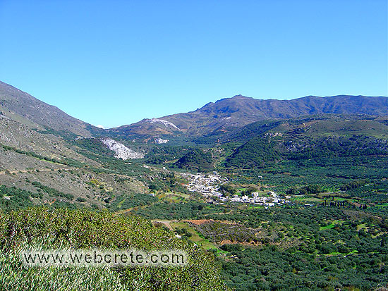
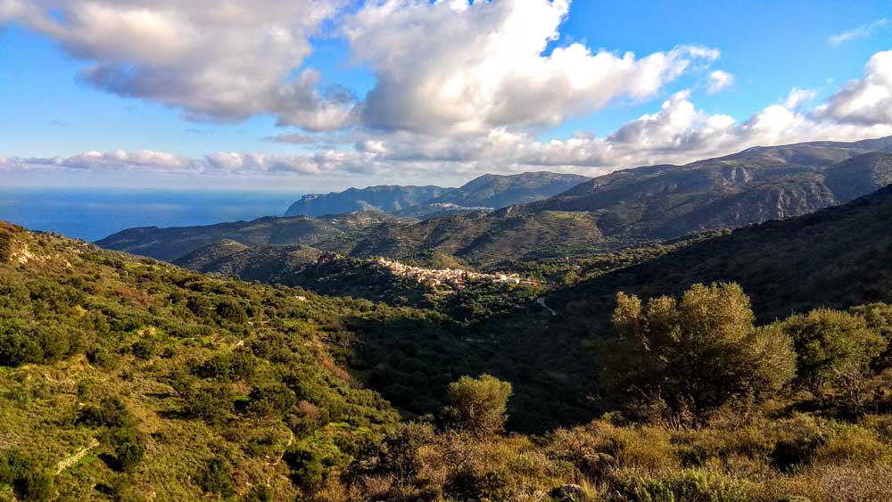
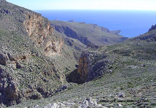
We descend a little in altitude towards the 2nd saddle and from there towards the peak that rises imposingly in front of us. We climb the rocky mountainside and end up at the broad peak, which offers an unobstructed view of both seas of Crete. To the south we see Koutsouras area with the plain from the greenhouses to Goudouras and Makrys Gialos, while in the foreground Trouloti and Sfaka villages stand out. The mountain range of Thripti dominates the SouthWest and to the north we can see the Gulf of Merambello up to the wind turbines at the cape of Agios Giannis. We stay for about 20 min at the top to enjoy the wonderful view and relax, enjoying the imposing environment… Our attention is drawn to abandoned iron on the top, probably equipment for a new wind turbine installation, which was canceled as unprofitable.
The wells of Monokara…
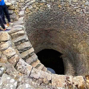 In Monokara, one will also come across the famous wells, which are considered impeccable as architectural buildings. They were used for watering goats and sheep but also for the irrigation needs of vineyards, apple trees, pear trees, walnut trees, etc. No one knows exactly when they were built. It is possible to understand how much effort and how much insight they needed, given the times, to reach this perfect result.
One does not need to be particularly wise and forward-thinking to understand the importance and value of the precaution that the people of that time gave. They had something similar in mind with the construction of sarnitsia* (rainwater storage space) inside their houses where they stored rainwater for their daily needs.
In our days where water scarcity tends to develop into a nightmare, let’s learn a little from their wisdom! They knew something more!
*Sarnitsia: These are water tanks that were built mainly inside houses by digging wells in the ground and building their surface with stone (later with cement) so that rainwater would enter from the sides through a watercourse and be stored to cover the needs of animals and people of that time!
Additional Info
Starting Point: Monokara Plateau – 36km from Sitia
Altitude: 755m (Monokara) – 1236m (Askordalia Peak)
Path Type: 60% on path and 40% without path
Difficulty: Relatively easy
Walk distance (one way): 5,5 kms : 2,5-3 hours
This Post Has 0 Comments