We leave our vehicle at the parking lot next to the Venetian windmills and near…
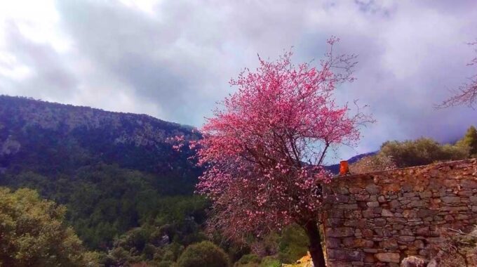
Hiking from Mino Plateau to Selakano
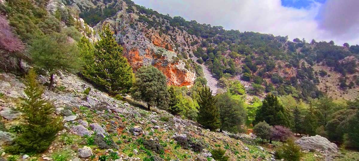
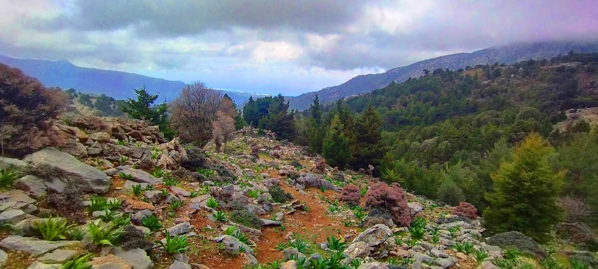
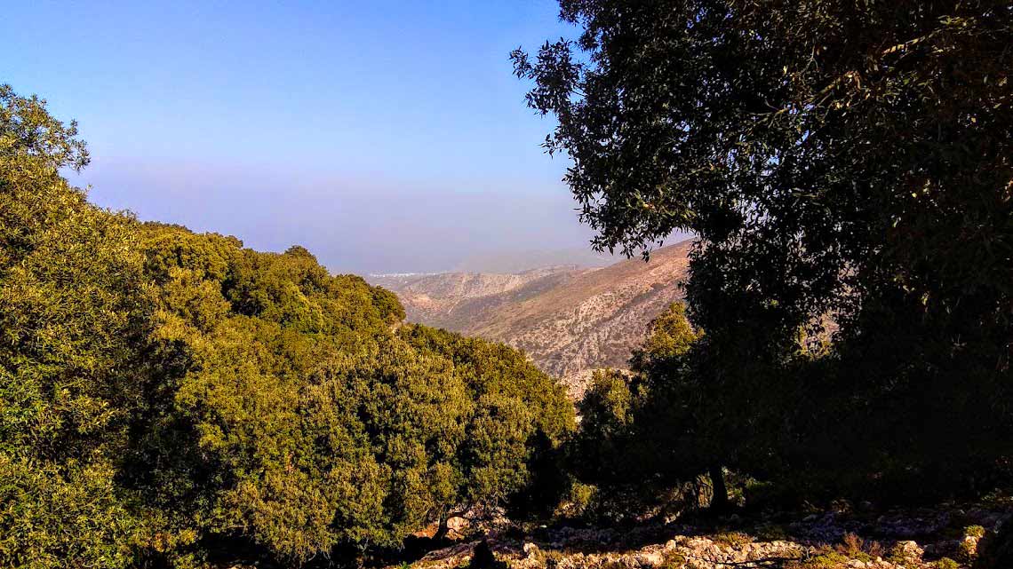
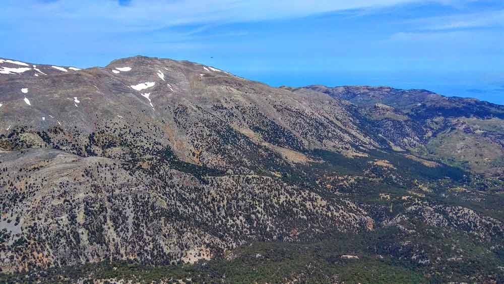
A wonderful, unknown and hidden plateau in the eastern Lasithi mountains. It borders the Selakano valley to the north and is separated by the Zonari stream, and to the southwest we have the Lapathos plateau. The area is particularly impressive due to the dense pine forest that surrounds the plateau and the entire route that we need to travel to reach this amazing natural landscape. The altitude of the plateau ranges from 920-980m and access by vehicle is via the settlements of Riza – Karydi. From Karydi the road is a passable dirt road but care is needed in some places, especially after rainfall, as on all forest roads at such an altitude.
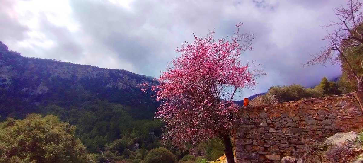
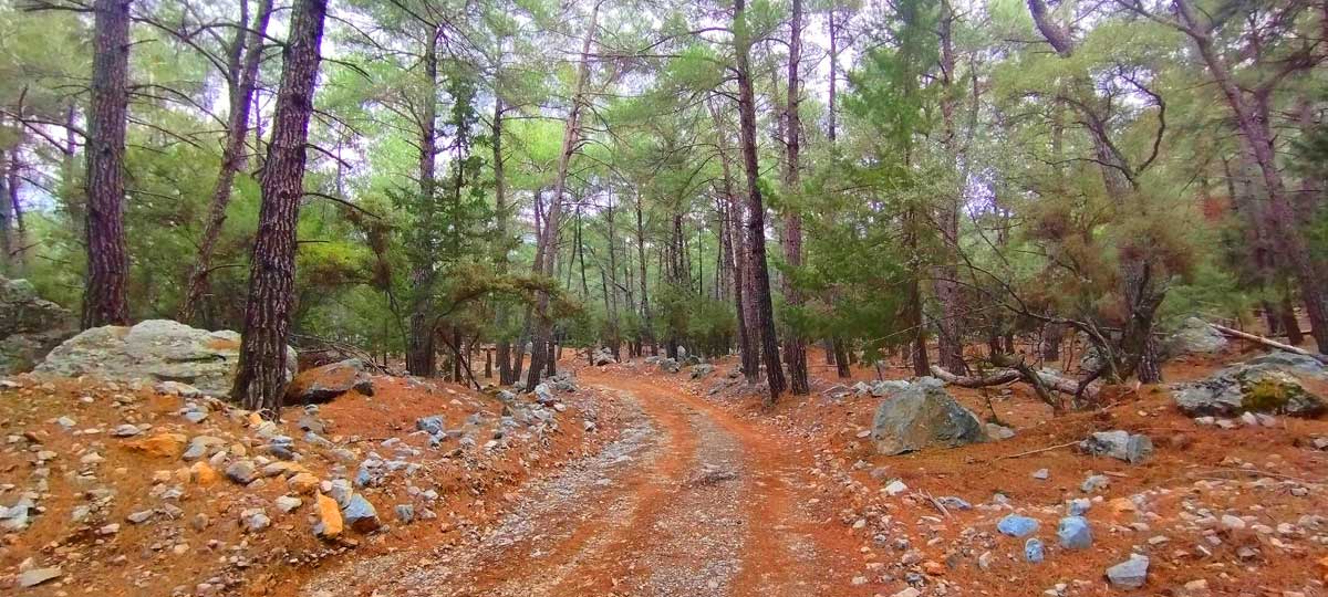
We left our vehicle 2km after Karydi, on the Karydi – Minos – Metaxochori intersection and began the gentle climb by road, through the dense pine forest to this small plateau. After 3.5km of amazing journey through the forest, we reached the abandoned settlement. When we see the first cottages, we are encouraged. A feast of colors surrounds us. The green of the pines and cypresses here turns into the various autumn colors. Special mention should be made of the pear trees, in many of which we find all three colors: green, yellow and red on the same tree. On their highest branches hang the scarlet pears. Very tasty, although so different from the usual flavors. At the village fountain with its gurgling cold water, we stop for a short break.
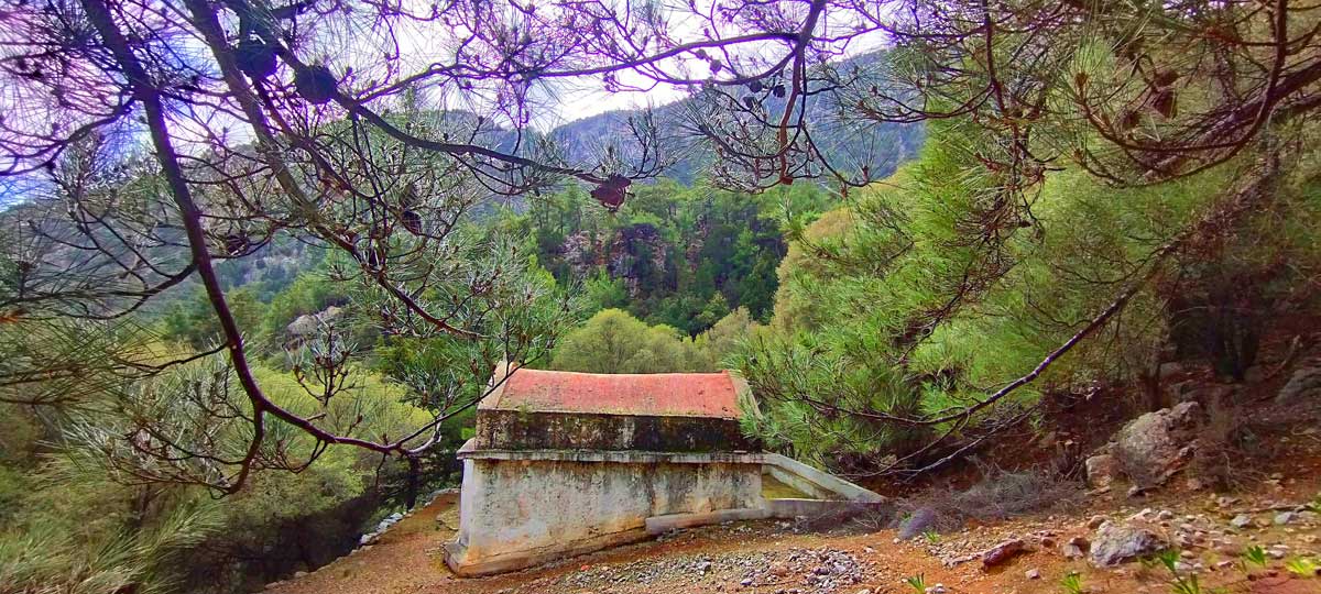
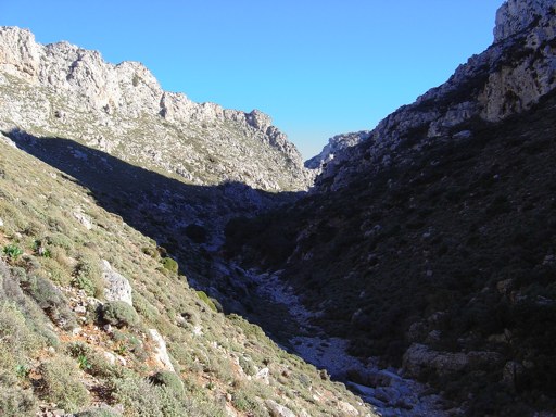
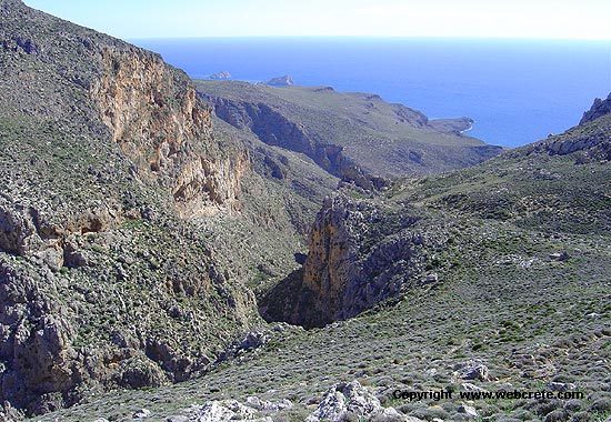
At the top of the village and just before the road ends, we turn right (north) onto a secondary dirt road which also stops a little further down. From there, our route continues downhill and now on a path towards the Zonari ravine (approximately 25 minutes of walking – we descend approximately 150m of altitude difference) where we will meet the dirt road that comes from the Selakanos forest. From that point, we continue to descend always on a dirt road, passing by the chapel of Agia Marina
From Agia Marina to where we left our vehicle is only 1.2km and thus our circular route is complete.
Additional Info
Altitude: Lowest point : 670m (Dirt road) – Highest point: 980m Mino Plateau
Starting Point: Dirt road (between Karydi and Metaxochori villages – 2km after Karydi)
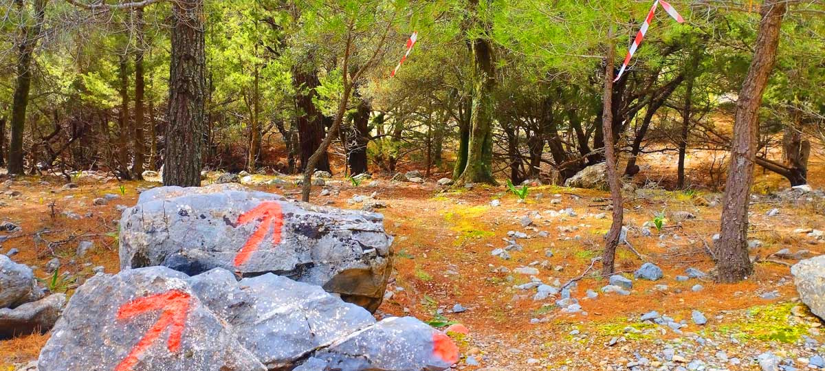
Path Type: At the beginning (3,8km) dirt road – After on mountain path – marks on trees. The last 2,8km on dirt road again
Difficulty: Easy
Walk distance: 8,1 km : 3 – 3,5 hours
Sitia Geopark
The Natural Park of Sitia is on the easternmost edge of Crete, in the Municipality of Sitia. It covers the…


This Post Has 0 Comments