We leave our vehicle at the parking lot next to the Venetian windmills and near…
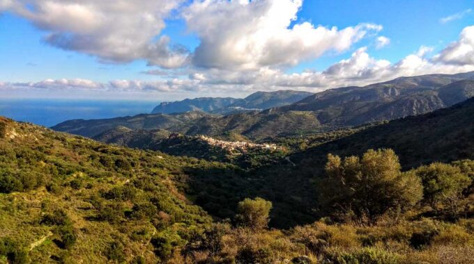
Lastros Village to Bebonas
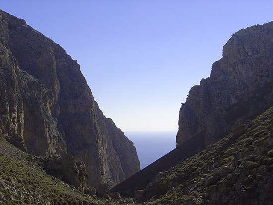
An unknown but beautiful route through the western mountains of Sitia and the wider area of Lastros village. The route starts above the main road where a cement/dirt road winds through the vegetation which we follow for approximately 1-1.2 km.
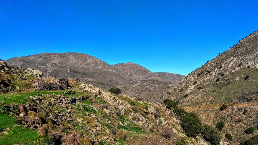
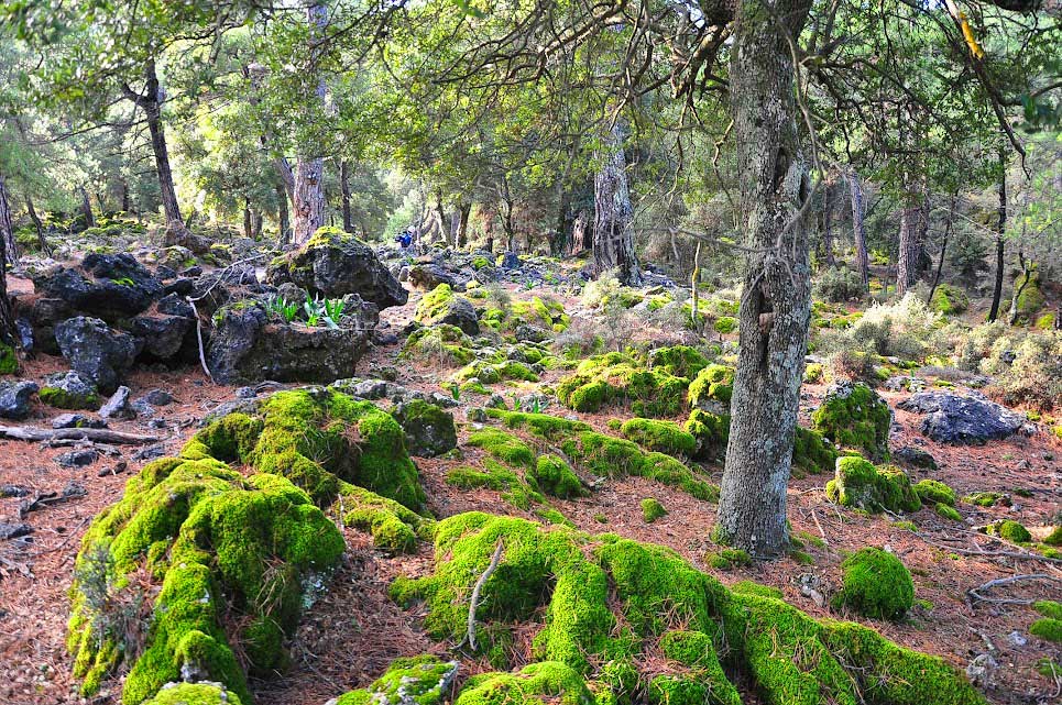
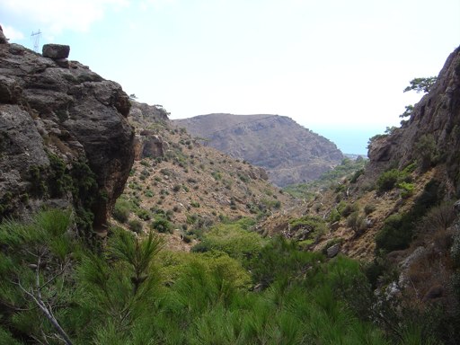
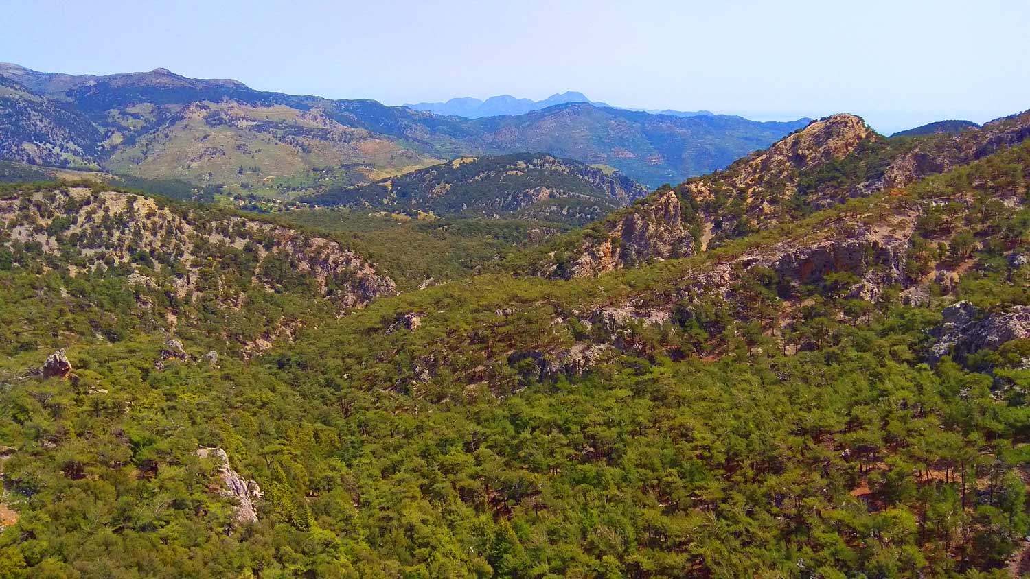
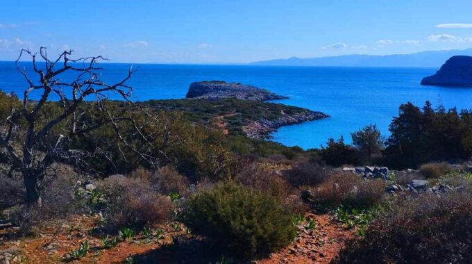
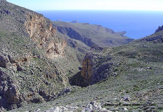
It is the old path that goes up to Prophet Elias or ‘Kapsa’ and the peaks of the mountains west of Lastros. With a winding path, the path unwinds towards the mountain slopes, among dense vegetation of brambles, holly and wild oaks. At the beginning, it follows a path parallel to the dried-up stream and passes through orchards with lemon and orange trees and terraces with olive trees. We follow an uphill course with a steep slope, while the vegetation thins out as we go up and does not make our passage difficult.
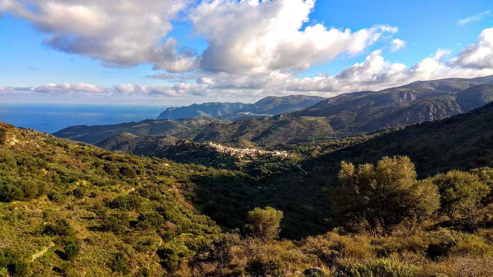
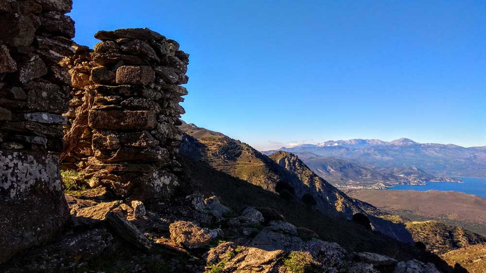
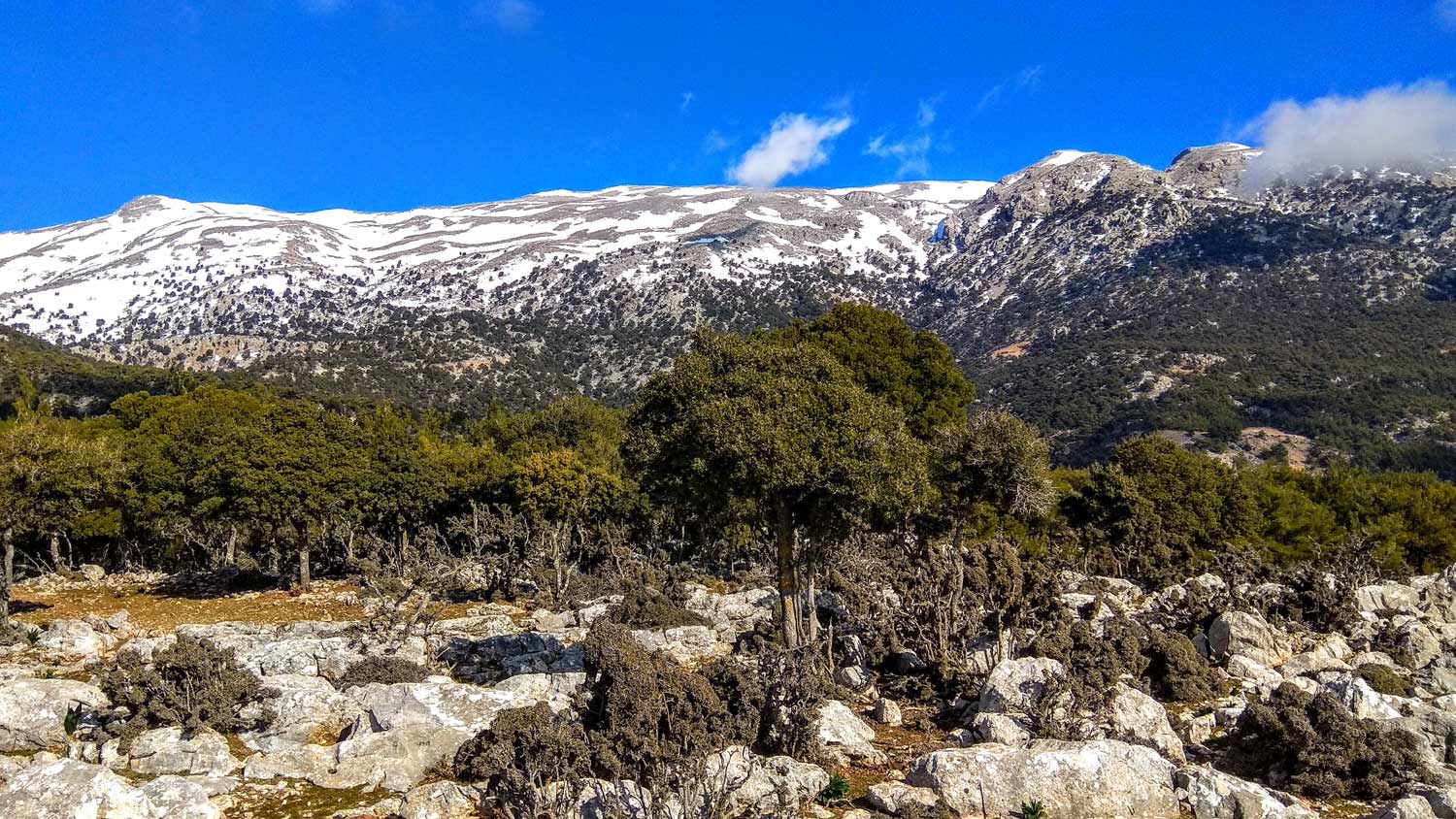
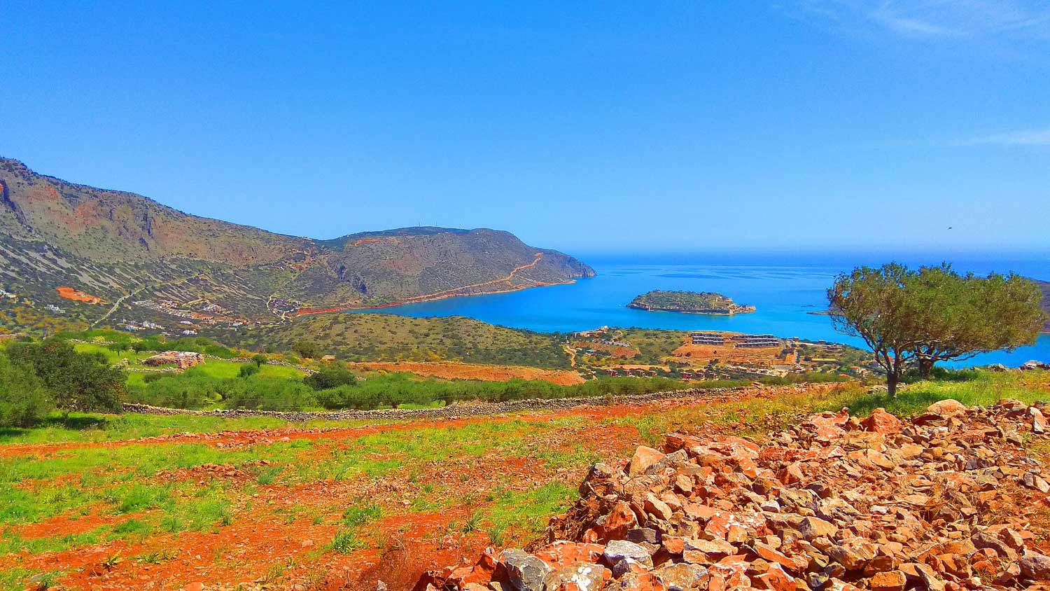
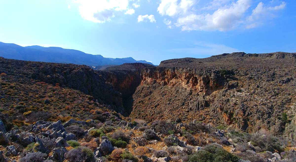
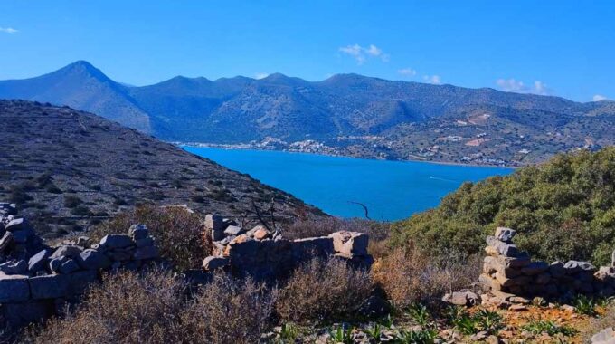
We leave the cultivated fields behind us and climb up the rocky mountainside, among aromatic bushes. The old path, well-maintained and clearly visible, crosses the thorny vegetation of sage, thyme, vegetation that later dominates the treeless, rocky slope of Kapsas. As we climb up, the picturesque villages of Sitia stand out under the dark northern slopes of the Sitian mountains, nestled among lush green fields of olive trees. Lastros, Sfaka, Tourloti and Mirsini are beautifully distinguished in pure white under the clear blue sky.
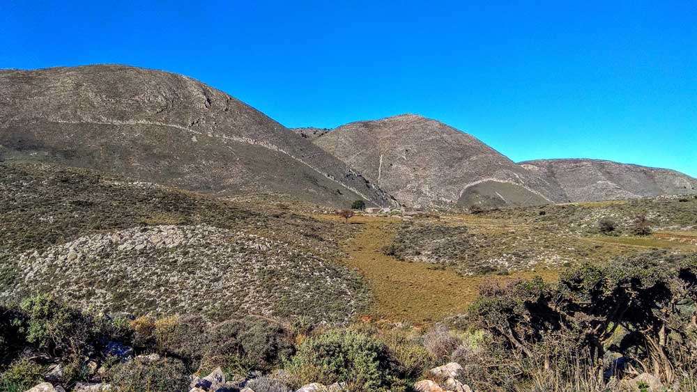
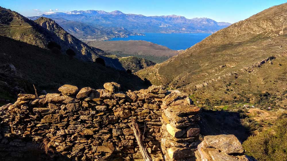
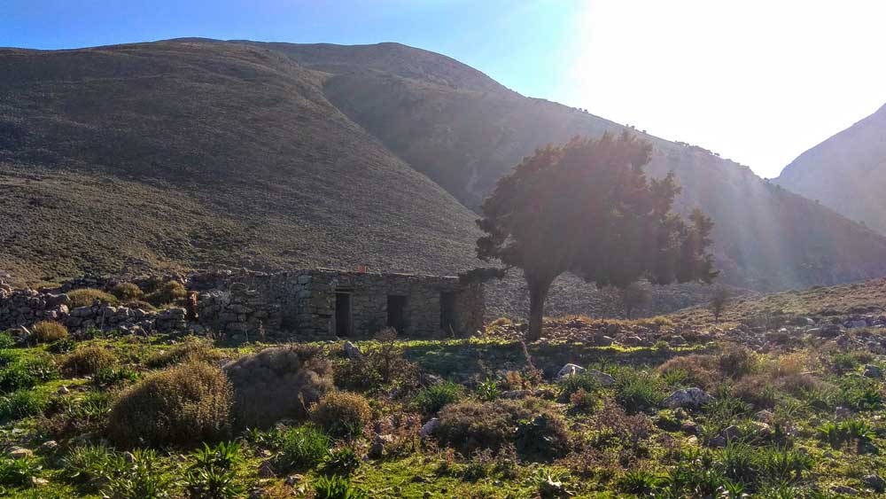
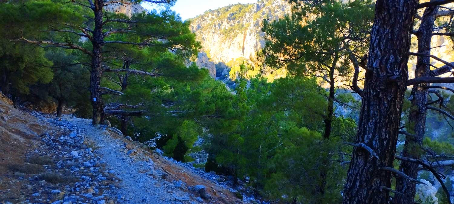
300 meters after the end of the dirt road we come to the intersection where to the right (north) it goes up towards Prophet Elias and to the left (south) it is the direction we take and the path is still clearly visible and takes us up with a gentle slope and parallel to the ravine. After 30-40 minutes of walking (1300m) we find the second intersection where straight (south) it leads us to the settlement of Melisses and to the west (our left) the path takes us up to a picturesque and impressive small plateau called Limnia at an altitude of 700 meters, with an abandoned old house or sheepfold which we pass. The direction of the path is now south-east which a little later becomes a dirt road and we meet the ‘central’ dirt road Bebonas-Kavousi.
So we climb this road towards Bebonas for 1 km and take the detour to reach our goal, which is the abandoned settlement on the opposite slope, 2 km west of Bebonas.
Additional Info
Starting Point: Lastros Village – 32km from Sitia and 34km from Agios Nikolaos
Altitude: 345m (Lastros) – 703m (Limnia Plateau)
Path Type: 40% on unpaved roads and 60% on path
Difficulty: Relatively easy
Walk distance (one way): 6 kms : 2,5-3 hours


This Post Has 0 Comments