
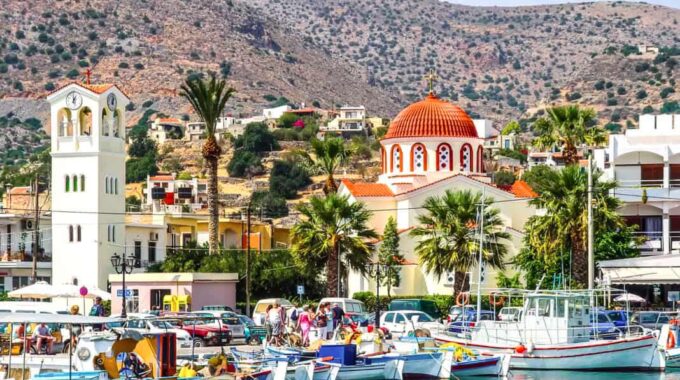
A world-famous tourist resort north of Agios Nikolaos, with lacy, windless sandy beaches, crystal clear…
Kroustas Forest and Park
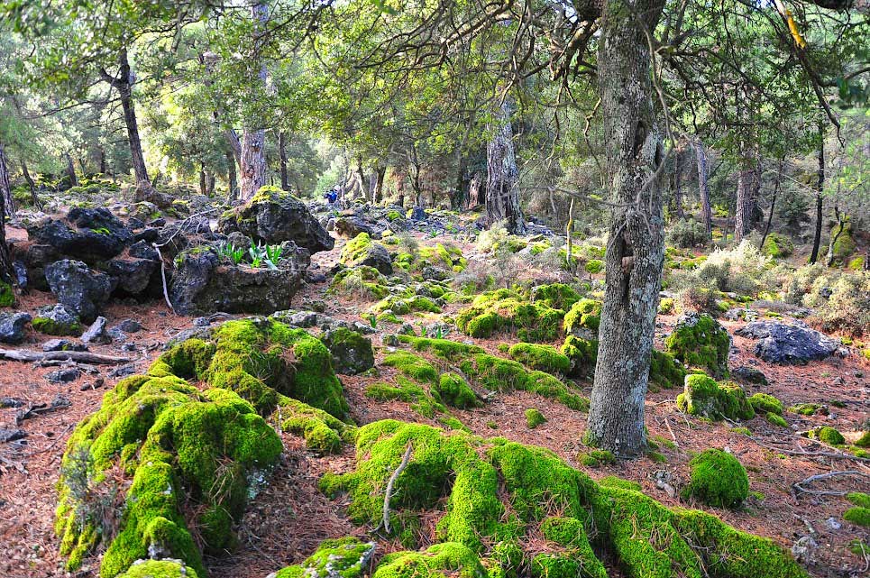
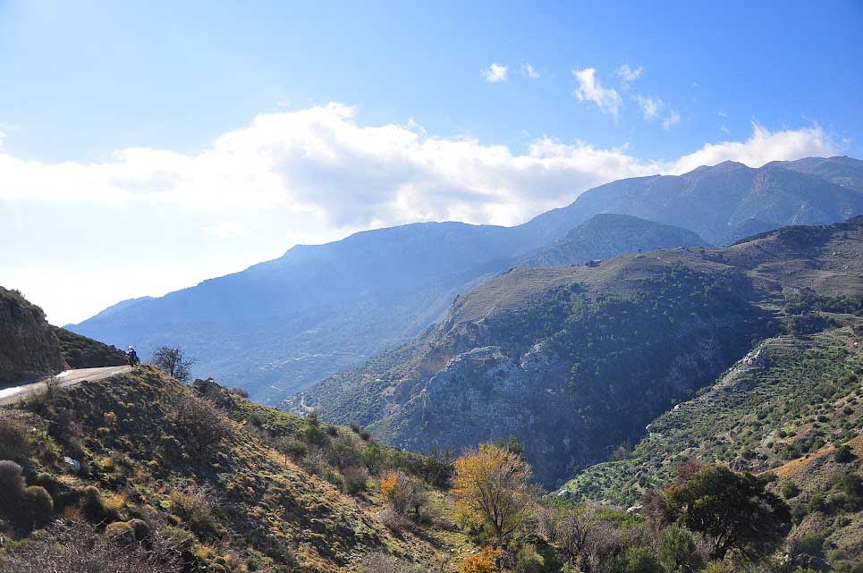
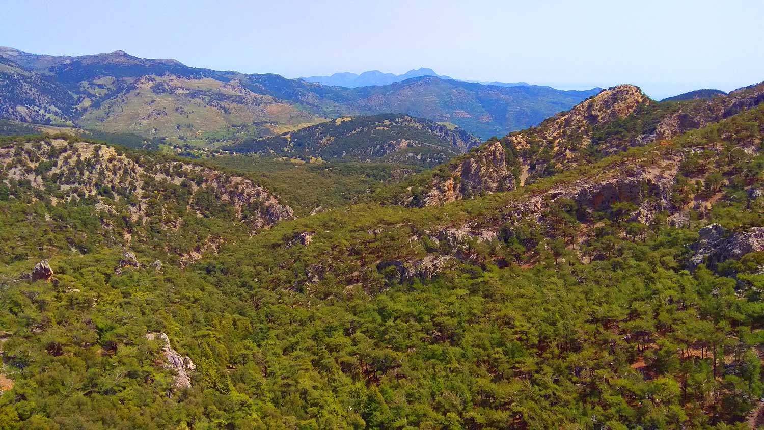
The forest or park of Kroustas is named after the neighboring settlement of Kroustas, Meramvello, Lasithi, which belongs to the Municipality of Agios Nikolaos and is located 16 kilometers south of the city of Agios Nikolaos. Above Kroustas and extending to the south-southwest, this wonderful and beautiful forest extends along with the neighboring villages that surround it: Males, Kalamafka, Anatoli, Kritsa, Prina, Kalo Chorio. It is, at the moment, the largest forest in Crete, both in area and in biodiversity.
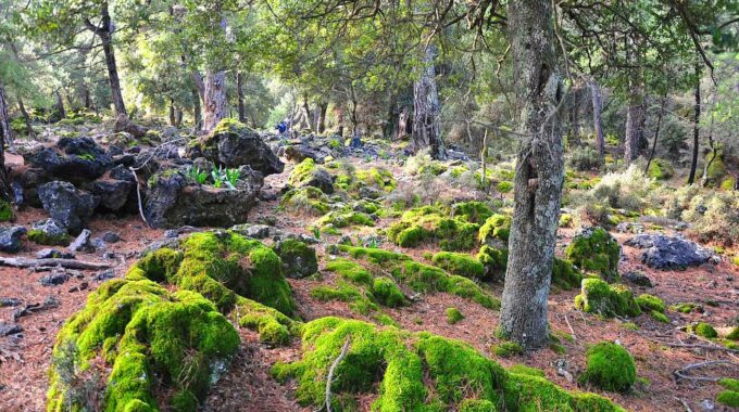
It consists mainly of pine trees, oaks, maples, but it also has some areas as clearings, so to speak, in which seasonal vegetables are cultivated as well as vineyards, such as of course mainly pear trees, apple trees, etc.
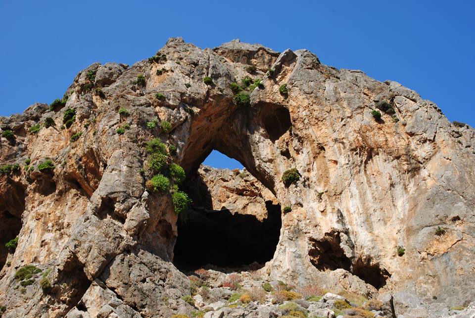
One of the most important forests of Eastern Crete, the rare forest of Kroustas, spreads over the wider area of the south-eastern Lasithi mountains. Since 2012, the Historical Park of Kroustas Forest has been established in the area by volunteers of the local Cultural Association, with the aim of protecting the forest and the archaeological finds. The area was systematically settled and intensively used by humans 4,000 years ago. In the early Minoan Palatial period (1900-1650 BC), several agricultural facilities (penns, enclosures) were constructed with boulders along with farmhouses.
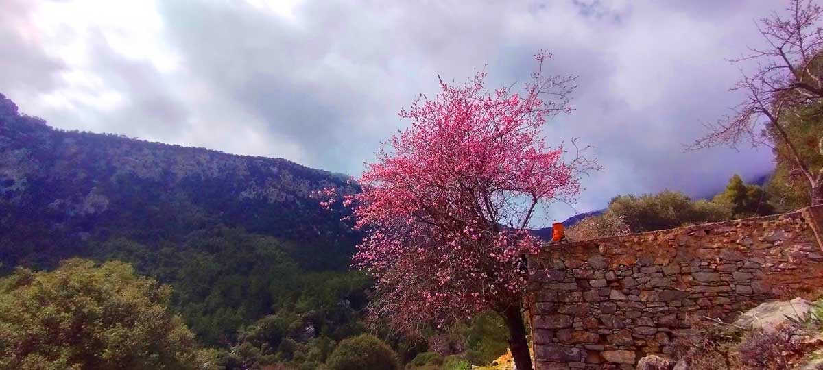
The impressive findings of the Minoan period were documented by Sabine Beckmann in the period 2003-2012. Then, the archaeologist from Germany (Sabine Beckmann), conducted excavations and research in the forest and identified, alone with her own funds, over three hundred Minoan sites in the forest. We are dealing with a wonderful and impressive forest that has a historical, archaeological and ecological background.
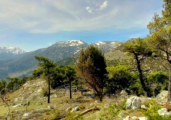
However, beyond the archaeological and historical interest, the area offers enjoyable hiking trails on marked paths, in the lush forest, with stunning views of the Cretan and Libyan Seas. A wide variety of birds and animals, as well as rare or endemic plants can be found in the ecosystem. Due to the altitude (800-1000 m.) the microclimate of the area is very pleasant, as the adjacent mountains block the hot summer and cold winter winds.
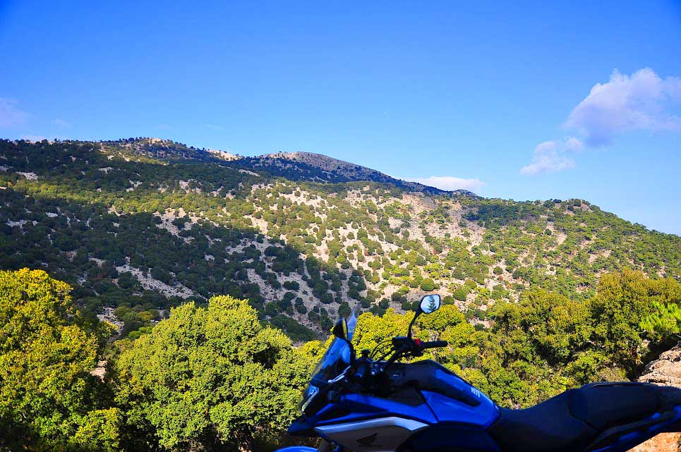
Hiking from Mino Plateau to Selakano
A wonderful, unknown and hidden plateau in the eastern Lasithi mountains. It borders the Selakano valley to the north and…
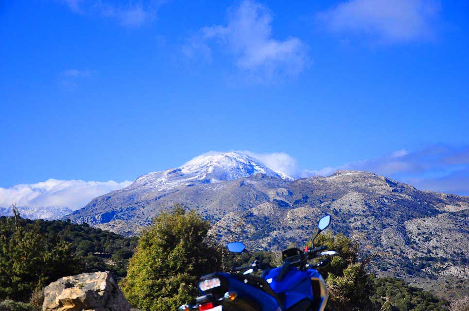
Katharo Plateau-Selakano
From the small settlement of Katharo located on the northern edges of the plateau and at an altitude of 1160m,…
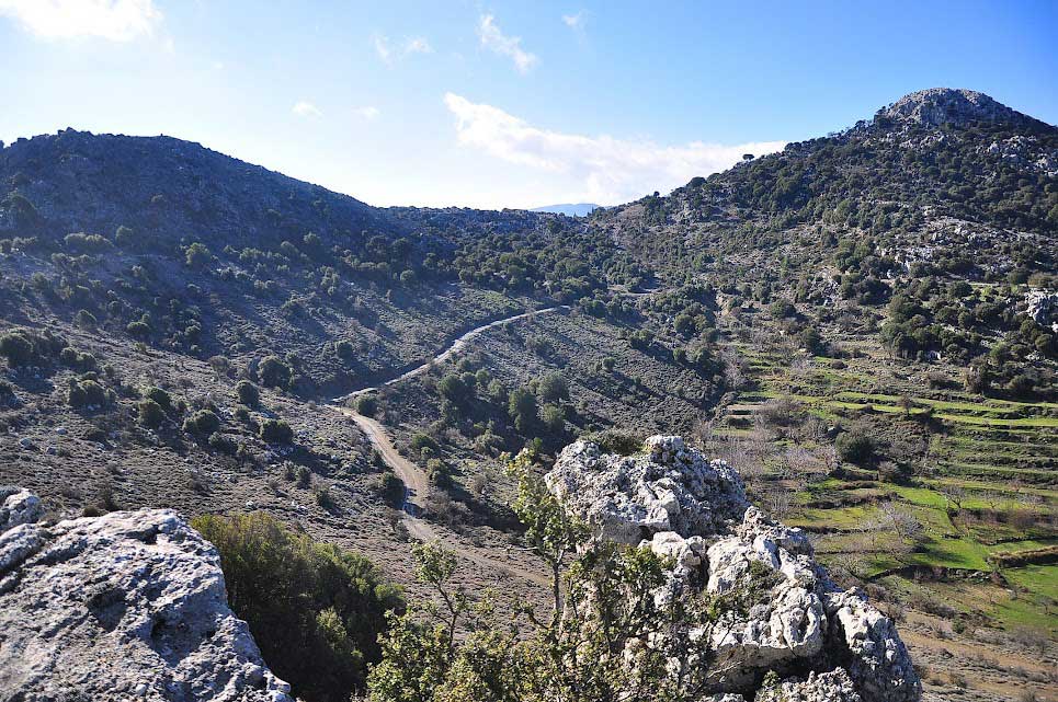
Zonari – Neraidogoula Cave
It is another unknown but beautiful route in the forest of Selakano. This time we will cross a large section…
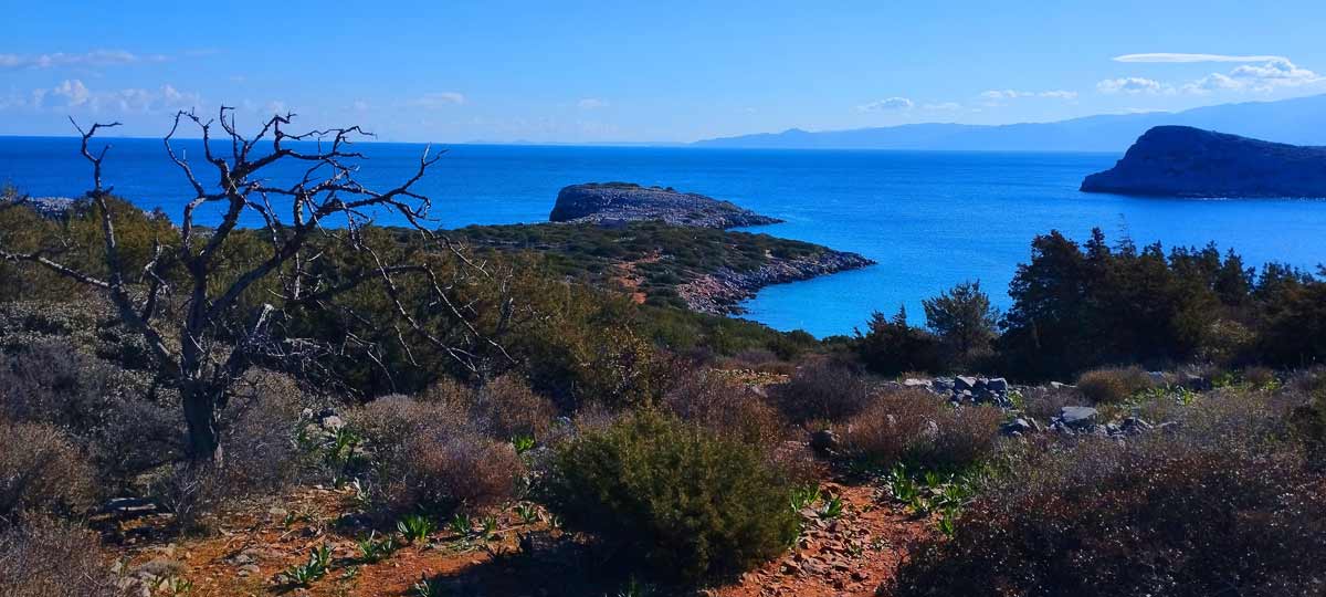
Kolokitha Peninsula, circular path
January 30, 2025
We leave our vehicle at the parking lot next to the Venetian windmills and near…
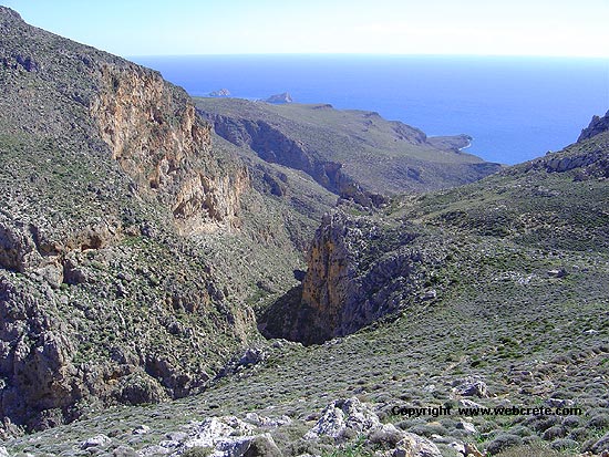
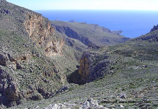
Agia Irini Gorge
January 30, 2025
The gorge is known to the natives, but unknown to the most of the visitors,…

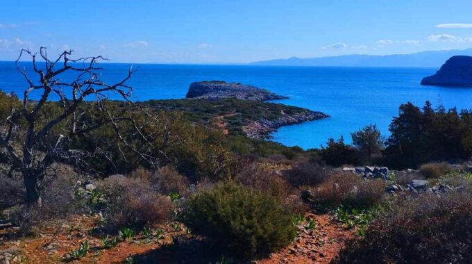
The island of Kolokitha, Elounda
January 23, 2025
The island of Kolokytha or Vryonisi is located in the Gulf of Mirabello opposite the…
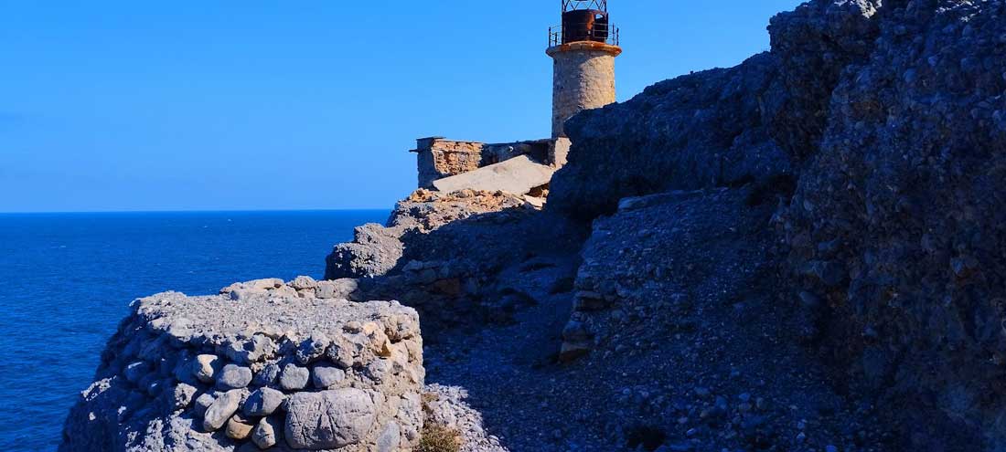
The lighthouse of Aforesmenos
January 21, 2025
The lighthouse of Aforesmenos is located 27km north of Agios Nikolaos, 20km from Elounda, and…
Sitia Geopark
The Natural Park of Sitia is on the easternmost edge of Crete, in the Municipality of Sitia. It covers the…
Related Articles
This Post Has 0 Comments