A world-famous tourist resort north of Agios Nikolaos, with lacy, windless sandy beaches, crystal clear…
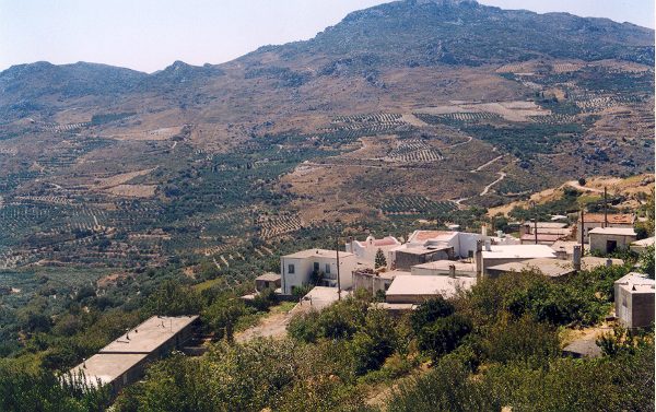
Kria
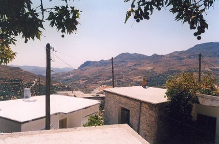
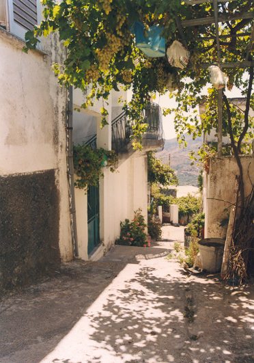
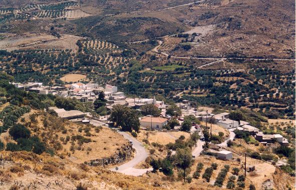
This village on the road from Piskokefalo to Stavrohori is about 25 km from Sitia (South West) . It is divided into two groups of houses called Apano Kria and Kato Kria. In the Venetian census of 1583 it was listed as Cria with 176 inhabitants.
The local people pronounce the name «Kriya» and insist that as it gets very cold there in the winter months the name of the village reflects the climate, (krio: cold), and it seems quite likely that this is the true origin of the name. Above Kato Kria, on the hill called Trapeza, traces of ancient ruins are to be found. Near the village, on the hill of Agios Georgios, next to the chapel after which the hill has been named, are the remains of Late-Roman water cisterns. The top of this hill is surrounded by the walls of a Venetian fortress known as Monte Forte. The Venetians must have built it in the 13th or 14th century ΑD for the protection of the lahds they had seized. It is contemporary with the forts of Sitia, Liopetro, Agios Stephanos and Voila.
Ιn 1971 eχcavations were started on a group of graves at Tsachali, a deserted spot on the lower slopes of the hill; the dig was completed in 1977. It proved to be a cemetery of the Sub-Minoan and Protogeometric periods. There were many unpillaged graves but the grave-goods were generally of poor quality. Α complete stone-lined tomb with its funerary pithos and human remains was removed and is on display in the Agios Nikolaos Museum. This of course was a task requiring patience, precision and skill. Some of the walls of the mosque are still standing at Kato Kria. Not far away was the settlement of Visas, listed in 1583 as Visia with 107 inhabitants – today it is only ruins.
From the book “Sitia”, N.Papadakis, Arcaeologist
Additional Info
Location: Sitia Region – 19,5 km from Sitia
Access: Aphalt road
Residents: 70 (2012)
Αltitude: 450m
This Post Has 0 Comments