We leave our vehicle at the parking lot next to the Venetian windmills and near…
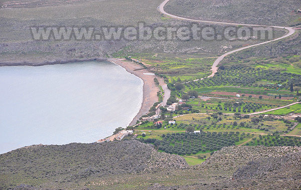
Kato Zakros – Skopeli – Pelekita
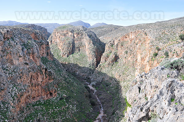
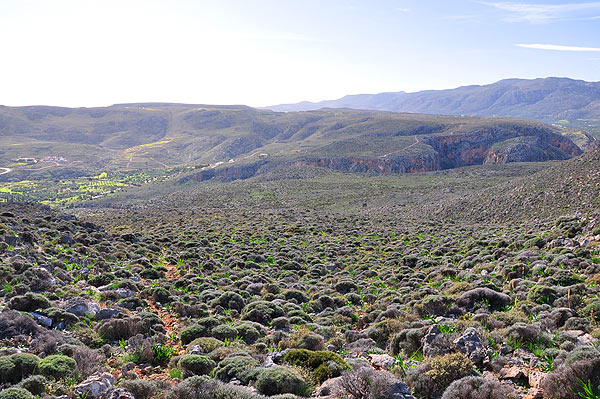
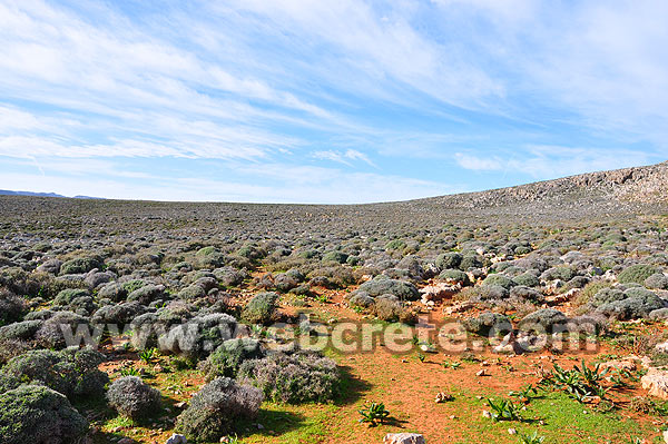
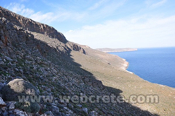
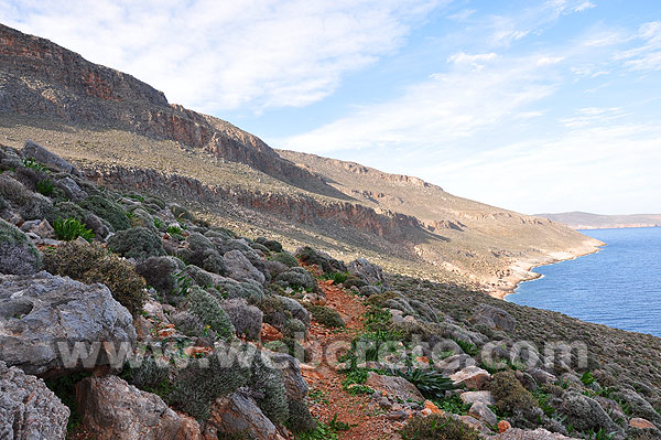
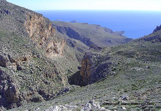
The route begins near the entrance of the gorge of Kato Zakros. There is a relative sign, which will lead you to the direction. This first part of Kato Zakros – Skopeli is quite difficult and uphill, after climbing by almost 0m to 400m altitude.
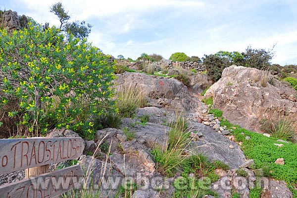
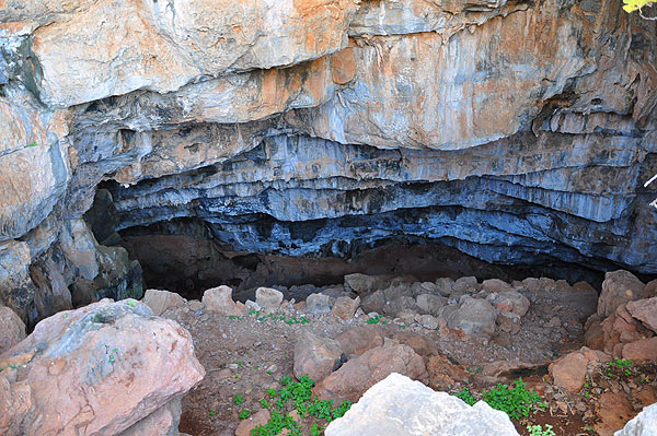
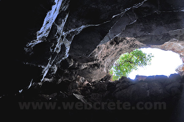
It should be noted that there isn’t any clear path to the cave of Pelekita and the only way to get it correctly is to follow the red signs on the rocks and stones, every 5-10 meters.
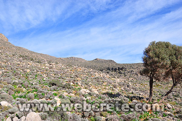
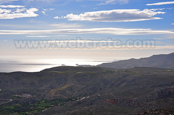
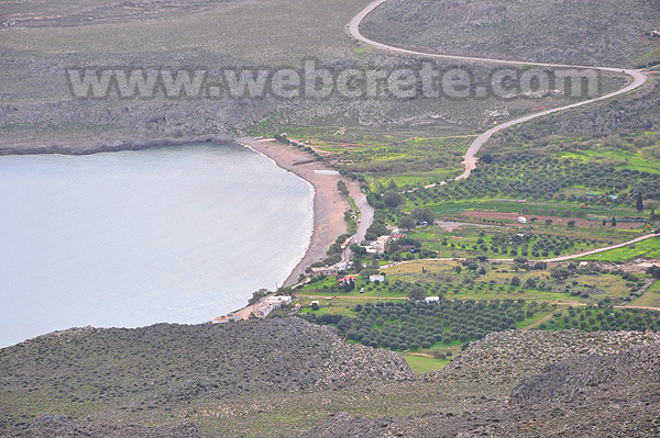
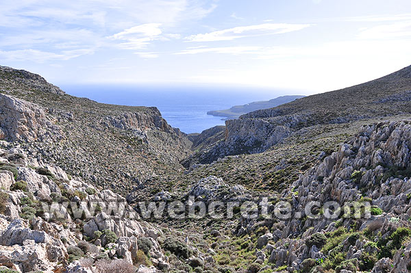
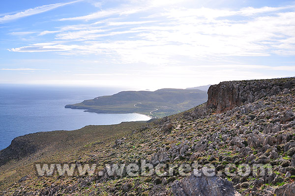
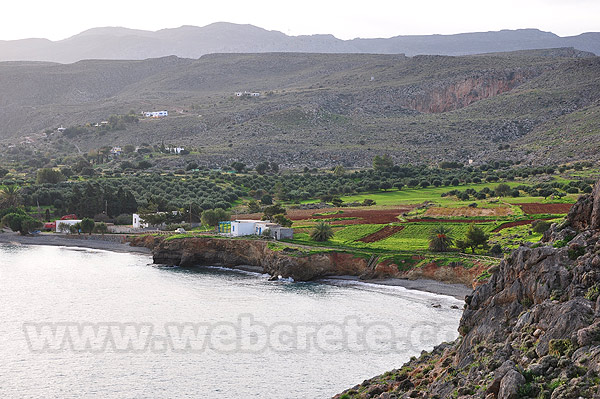
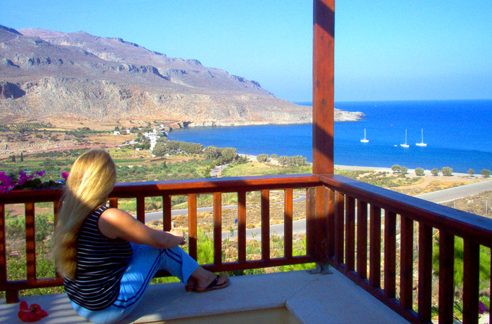
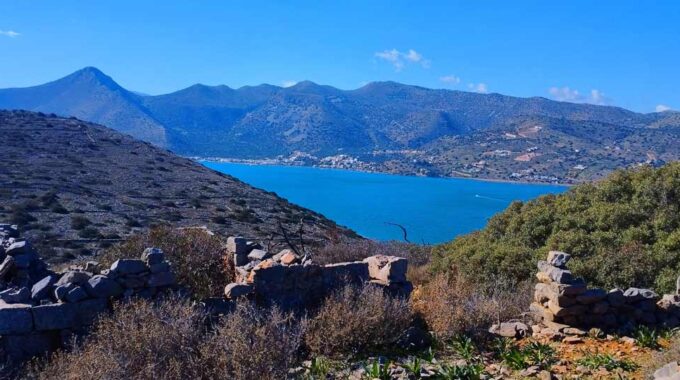
From the top of Skopeli we have wonderful views across the south east, particularly towards the bay of Kato Zakros. The route Skopeli peak – Cave Pelekita is much easier, without any particular problems. From the cave there is a path that will take us back after an hour in Kato Zakros.
Additional Info
Altitude: 20 – 400 m
Starting Point: Kato Zakros
Path Type: Red signs without clear path for Kato Zakros-Skopeli-Pelekita
Difficulty: Moderate
Walk distance: 9 kms : 4-5 hours
More to do in Kato Zakros
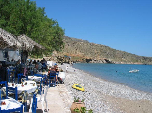
Kato Zakros Beach
The settlement of Kato Zakros, only 8 km away from Pano (upper) Zakros, 25 from Palekastro and 44 from Sitia is an impressive small fishing village, hidden away in the…
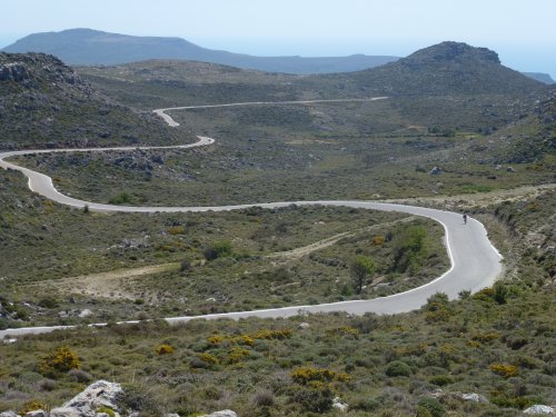
Cycling in East Crete
If you are a mountain bike lover or healthy living is part of your life, then here’s your place to be. Explore the beautiful prefecture of Lasithi, Crete on our…
This Post Has 0 Comments