We leave our vehicle at the parking lot next to the Venetian windmills and near…
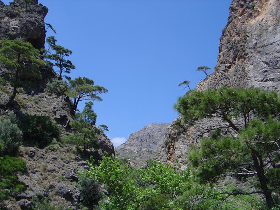
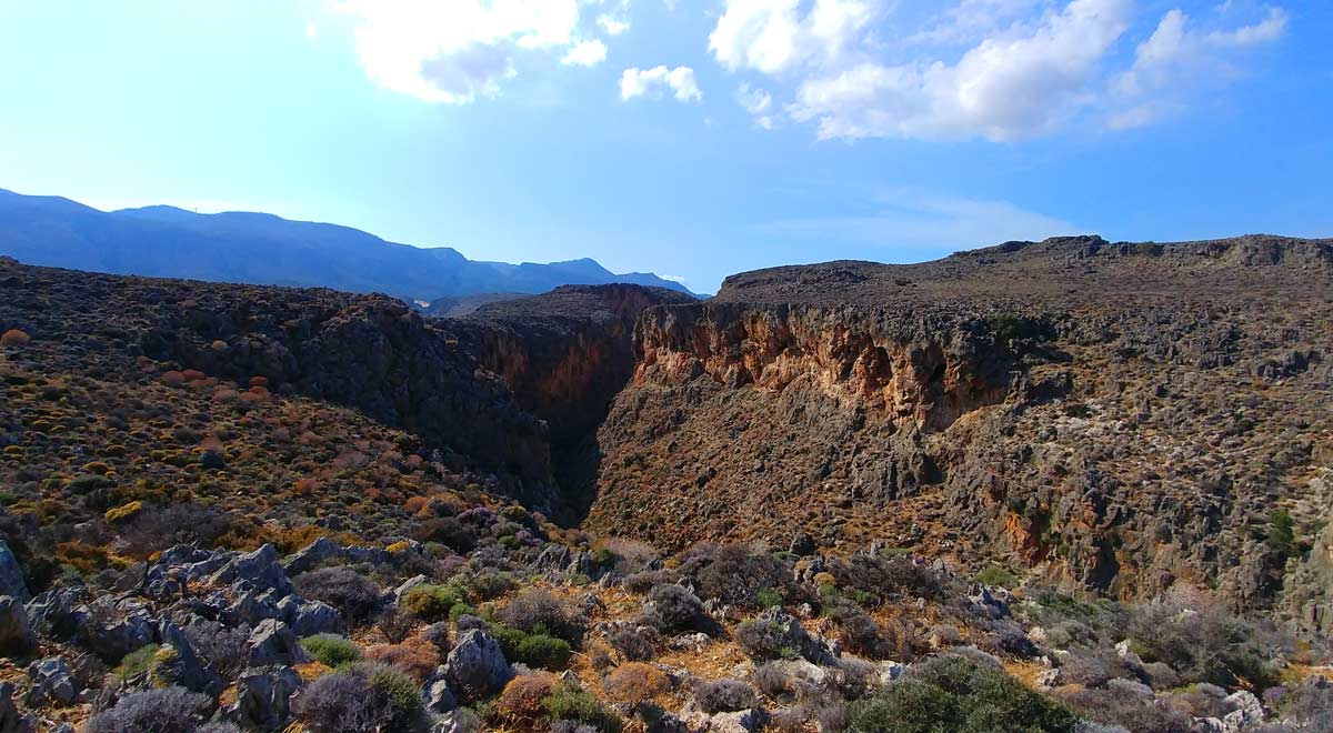
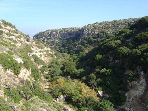
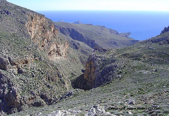
Chavgas Gorge in Kalamafka
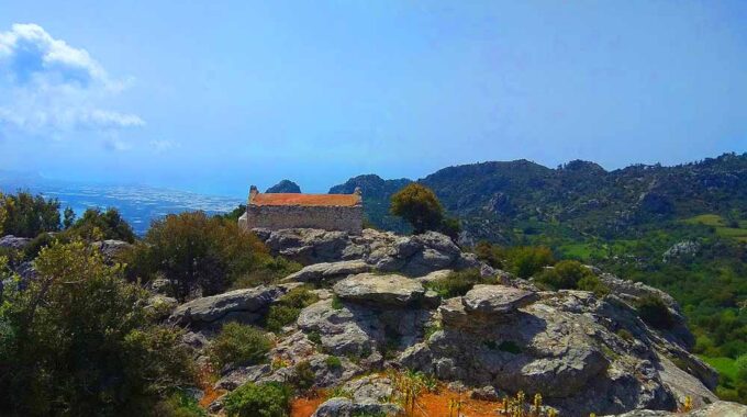
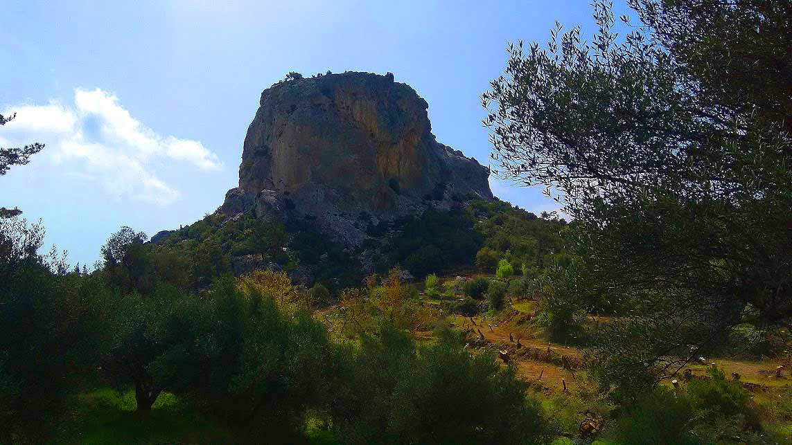
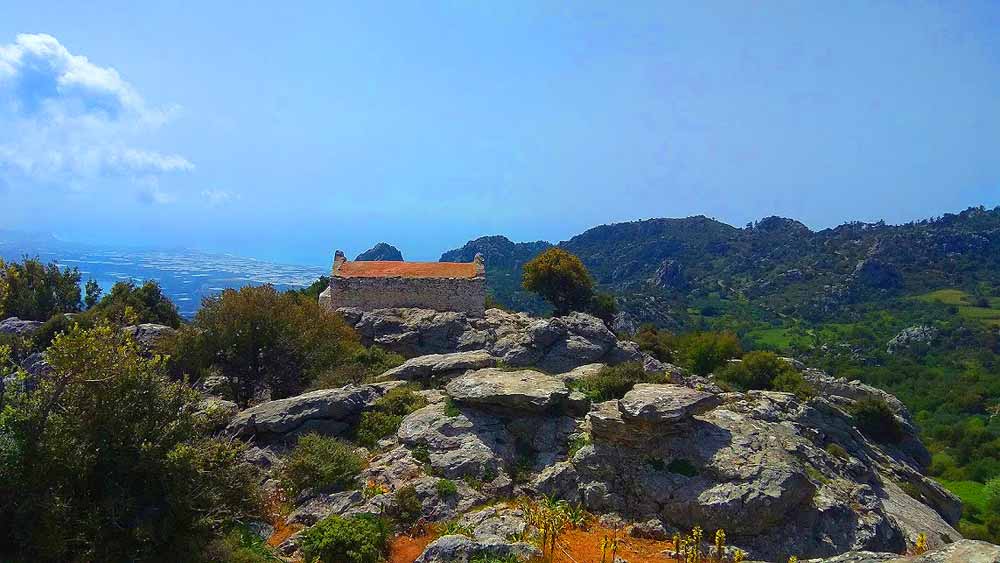
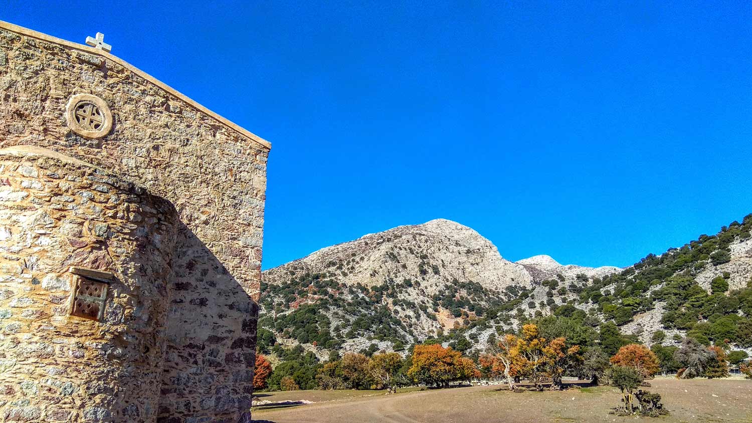
The route “Kalamafka – Meteora Crete – Holy Cross – Kalamafka” is an easy hiking route in an area called Castellana Kalamafka or otherwise in Meteora of Crete. Ending via a circular route at the chapel of Holy Cross (Timios Stavros), at the top of the rock.
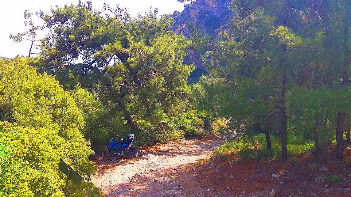
The starting point is located at the cemetery of Kalamafka south of the village on the main asphalt road that continues towards Anatoli, which is 23km from Agios Nikolaos and 13 km from Ierapetra. The route is marked sparsely with some colored marks on the rocks, mainly in the first part of the route, while there are some signs for the climb to Holy Cross.
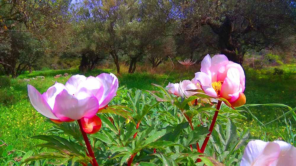
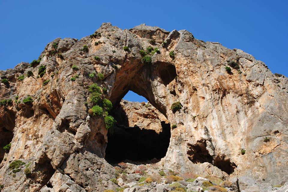
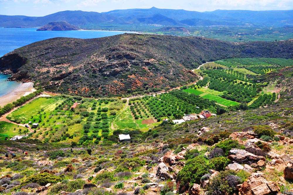
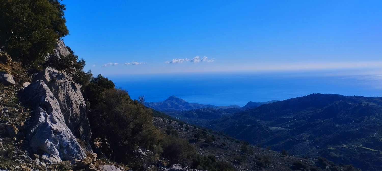
The Kalamafka village area is a hiker’s paradise from December to May. Running water everywhere, endemic wildflowers and herbs adorn the slopes, the olive trees and the impressive rock formations.
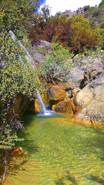
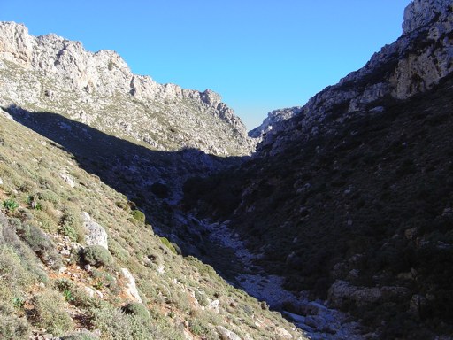
The slopes are generally gentle, except for some short climbs on the hills. From the starting point we move west on an uphill dirt road. Soon we enter a clearly visible path parallel to a ravine with rich vegetation. We will also encounter 1-2 small waterfalls where in winter and early spring the amount of water is impressive.
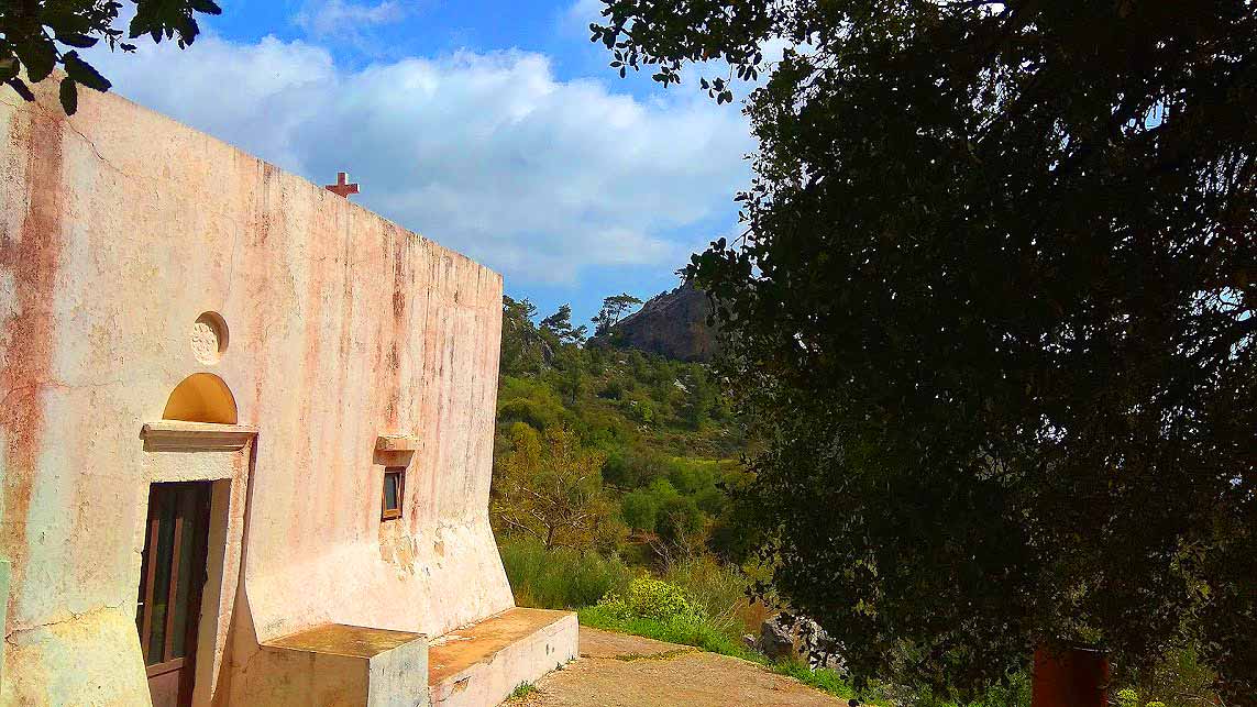
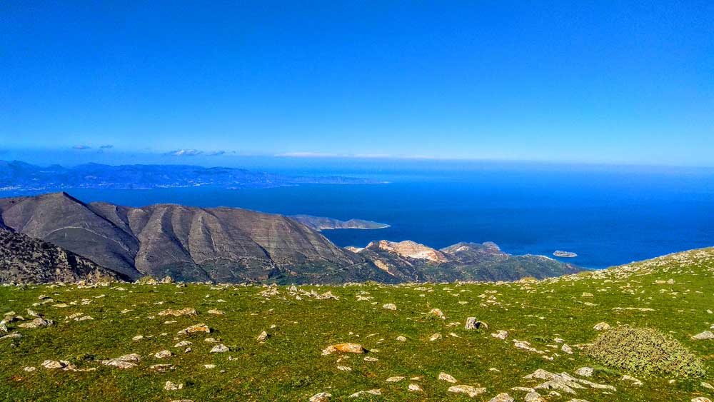
At the end of the path we will enter a dirt road and we will reach the chapel of Agios Georgios and from here we will approach the first Meteora of Crete. From the chapel of Agios Georgios we move south to reach the chapel of Panagia Kalafatiani. We continue east and approach the rock, looking for the path to climb the hill and reach the viewpoint at the chapel of the Holy Cross.
Additional Info
Altitude: Lowest point : 532m (Dirt road) – Highest point: 770m Timios Stavros chapel and peak
Starting Point: Dirt road, 1,3 km south of Kalamafka
Path Type: At the beginning (500m) dirt road – After on mountain path with marks. The last 2 km on dirt road again
Difficulty: Easy
Walk distance: 4,5 km : 3 – 1,5 – 2 hours
Sitia Geopark
The Natural Park of Sitia is on the easternmost edge of Crete, in the Municipality of Sitia. It covers the…
This Post Has 0 Comments