A world-famous tourist resort north of Agios Nikolaos, with lacy, windless sandy beaches, crystal clear…
Orino or Butterfly Gorge
It’s one of the most known gorges of south-east Crete (Makrigialos-Ierapetra area). Its entrance is at the little forest of Koutsouras, which is just one km far from the littoral village of Koutsouras and 6 km from Makrigialos. Its end is just 2 kms far from Orino settlement. The best time of the year to cross it is winter or spring (December-June). You will find out wonderful landscape and small waterfalls are scattering along the route.
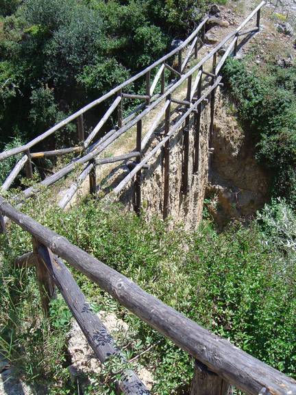
There is a path, which is a little bit difficult to cross in some places and you need to pay attention, because you may make a mistake on your way. You have to pay much more attention at the middle part of the gorge, which is not passable through the torrent, but through a dirt road at the western side.
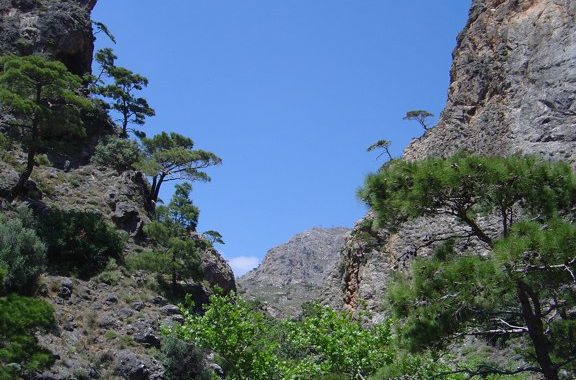
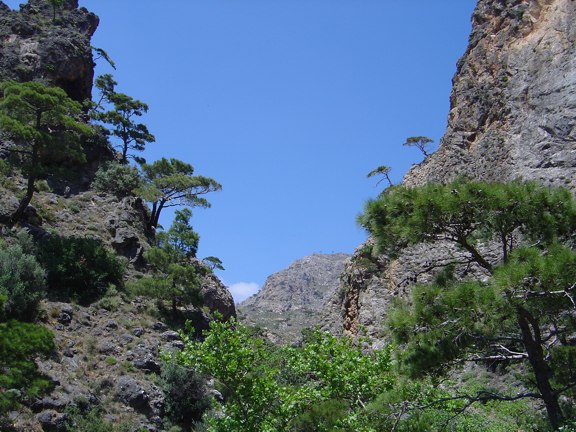
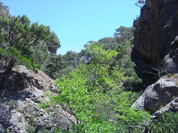
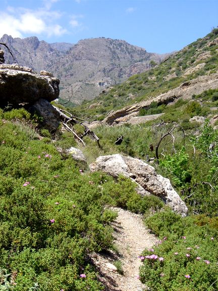
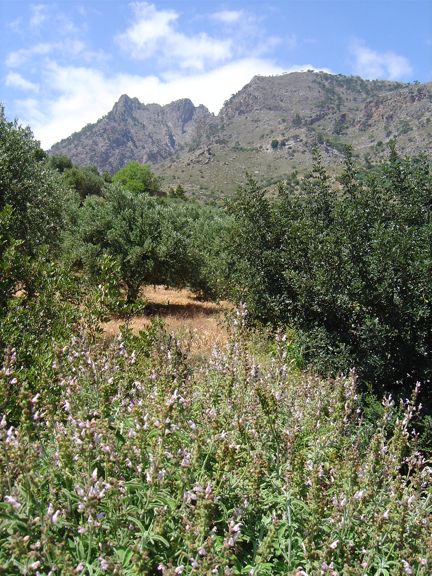
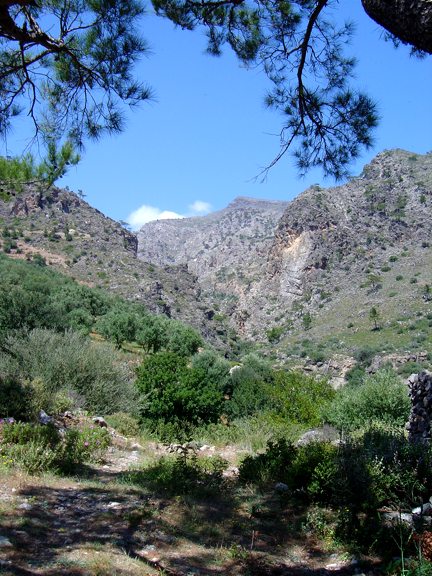
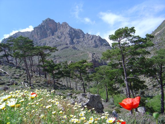
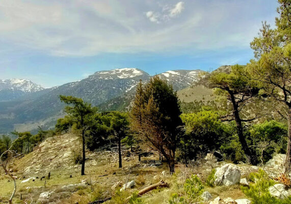
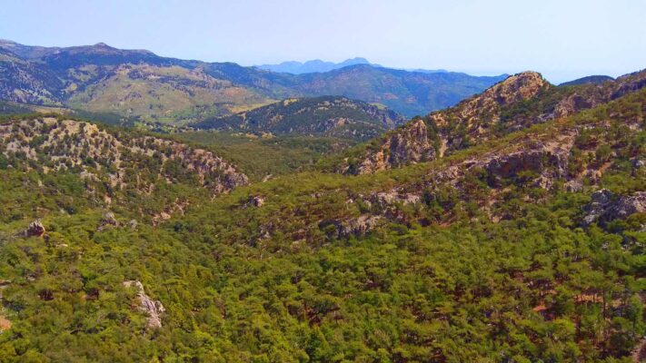
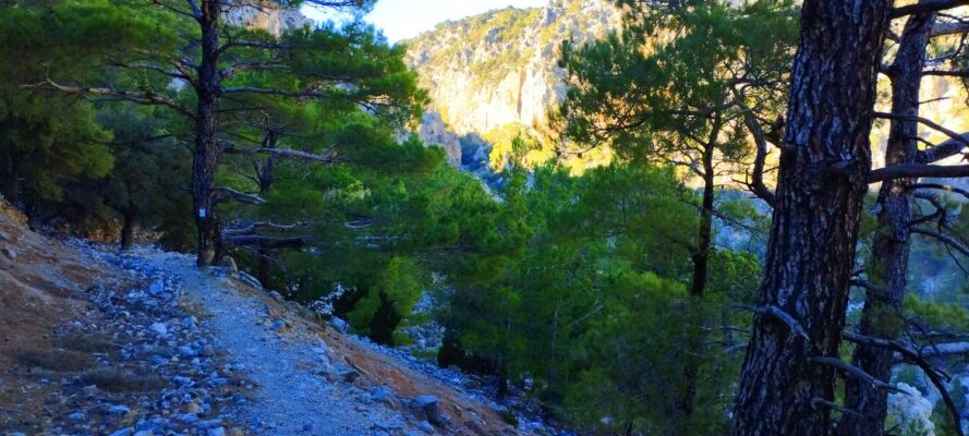
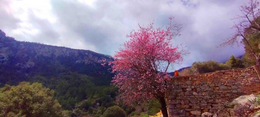
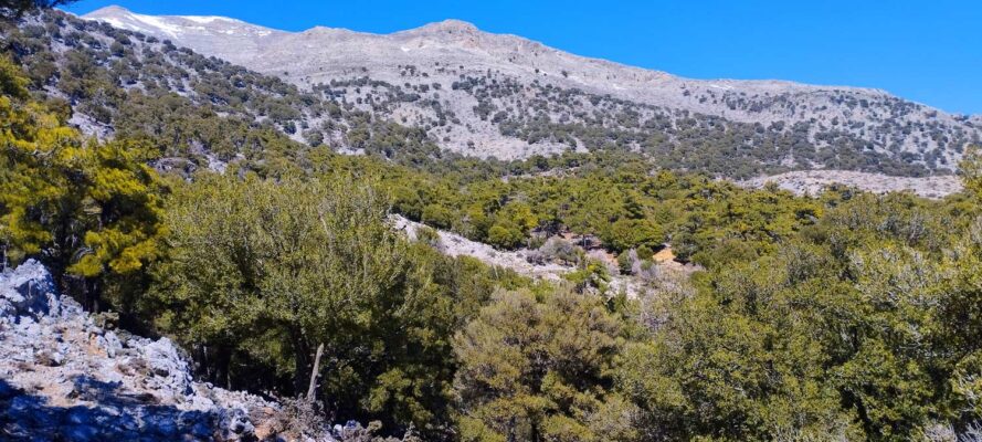
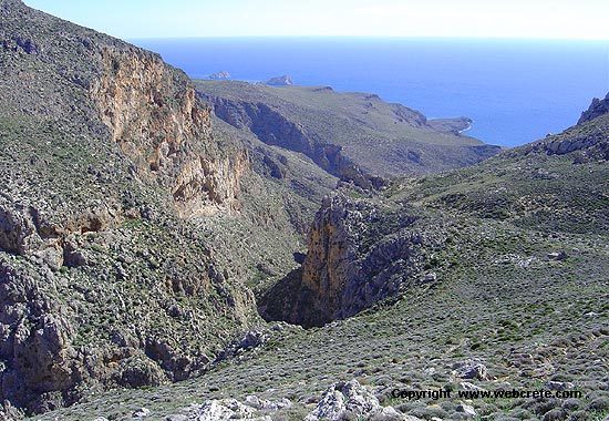
We can divide the gorge in three parts. From Koutsouras as we ascend, there is the most verdant part, full of pine trees and a lot of impressive clif, which rise around. After one hour walking, the gorge leads to a cultivated upland, that has not the image of a gorge. After walking for half an hour, this cultivated upland comes to an end and the rocks rise around you soon again.
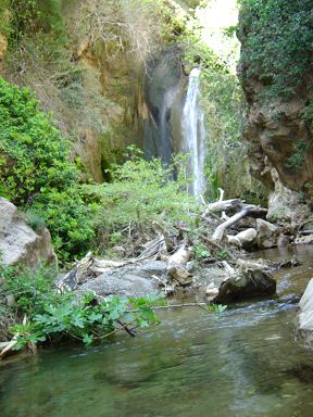
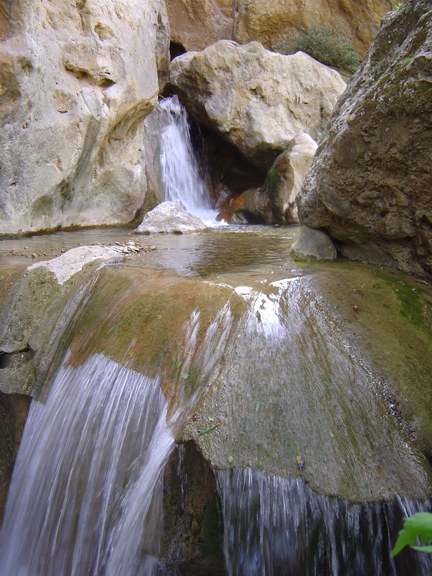
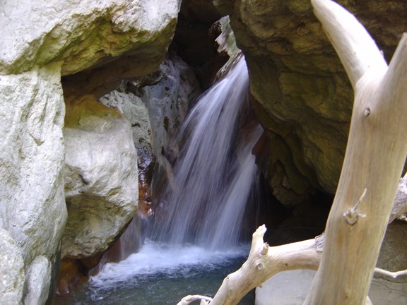
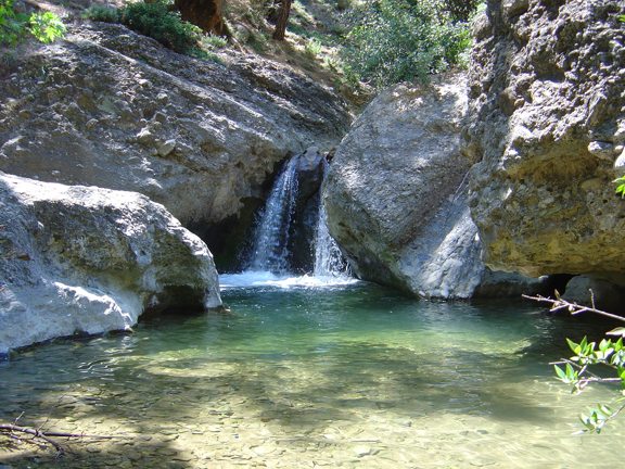
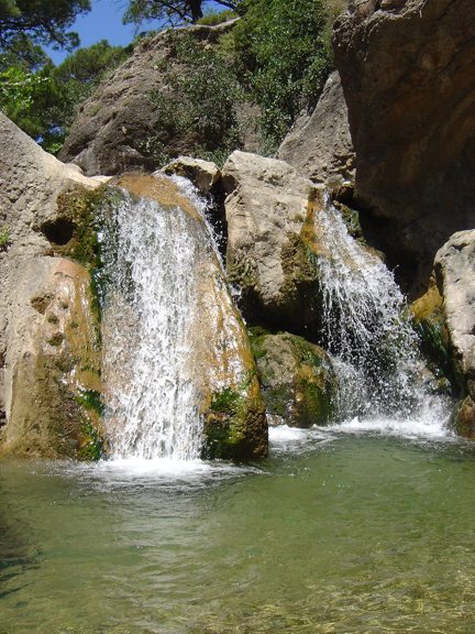
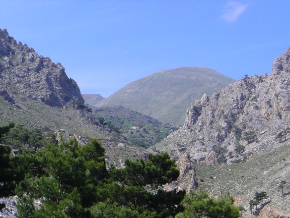
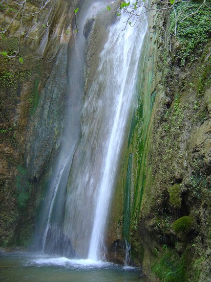
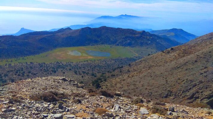
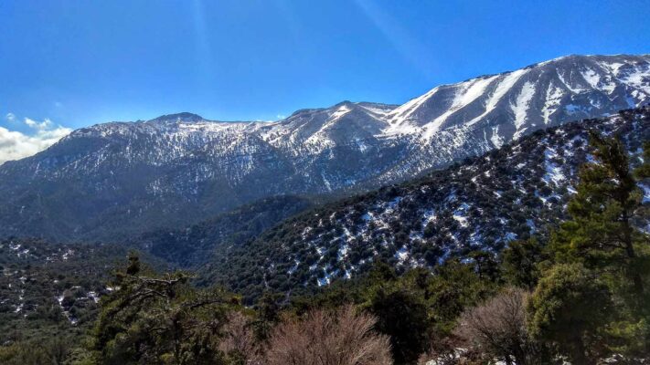
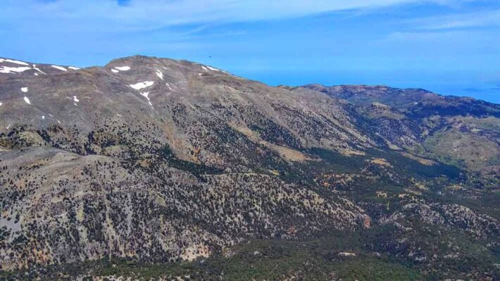
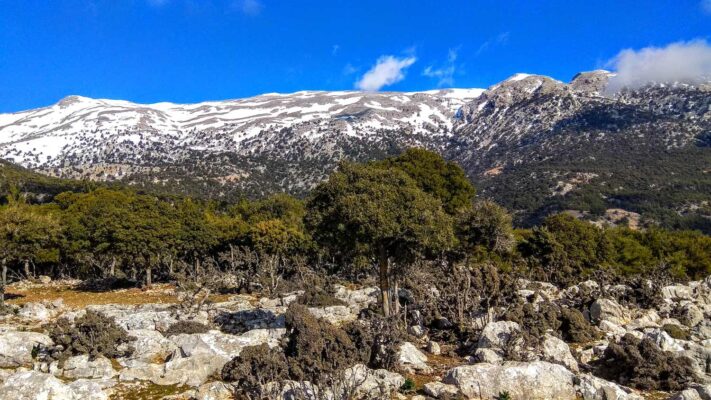
The last 2 kms (walking from south to north) are very impressive, because the view is abundant to the surrounding mountains. At the end of the gorge we had a marvelous surprise: A waterfall was coming out of the cleft of a rock. We can say, the last three waterfalls at Peristerionas position are some of the most beautiful in East Crete. Impressive also is the amount of water, very rare at the dry Makrigialos region. Sometimes, even during the summer months there is water flow in the gorge. An asphalted road (which connects Orino mountain village to the coastal area of Koutsouras) is very near. These last 2 kms are very uphill, but they reward the outdoorsy with the wonderful pictures of the surrounding area.
Unfortunately a fire had destroyed 70% of the pine trees of the area of the gorge in 1993. Today as you walk through the gorge, you can see the remains of the fire and the burnt pines, as witnesses of an older time, when the verdure was abundant everywhere.
Additional Info
Altitude: 20m (Koutsouras forest) to 470m (Pristerionas Waterfall)
Starting point: Koutsouras forest – 2km west from Koutsouras
Path Type: Relative Good Marked path
Difficulty: Relatively easy trail
Walk distance: 6km – 3 hours

This Post Has 0 Comments