A world-famous tourist resort north of Agios Nikolaos, with lacy, windless sandy beaches, crystal clear…
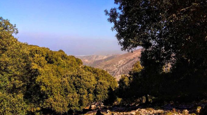
Atzilakodasos from Vrachasi
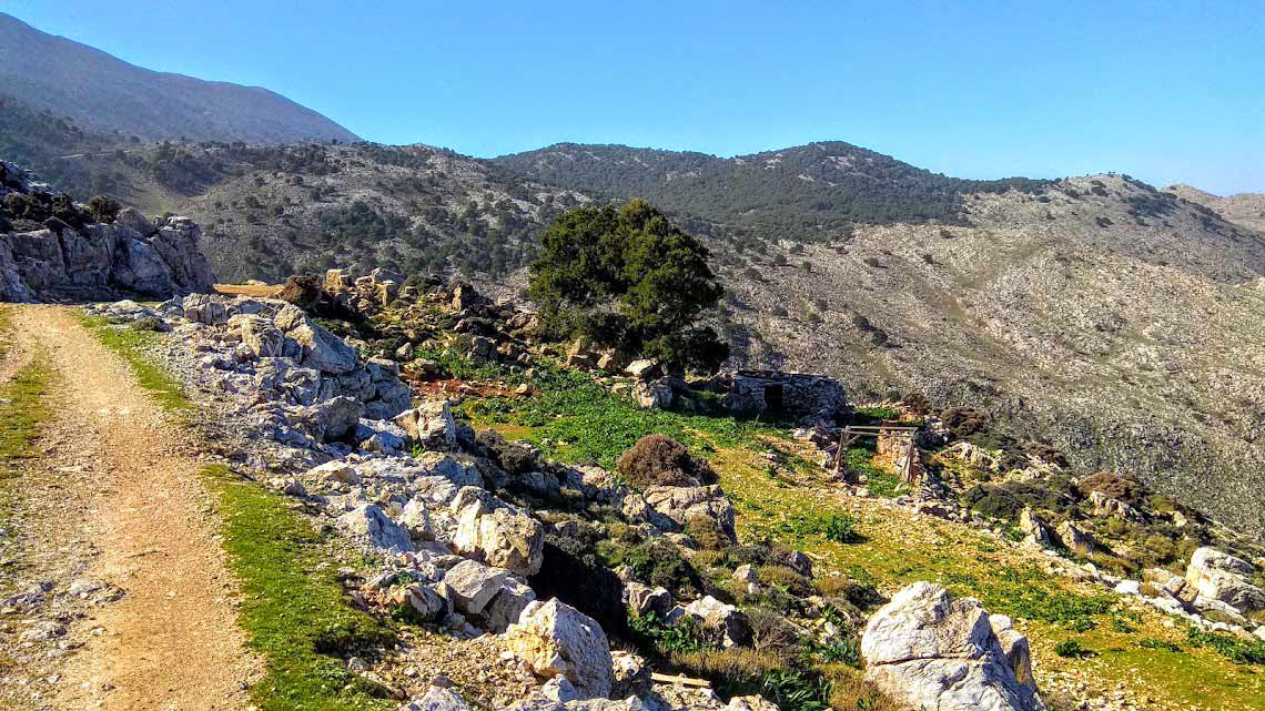
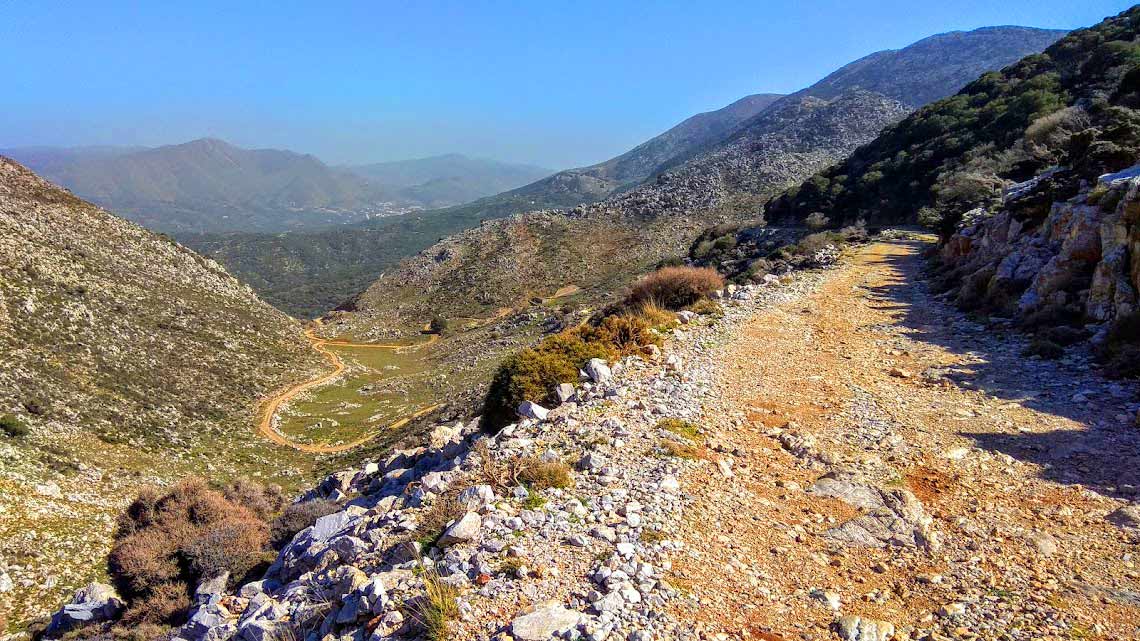
The usual route to Atzilakodasos starts from the location of Hamoprina, about 4.5 km south of the center of Mallia on the road to Krasi Village. Also very well known is the path that starts a little further east from Krasi, where after about an hour the two paths meet so that with an additional half an hour of hiking we find ourselves in the western part of the forest. We chose to visit the eastern part of the forest from the Vrachasi side, which is both the densest and least visited due to the complete lack of a path through the dense stands of trees.
We walked improvising our route and enjoying the unique beauty of the most untouched part of the forest. You can follow our route from the map we provide.
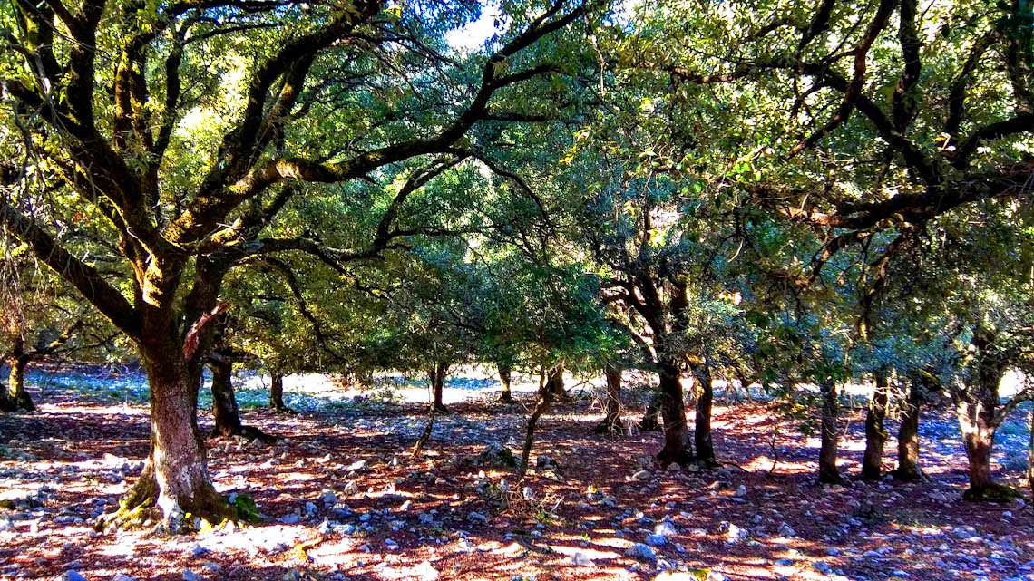
The Azilakodasos forest is located in the northern part of the Dikti mountain range, at the foot of Selena and is one of the few forests that exist in the Mediterranean region. It has an area of approximately 2,000 acres and is covered with towering trees of the genus Quercusilex, a rare tree between oak and holly, found in the mountainous areas of Crete and some Aegean islands. The Cretan name for the tree is ‘Azilakas’, while in the rest of Greece it is called Aria or Arios Drys. In Crete, apart from the Vrachasi area, populations of azilakas are found in the Rouvas forest and in Georgioupolis. In the rest of Greece, a forest with azilakas trees exists in Ikaria (Ranti forest) and in smaller numbers on other Aegean islands.
It is resistant to extreme conditions, with excellent adaptation to the ecological conditions of the Mediterranean and grows in gorges and on the banks of rivers and streams. Azilakas is an evergreen tree that reaches up to 25 m. with smooth bark and oval, lanceolate leaves, with slightly serrated edges. Its acorns are bitter, with fluffy scales and are used for pig feed. Its wood is particularly hard and durable and in ancient times it was used for the construction of ships and houses.
As we proceed, the trees become more and more numerous and after a total of one hour’s walk we find ourselves in the forest, surrounded by towering, gnarled trees.
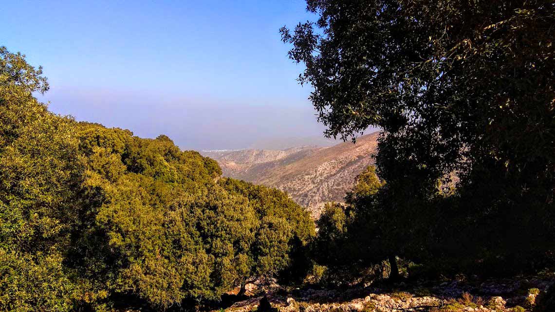
We cross the Azilakas Forest enjoying the route, although the view towards the northern coastline of Crete is limited due to southern winds and high humidity in the air. When visibility is good, Chersonisos, Mallia, Sisi and Milatos can be seen through the trees. We enjoy the unique beauty of the forest, walking under the azilakes. Winter has made its presence felt in the forest with the intense humidity and the smell of the wet soil, the drops on the leaves and the green moss, which covers the tree trunks and the rocks like soft velvet.
We stop under towering trees to rest and to capture in our memory the unique beautiful images that the mountainous nature of Lassithi offers.
Additional Info
Altitude: Lowest point : 415m (Dirt road-Agios Georgios Monastery) – Highest point: 880m (Just before entering the forest)
Starting Point: Agios Georgios Monastery, 5,8 km west of Vrachasi Village
Path Type: At the beginning (7.2km) dirt road – After entering the forest free walking with no marks and no path.
Difficulty: Moderate
Walk distance (One way): 8,6 km : 2 – 2,5 hours
Sitia Geopark
The Natural Park of Sitia is on the easternmost edge of Crete, in the Municipality of Sitia. It covers the…

This Post Has 0 Comments