A world-famous tourist resort north of Agios Nikolaos, with lacy, windless sandy beaches, crystal clear…
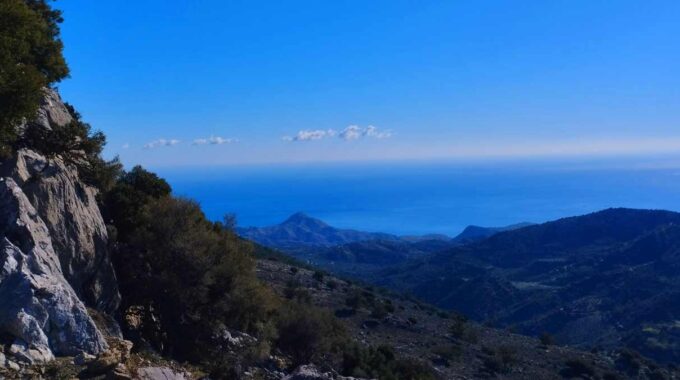
Ano Simi and the unknown plateau
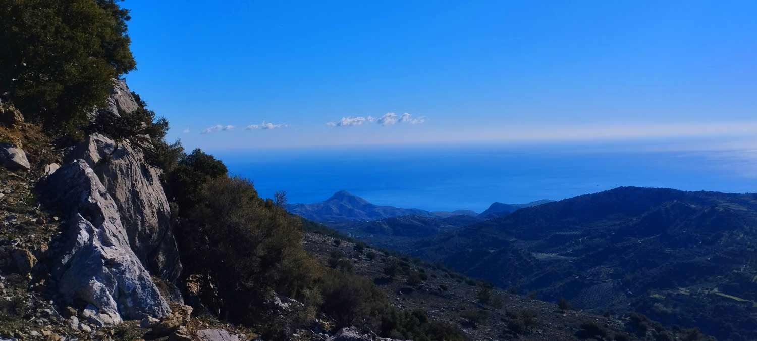
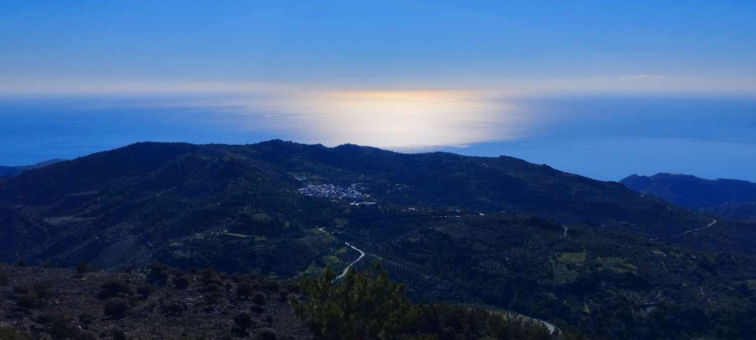
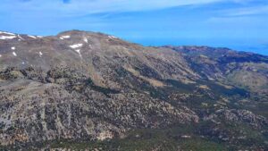
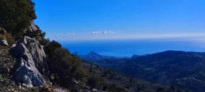
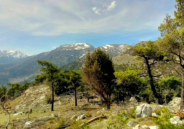
An amazing route in the southern Lasithi mountains, moving at an altitude of 900-950m and next to the wonderful mountain landscape of that slope.
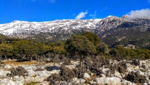
Almost the entire route is on dirt roads (see the map below) and is very easy since there are no serious altitude differences. The most suitable season is spring (March-June) but also in winter the route offers beautiful images, since the snow covers the surrounding mountains of this area several times.
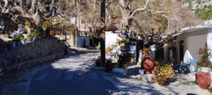
Pano Symi is the last settlement of the Municipality of Ierapetra to the Municipality of Viannos. Together with Mournies they form the community of Mournies. It is built in a landscape of rare beauty with sycamores, pines, pears, apples, cherries and figs that make up a magnificent view. The intense presence of greenery established this area as a resort for the surrounding settlements, as well as foreigners.
One of the most beautiful villages in all of Crete is right next door, a forest village of Kato Symi which belongs to the Municipality of Viannos Heraklion. Together with her partner, the now ruined village of Pano Symi, they are in the embrace of the densest and most important pine forest of Crete together with the neighboring Selakano Forest and Malles village, where thousands of beekeepers produce pine honey.
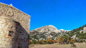
The whole area is full of springs of water gushing from the slopes of the Dikti mountain, which on its way you see water plane trees, walnuts, cherries and many other types of trees which in autumn change color giving the area a colorful tone, reminiscent of parts of northern Greece . The visitor to the area, in addition to the beautiful colors of autumn, has the opportunity to admire the small waterfalls and to wander through the endless forest that covers Kato Symi as well as Pano Symi from all sides, to go to the Milk-built church that was built with the milk of animals instead of water.
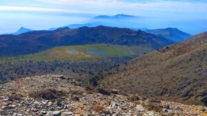
The Plateau of Pano Symi (do not confuse it with that of Lapathos which is further east and at a higher altitude) is located approximately 77 km southeast of Heraklion and 36 km west of Ierapetra, above the beautiful village of Kato Symi. It is a small but picturesque plateau in the shadow of the Lasithio Mountains and between the green slopes of Selakanos and Symi. The vegetation is quite dense on our way through the plateau and the ground is stony in a few places.
The plateau is mainly used by the cattle breeders of the area as a pasture.
Sights of Pano Symi:
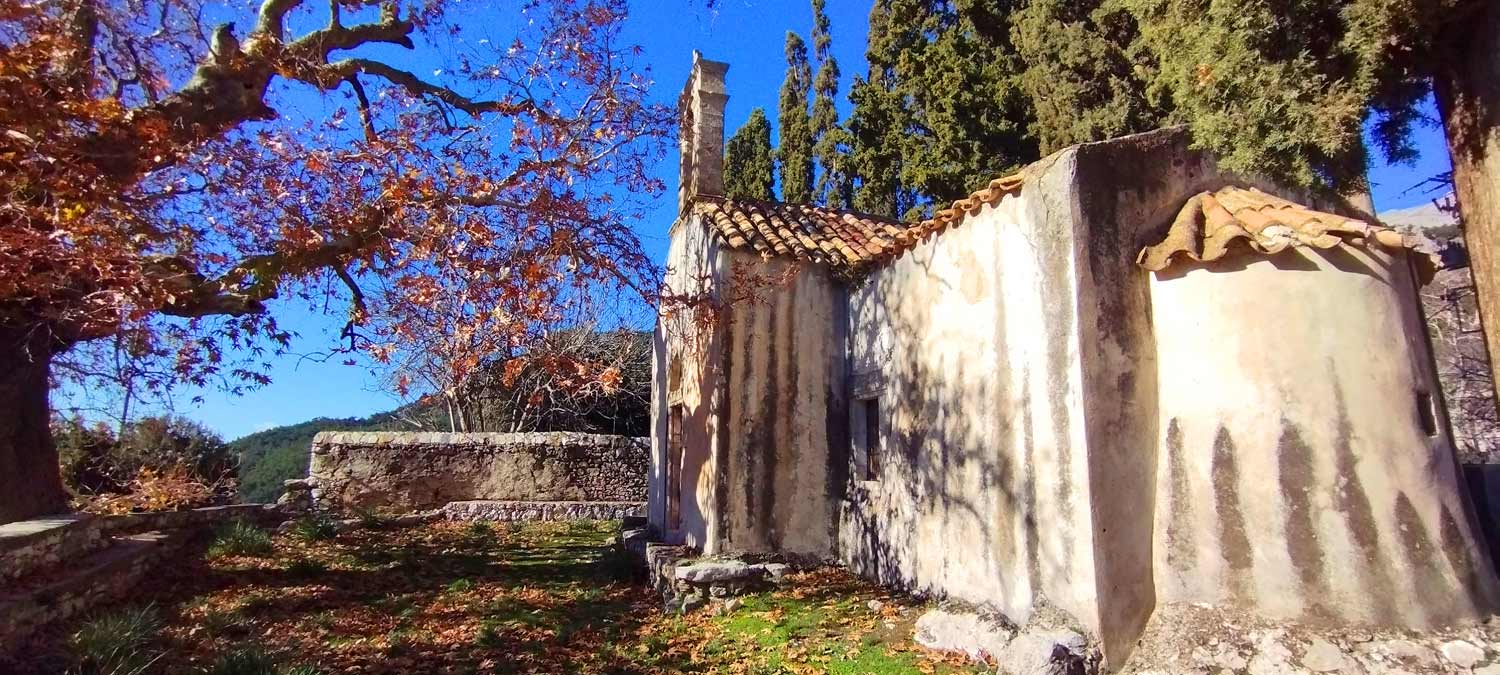
– The Byzantine church of Agios Georgios, from the 15th century with wonderful frescoes, which were made during the Alosion of Constantinople.
– The Triklitos Church of the Transfiguration of the Savior, built in 1841.
Additional Info
Altitude: Lowest point : 780 (Kato Simi Village) – Highest point: 960 m (Pano Simi Plateau)
Starting Point: Kato Simi Village
Path Type: Most (95%) of the walk on dirt roads
Difficulty: Easy
Walk distance (and back to starting point): 8 km : 3 hours and 15 min
Sitia Geopark
The Natural Park of Sitia is on the easternmost edge of Crete, in the Municipality of Sitia. It covers the…

This Post Has 0 Comments