A world-famous tourist resort north of Agios Nikolaos, with lacy, windless sandy beaches, crystal clear…
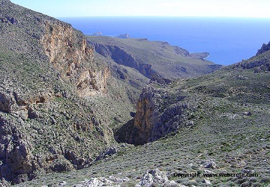
Agia Irini Gorge
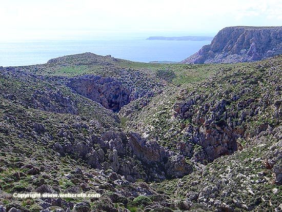
The gorge is known to the natives, but unknown to the most of the visitors, who pass from Ziros or Xerokambos (the two destinations most known near the gorge). In fact here we have two different gorges, the north and the south, which they meet just before the seashore.
We are going to describe mostly the southern gorge in this page.
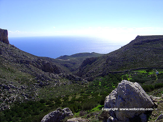
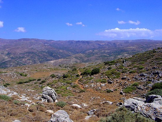
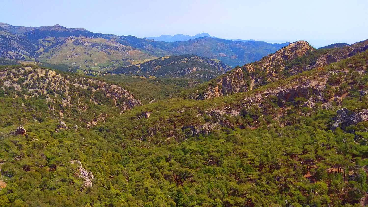
In order to reach the entrance of the gorge, we follow the dirt road from Hametoulo settlement to Agia Irini. It starts south of Hamaitoulo to the south, and just after 300m, we turn from the asphalted road, and start descending on the dirt road (direction south). At the beginning we walk through some olive groves, which are planted very closely in some places. After we pass through the groves, we enter a wild and rocky area. 2,5 kms far from from the asphalted road, on our left we see the entrance of the gorge. From that point we get out of the dirt road and we enter the gorge.
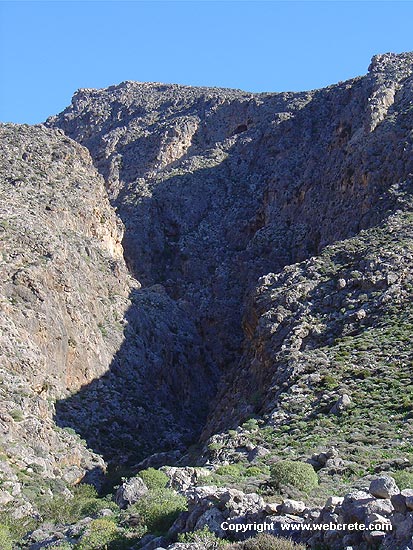
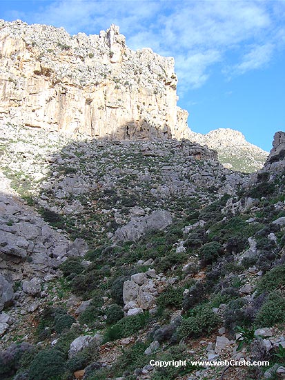
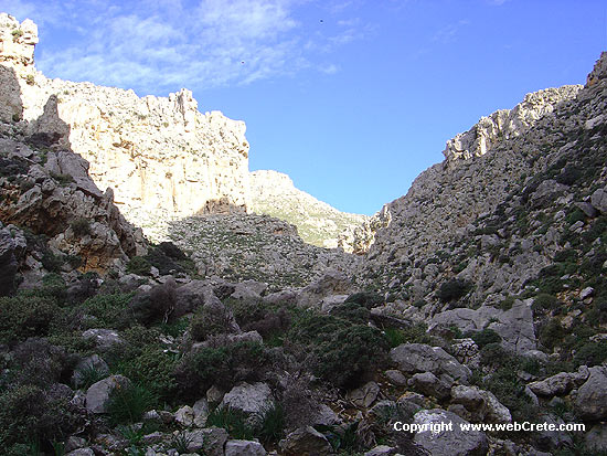
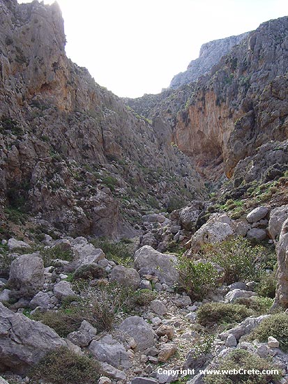
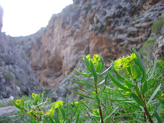
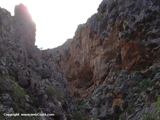
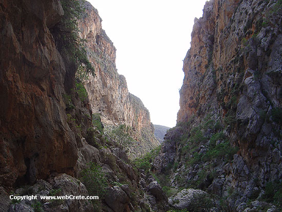
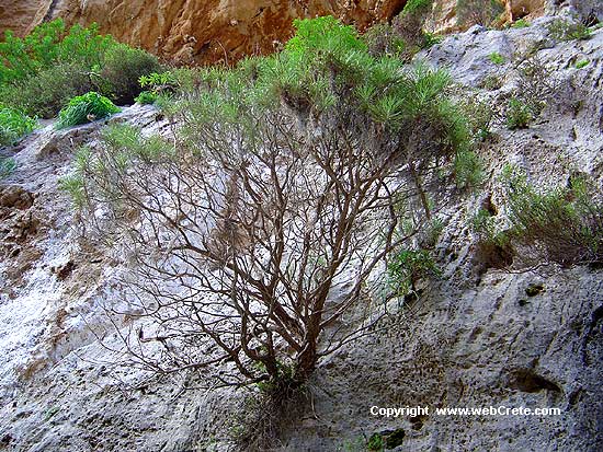
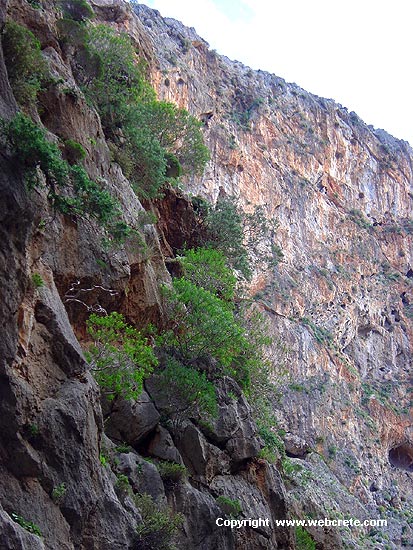
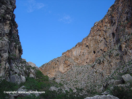
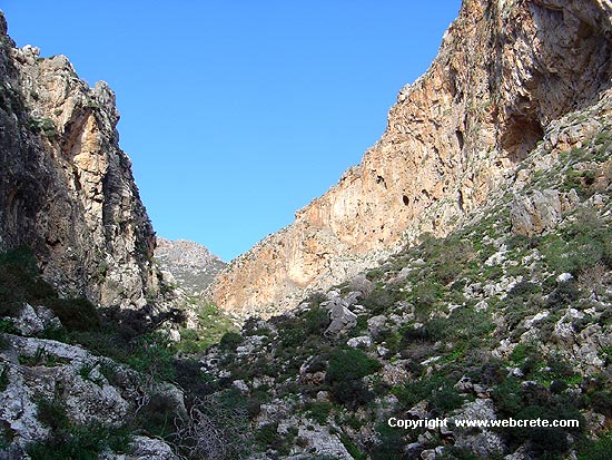
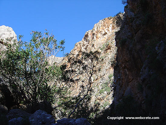
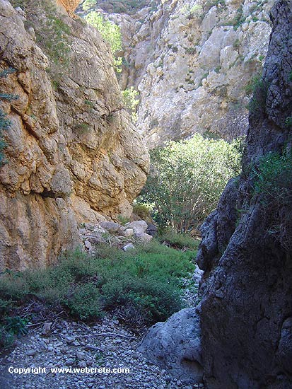
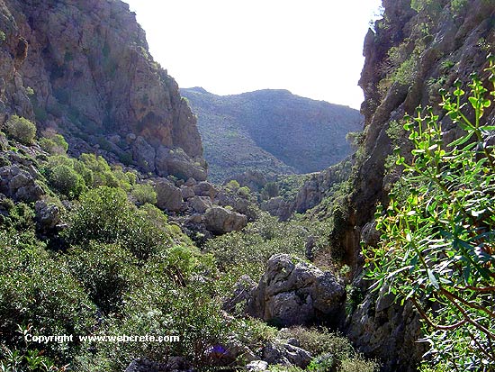
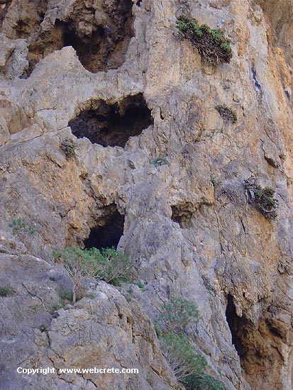
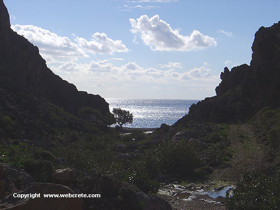
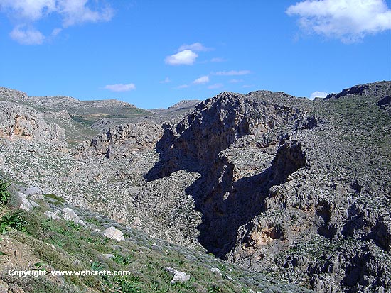
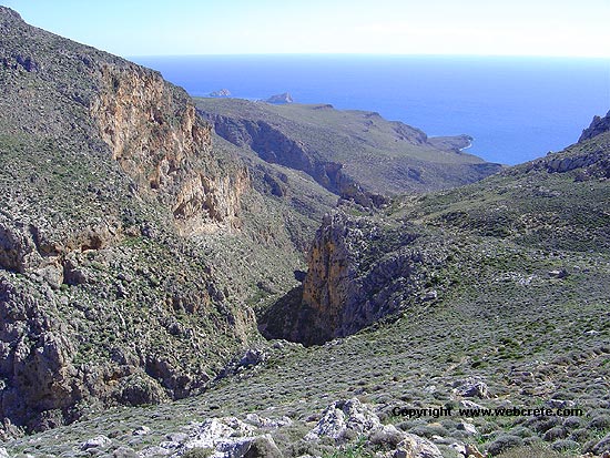
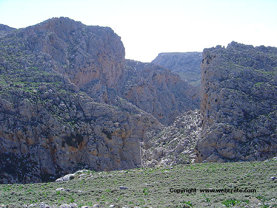
There is no path, that’ s why you have to be very careful. Sometimes the pass is difficult and we need to have a very good physical condition!! We don’t recommend to those who are not used in hard hiking. The gorge is very declivitous, but so impressive and somewhere it is too narrow (3-4 m) with high cliff to both sides.
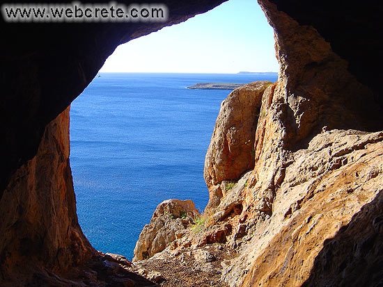
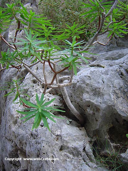
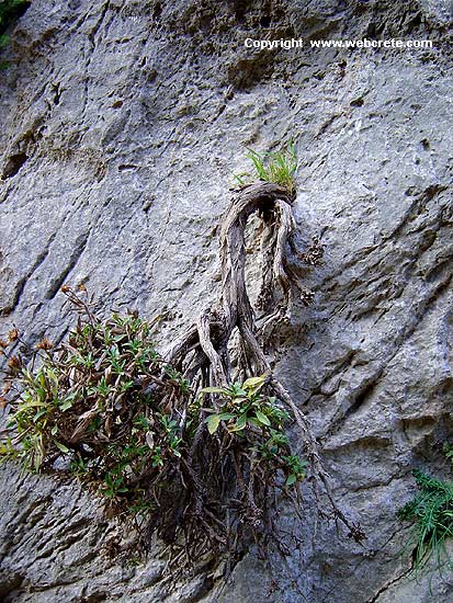
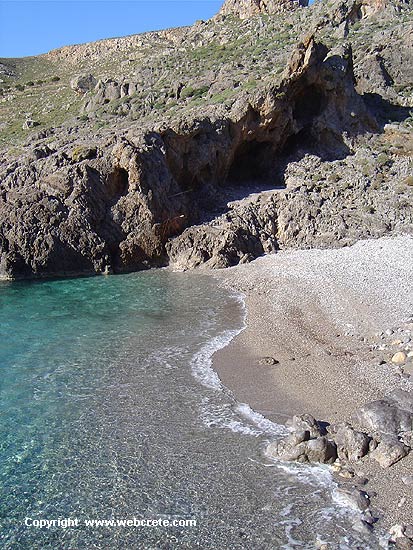
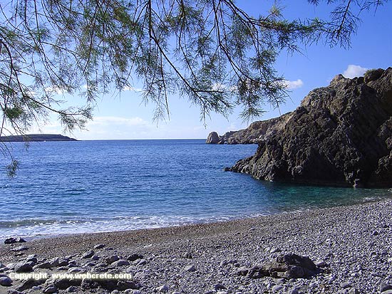
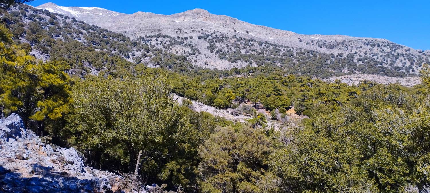
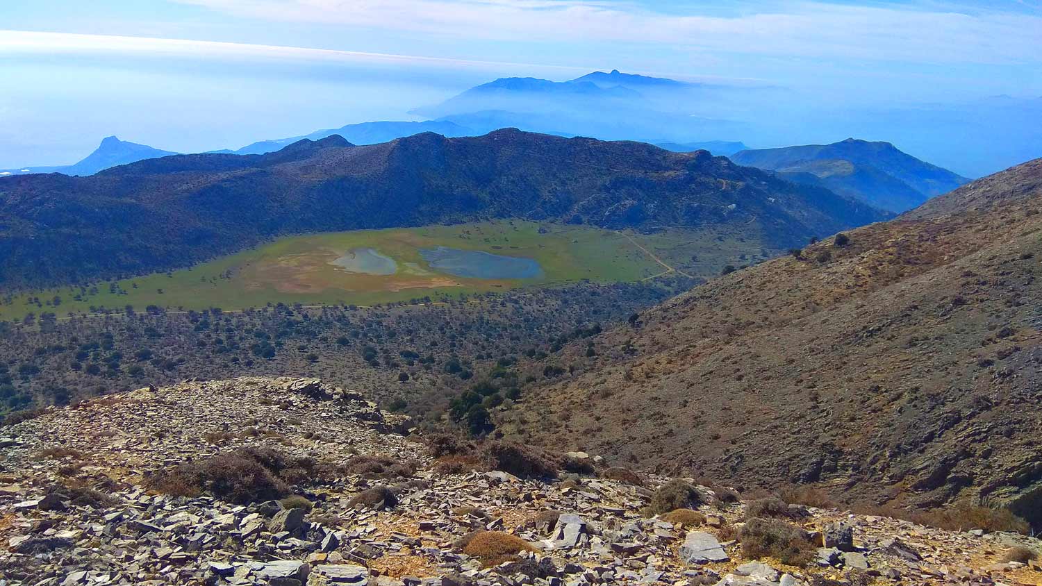
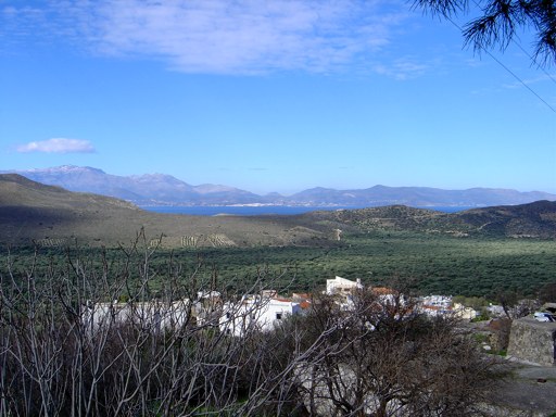
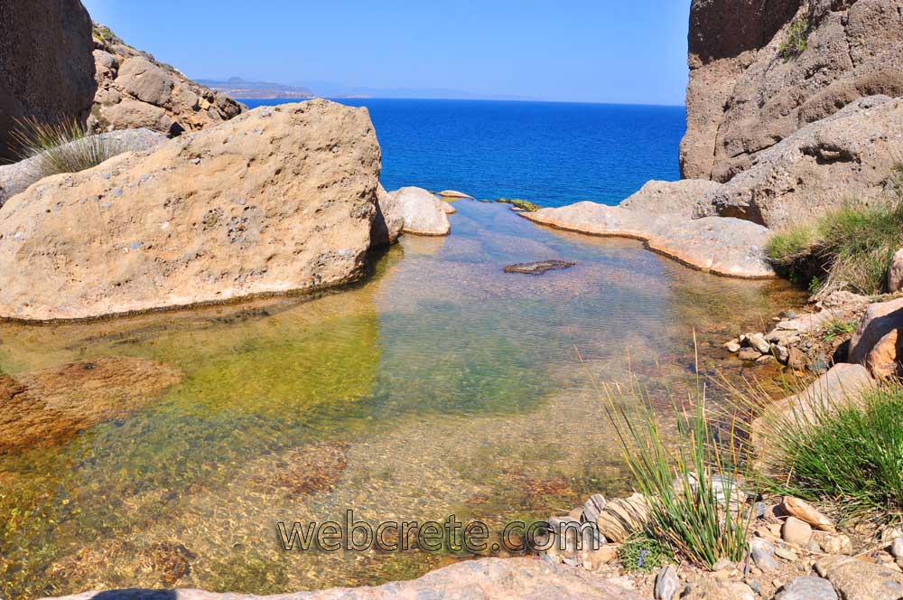
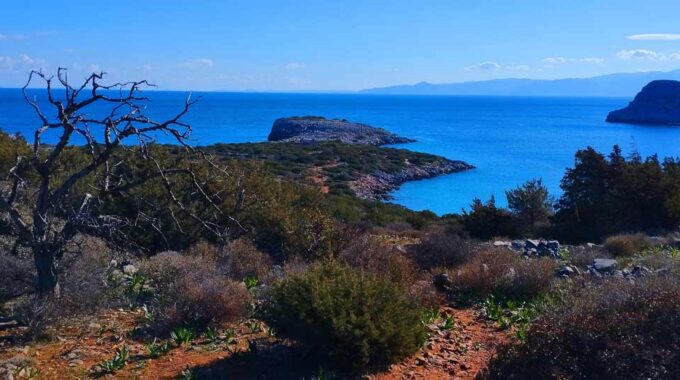
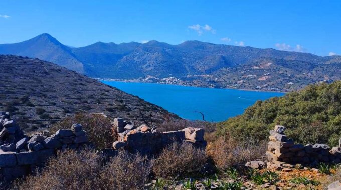
It was very difficult to us to choose the photos we display here. They were many more, but we had to decrease their number. Hametoulo is at almost 600m altitude and the gorge starts from 350 m high and ends to the sea. In order to pass the gorge itself, we need about 2 hours. As we arrive at the end, i.e. at the seashore, we can swim at the small pebbled beach.
The settlement of Agia Irini is located 500 m far from that beach and up to the hill. You can return to the point you started on the dirt road. If you have a very good physical condition, you can visit the northern gorge, which joins the southern 1 km before you reach the beach.
You have to take into account that the northern gorge is much harder, with difficult passes and in some place there are bluff hypsometric differences !! But it is possible for a well-conditioned wayfarer to pass. The beginning of the northern gorge is just 1 km far from the asphalted road, near Hametoulo.
One more alternative solution for the return is to pass the path which the leads to Xerokambos, parallel to the coast and when you reach there, you can return near Hametoulo by a passing car, where you started passing the gorge. In order to spot the path, you have to ask a native from Agia Irini village.
HAMETOULO – GORGE – AGIA IRINI – HAMETOULO (return from the dirt road) : 4-6 hours walking.
HAMETOULO – GORGE – AGIA IRINI – XEROKAMBOS : 3-4 hours walking
Xerokambos-Agia Irini
If you desire to be acquainted of eastern Crete, don’t forget to visit Xerokambos, a seaside resort known as a…
Additional Info
Altitude: From Hametoulo 580m – Gorge starts at 350m to 0m (Beach)
Starting point: 3,5km southeast from Hamaitoulo village
Path Type: No path – No marks. Riverbed crossing
Difficulty: Moderate
Walk distance: 2,5km – 2 hours
This Post Has 0 Comments